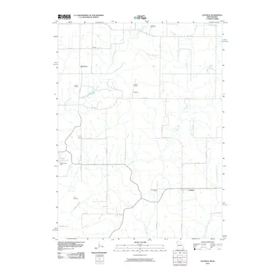
2010 Map of Hatfield
USGS Topo · Published 2010About this map
Hatfield serves as the primary settlement in this rural landscape straddling the Missouri-Iowa border, where a network of gravel roads connects small communities and family burial grounds. The agricultural character of Harrison County is evident in the scattered locations of Thomas, Watterson, and Ringgold, which persist as focal points in a region defined by its watercourses. The drainage system is dominated by the East Fork Grand River and Lotts Creek, creating a varied topography of creek bottoms and upland farms. For local historians and genealogists, the map provides precise locations for several commemorative sites, including Lincoln Center Cemetery, Oakdale Cemetery, and Petry Cemetery. Human modifications to the hydrology are marked by Cottrel Lake Dam and Marie Lake, illustrating how the mid-century inhabitants managed the area's natural water resources for local use.
Find a feature on this map
37 named features on this map. Tap any name to fly to it.
Don’t see what you’re looking for? This feature index may not catch every label — zoom into the map to look around manually.
Map Details
Editions of this 2010 Hatfield Map
This is the sole edition of this map. No revisions or reprints were ever made.
Other maps of this area

1940 · Blockton
USGS Topo · 1:62,500

1942 · Grant City
USGS Topo · 1:62,500

1943 · Grant City
USGS Topo · 1:62,500

1943 · Blockton
USGS Topo · 1:62,500

1945 · Mount Ayr
USGS Topo · 1:62,500

1947 · Mount Ayr
USGS Topo · 1:62,500

1948 · Bethany
USGS Topo · 1:62,500

1955 · Nebraska City
USGS Topo · 1:250,000

1957 · Nebraska City
USGS Topo · 1:250,000

1958 · Nebraska City
USGS Topo · 1:250,000