Old Maps of Butcher, Missouri for Hiking & Exploration
Hike through history with 13 historic maps of Butcher. Explore old trails, ghost towns, and forgotten backroads — perfect for outdoor adventurers and local explorers.
- Rediscover forgotten places: Map out old mining camps, roads, and footpaths that no longer exist on modern maps.
- Layer with modern tools: Combine with LiDAR or satellite views to plan hikes through historical terrain.
- Made for exploration: Popular among hikers, overlanders, and local history lovers.
Use these maps to find adventure and explore the hidden past of Butcher.
Butcher, MO maps
(13)- 1884 Map of Bolivar
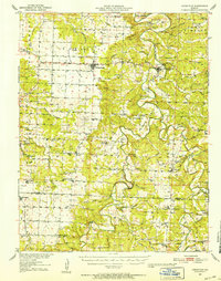
 1884 Bolivar1884 Print · USGSSouthwestern Missouri in the mid-1880s is documented here at a time when river drainage and ridge-top travel dictated the growth of local townships. Researchers can trace early rural post offices and communities like Hermitage, Half Way, and Parks Mill.
 - 1892 Map of Bolivar, 1898 Print
 1892 Bolivar1898 Print · USGSMissouri's central Ozarks borderlands are captured here in the 1880s, showcasing the early layout of Polk and Hickory counties. Genealogists can trace family roots through localized sites like Parks Mill, the early street grids of Bolivar and Buffalo, and the settlement at Hermitage.5 unique versions available
 - 1951 Map of Hermitage, 1952 Print
 1951 Hermitage1952 Print · USGSMid-century Hickory County is defined here by the winding Pomme de Terre River and a landscape of isolated farmsteads and rural schools. Genealogists and historians can trace family locations at McCracken Cemetery or study vanished community hubs like Elkton Sch and Rondo.3 unique versions available
 - 1954 Map of Springfield
 1954 Springfield1954 Print · USGSThe Missouri Ozarks are captured here during the post-war era, showing the expansion of Springfield and the surrounding river valleys. Genealogists and historians can trace local landmarks like Mount Comfort Cemetery and the Fort Leonard Wood military grounds.6 unique versions available
 - 1958 Map of Springfield
 1958 Springfield1958 Print · USGSThe Missouri Ozarks are captured during the mid-century era of growth, centered on the bustling hub of Springfield. Genealogists and historians can trace family roots through numerous landmarks like Ebenezer Church, Stockton Cem, and the various county courthouses.
 - 1959 Map of Springfield
 1959 Springfield1959 Print · USGSThe Missouri Ozarks are captured here during a decade of postwar growth and increasing highway connectivity. Researchers can trace the legacy of the St Louis-San Francisco RR and locate early sites in Springfield, Lebanon, and Mountain Grove.
 - 1980 Map of Wheatland, 1982 Print
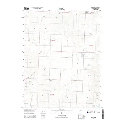
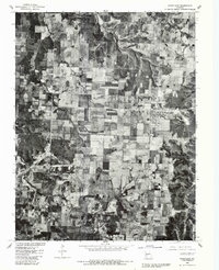 1980 Wheatland1982 Print · USGSHickory County farmland and small crossroads settlements are seen in sharp aerial detail in the early eighties. Local researchers can trace property lines and field patterns near Wheatland and the community of Butcher.
 - 1982 Map of Wheatland
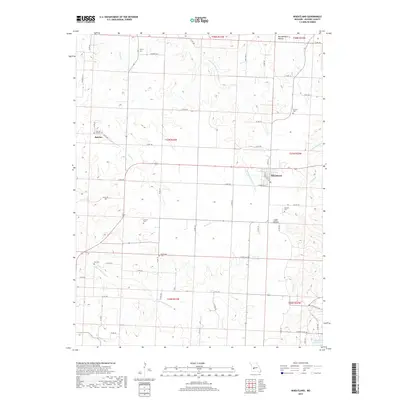
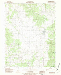 1982 Wheatland1982 Print · USGSHickory County's rural landscape is captured here in the early eighties, centered on the settlement of Wheatland and the Wheatland Prairie. Genealogists and local historians can trace family-named sites such as Sumner Cem and Pope Cem or explore the karst features of Vanderman Cave.
 - 1984 Map of Bolivar
 1984 Bolivar1984 Print · USGSWestern Missouri in the mid-eighties shows a landscape shaped by large-scale water management and rail commerce. Genealogists and historians can trace the development of towns like Bolivar and El Dorado Springs alongside the massive Stockton Lake.
 - 2011 Map of Wheatland, 2011 Print
 2011 Wheatland2011 Print · USGSCovers Butcher, including Wheatland, Hickory County, and other nearby areas
 - 2015 Map of Wheatland, 2015 Print
 2015 Wheatland2015 Print · USGSCovers Butcher, including Wheatland, Hickory County, and other nearby areas
 - 2017 Map of Wheatland, 2017 Print
 2017 Wheatland2017 Print · USGSCovers Butcher, including Wheatland, Hickory County, and other nearby areas
 - 2021 Map of Wheatland, 2021 Print
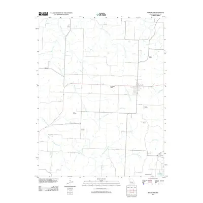
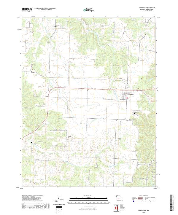 2021 Wheatland2021 Print · USGSHickory County's rural character is preserved in this recent study of the Wheatland area. Researchers can locate numerous family burial grounds including Fairview Butcher Cem, Sumner Cem, and Poe Cem along the banks of Little Weaubleau Cr.
End of results
Showing maps 1-13 of 13
Top cities near Butcher
- Humansville historical maps
- Osceola historical maps
- Lowry City historical maps
- Weaubleau historical maps
- Hermitage historical maps
- Wheatland historical maps
See more
Frequently asked questions
- What are the different types of historical maps available for Butcher?
- What is the oldest map of Butcher?
- Where can I purchase historical maps of Butcher for my home or office?
- Where can I download high-res historical maps of Butcher?
- Are there historical topographic maps available for Butcher?
- Is there historical aerial imagery available for Butcher?
- Where are historical maps of Butcher sourced from?