Old Maps of Glasgow, Missouri for Metal Detecting
Plan your next treasure hunt with 12 historic maps of Glasgow. Find old homesites, ghost towns, trails, and gathering spots that may be lost to time — perfect for identifying promising metal detecting locations.
- Locate forgotten sites: Uncover places like long-lost settlements, abandoned rail lines, or gathering spots.
- Plan better hunts: Use map overlays combined with LiDAR or satellite views to narrow in on historically rich areas.
- Made for detectorists: Thousands of hobbyists use these maps to discover relics, coins, and hidden history.
Use these historic maps to boost your research and find new opportunities beneath the surface of Glasgow.
Glasgow, MO maps
(12)- 1890 Map of Glasgow
 1890 Glasgow1890 Print · USGSCentral Missouri in the late nineteenth century was a bustling intersection of river traffic and new rail lines. Genealogists and historians can trace family roots through riverfront towns like Arrow Rock and Glasgow, or locate rural sites like Jackman Mills and Whites Store.5 unique versions available
 - 1947 Map of Glasgow
 1947 Glasgow1947 Print · USGSThe Missouri River bottomlands in the mid-1940s reveal a landscape of shifting channels and established river towns. You can trace early settlement patterns through numerous rural landmarks like Sappington Cem, Boonesboro, and Farmers High Sch.2 unique versions available
 - 1953 Map of Moberly
 1953 Moberly1953 Print · USGSMid-century north-central Missouri is documented here as a bustling intersection of river commerce and heavy rail. Researchers can trace historic family-named landmarks and transport hubs from the Missouri River corridor to the rail yards of Moberly, Chillicothe, and Macon.
 - 1954 Map of Moberly, 1969 Print
 1954 Moberly1969 Print · USGSMid-century Missouri is captured here during a period of transition for its river towns and rail hubs. Genealogists and historians can trace the paths of the Wabash railroad through Moberly or explore the riverside layout of Lexington and Brunswick.3 unique versions available
 - 1957 Map of Moberly
 1957 Moberly1957 Print · USGSNorth-central Missouri in the late nineteen-forties and fifties remains a landscape defined by its great rivers and a dense network of steam and diesel rail lines. Genealogists and historians can trace the paths of the Wabash RR and Santa Fe RR through historic junctions like Moberly, Brookfield, and Macon.
 - 1960 Map of Moberly
 1960 Moberly1960 Print · USGSCentral Missouri comes alive in the mid-twentieth century as a bustling network of river towns and significant rail corridors. Genealogists and historians can trace the paths of the Wabash RR through Moberly or explore the riverfronts of Lexington and Brunswick.
 - 1971 Map of Glasgow, 1972 Print
 1971 Glasgow1972 Print · USGSThe Missouri River town of Glasgow is captured in the early seventies at a vital crossroads of three counties and major rail lines. Genealogists and local historians can trace the paths of the Gulf Mobile and Ohio railroad through Steinmetz or locate the Richland Ch and Pleasant Green Cem.
 - 1985 Map of Moberly
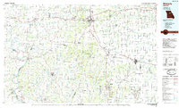 1985 Moberly1985 Print · USGSCentral Missouri in the mid-eighties shows a landscape of rail-connected towns and active resource extraction across Randolph and Howard Counties. Genealogists and historians can locate family landmarks like Sunset Hill Cem or trace the Norfolk and Western RR through Moberly and Salisbury.2 unique versions available
 - 2012 Map of Glasgow, 2012 Print
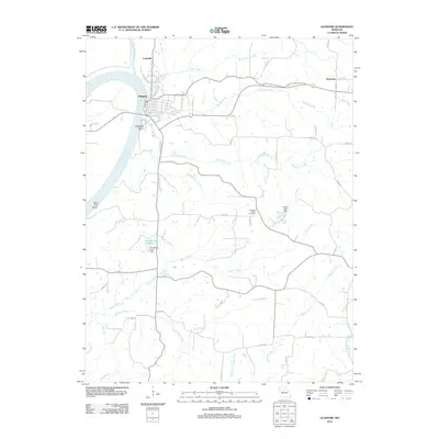 2012 Glasgow2012 Print · USGSGlasgow and the Missouri River bottoms are shown in detail here during the early twenty-first century. Researchers can trace land tracts near Pleasant Green Cemetery, explore the rural crossroads of Steinmetz, or follow the banks of the Little Chariton River.
 - 2014 Map of Glasgow, 2014 Print
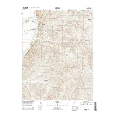 2014 Glasgow2014 Print · USGSThe Missouri River town of Glasgow is captured in the early twenty-first century, showing the complex river bends and Howard County uplands. Genealogists can locate family landmarks like Washington Cemetery, Pleasant Green Cemetery, and the small community of Steinmetz.
 - 2017 Map of Glasgow, 2017 Print
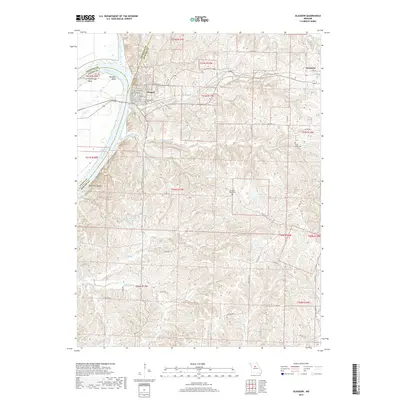 2017 Glasgow2017 Print · USGSThe riverfront town of Glasgow and the surrounding river bluffs are shown in detail during the early twenty-first century. Genealogists and local historians can trace family roots at Washington Cemetery or explore the rural layout around Steinmetz and the Missouri River.
 - 2021 Map of Glasgow, 2021 Print
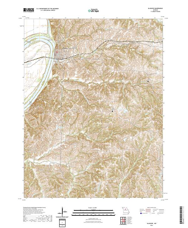 2021 Glasgow2021 Print · USGSThe Missouri River bluffs and the riverfront town of Glasgow are captured here in the early 2020s. Genealogists can locate several local burial grounds including Washington Cem and Sugar Grove Cem alongside landmarks like Glasgow Bend.
End of results
Showing maps 1-12 of 12
Top cities near Glasgow
- Fayette historical maps
- Slater historical maps
- Salisbury historical maps
- New Franklin historical maps
- Keytesville historical maps
- Armstrong historical maps
See more
Frequently asked questions
- What are the different types of historical maps available for Glasgow?
- What is the oldest map of Glasgow?
- Where can I purchase historical maps of Glasgow for my home or office?
- Where can I download high-res historical maps of Glasgow?
- Are there historical topographic maps available for Glasgow?
- Is there historical aerial imagery available for Glasgow?
- Where are historical maps of Glasgow sourced from?