Old Maps of Banner, Missouri for Genealogy
Trace your family roots with 19 historic maps of Banner. These high-res maps reveal old neighborhoods, homesites, landmarks, and streets — helping you uncover where your ancestors lived and how the area evolved over time.
- Explore historic neighborhoods: Identify where your relatives may have lived in the 1800s or 1900s.
- Compare maps over time: Trace the changes in streets, buildings, and landmarks for multi-generational research.
- Perfect for genealogy & ancestry research: Used by family historians and researchers to map out lineage and migration.
These maps are an incredible resource for exploring your personal connection to Banner's past.
Banner, MO maps
(19)- 1924 Map of Edgehill, 1962 Print
 1924 Edgehill1962 Print · USGSThe Missouri Ozarks are captured here during the mid-1920s, showing a landscape of remote mountain settlements and small valley farms. Local historians can trace early rural life through landmarks like Maxwells Mill, the Mountainville Store, and the Beulah Land Church.
 - 1926 Map of Edgehill
 1926 Edgehill1926 Print · USGSThe Missouri Ozarks are captured here in the mid-1920s, showing a landscape of remote mountain schools and water-driven industry. Local historians can trace the foundations of Edgehill and Monterey, or locate early landmarks like Maxwells Mill and Council Bluff Church.3 unique versions available
 - 1949 Map of Rolla, 1950 Print
 1949 Rolla1950 Print · USGSThe Missouri Ozarks are captured here just after the war, showing a landscape of deep river valleys and emerging reservoir projects. Genealogists and historians can trace the mining towns of Bonne Terre and Potosi or follow the early route of U.S. Highway 66.
 - 1953 Map of Rolla
 1953 Rolla1953 Print · USGSSoutheast Missouri’s mining towns and timberlands are seen here at the start of the 1950s. Genealogists and historians can trace the rail-and-river economy through local hubs like Fredericktown and the lead-mining heritage of Potosi and Desloge.
 - 1954 Map of Rolla, 1970 Print
 1954 Rolla1970 Print · USGSThe Missouri Ozarks and the historic Lead Belt are captured in the late sixties, showing a landscape of deep river hollows and industrial mines. Researchers can trace the routes of the Missouri Pacific RR to extraction sites like the Iron Mountain Mine or Pea Ridge Mine.2 unique versions available
 - 1958 Map of Rolla
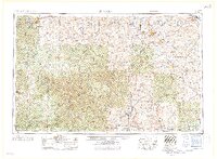 1958 Rolla1958 Print · USGSThe Missouri Ozarks and the lead-rich hills of the southeast are captured here in the late fifties as timber and mining shaped the local economy. Researchers can locate family landmarks like the Rolla Cemetery or trace old rail lines including the Missouri-Illinois RR and St Louis-San Francisco RR.
 - 1959 Map of Rolla
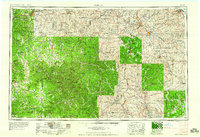 1959 Rolla1959 Print · USGSMid-century Missouri is defined here by the deep forests of the Ozarks and the industrial peaks of the St Francois Mountains. Genealogists and historians can trace the development of towns like Potosi and Fredericktown or locate rural landmarks like Dry Fork Church and the Phelps County Courthouse.
 - 1960 Map of Rolla
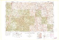 1960 Rolla1960 Print · USGSThe Ozark Highlands in the mid-twentieth century reveal a landscape of deep timber and heavy industry. Researchers can trace the rail-and-mine economy through the St Louis-San Francisco RR and the Iron Mountain Mine, alongside the growth of Fort Leonard Wood.
 - 1966 Map of Rolla
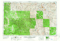 1966 Rolla1966 Print · USGSThe Missouri Ozarks are revealed here in the mid-1960s, showing the intersection of heavy industry and sprawling national forests. Trace the development of the Lead Belt near Flat River or locate family roots in vanished hamlets like Enough and Howes Mill.
 - 1968 Map of Banner, 1969 Print
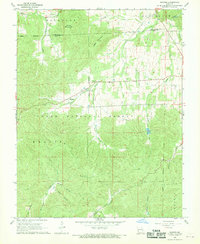 1968 Banner1969 Print · USGSIron County's rugged Ozark terrain is captured here in the late sixties, showing a landscape defined by forest boundaries and mountain peaks. Genealogists and local historians can trace family sites like Tullock Cem and Richardson Cem, or locate landmarks like Full Gospel Chapel and the Bell Mountain Lookout Tower.2 unique versions available
 - 1971 Map of Rolla
 1971 Rolla1971 Print · USGSThe Missouri Ozarks are captured here during the early seventies, showing a landscape of deep river valleys and industrial mining towns. Researchers can trace historic lead mining operations at St Joseph Mines and locate rural landmarks like Viburnum and the Galveston Trail.
 - 1986 Map of Farmington
 1986 Farmington1986 Print · USGSThe Missouri Lead Belt and the eastern Ozarks are detailed here in the mid-1980s, showcasing a landscape of intensive mining and deep forest. Researchers can trace the Missouri Pacific RR line through industrial centers like Bonne Terre and Flat River, or locate remote landmarks like Elephant Rocks.
 - 1987 Map of Farmington
 1987 Farmington1987 Print · USGSThe St. Francois Mountains and Missouri Lead Belt are shown in the late eighties as industry and conservation converged. Researchers can trace the rail lines of the Missouri Pacific and locate historic mining sites like Mine La Motte and the Iron Mountain Mine.
 - 1989 Map of Rolla
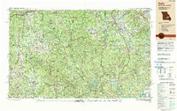 1989 Rolla1989 Print · USGSThe Missouri Ozarks are captured in the late eighties as a landscape of national forests and historic mining towns. Researchers can trace the rail lines of the Missouri Pacific RR or locate landmarks like Taum Sauk Mtn and Elephant Rocks State Park.
 - 1999 Map of Banner, 2002 Print
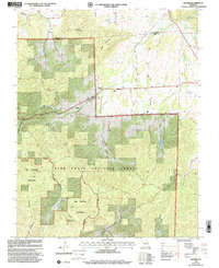 1999 Banner2002 Print · USGSThe Iron and Washington County line at the close of the century reveals a landscape shaped by forest conservation and rural life. Researchers can trace family history at Tullock Cem or explore the wilderness boundaries near Banner and Pruitt Mountain.
 - 2011 Map of Banner, 2011 Print
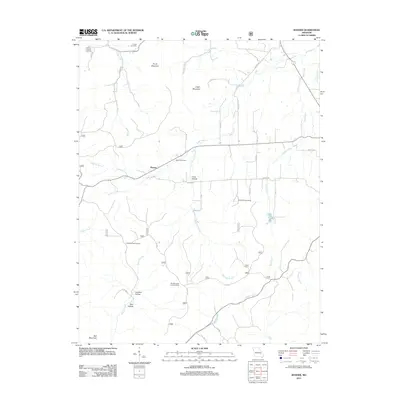 2011 Banner2011 Print · USGSIron County’s wooded ridges and rural crossroads come into focus during the early twenty-first century. Genealogists and local historians can trace family ties through several burial sites including Thomas Chapel and Nelson Cemetery, or locate the Bell Mountain Lookout Tower.
 - 2015 Map of Banner, 2015 Print
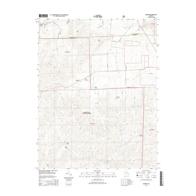 2015 Banner2015 Print · USGSIron and Washington counties are documented here in 2015, showing a landscape of high peaks and isolated family cemeteries. Genealogists can locate Nelson Cemetery, Thomas Chapel, and the settlement of Banner along the mountain roads.
 - 2017 Map of Banner, 2017 Print
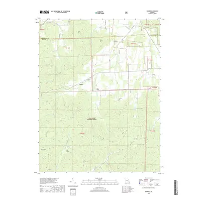 2017 Banner2017 Print · USGSIron and Washington counties come together in these Missouri highlands as they appeared in 2017, where the forest meets small rural settlements. Genealogists and hikers can trace remote burial sites like Nelson Cem or explore the heights of Bell Mountain and Logan Mtn.
 - 2021 Map of Banner, 2021 Print
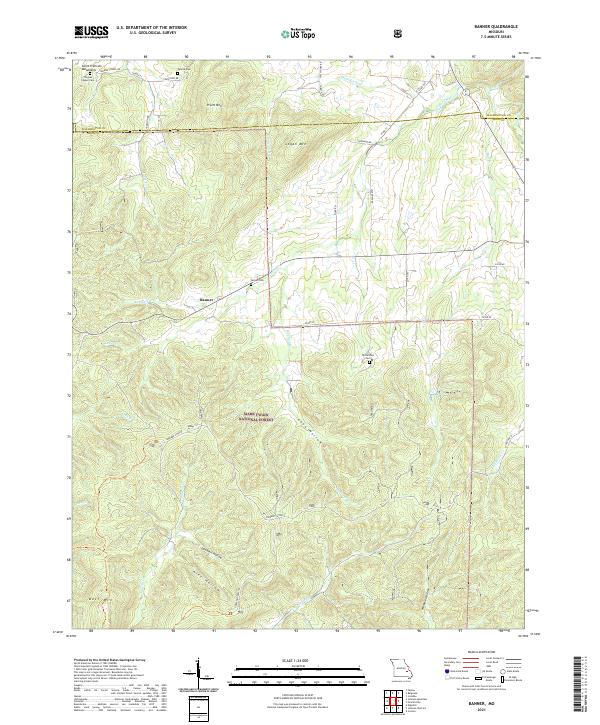 2021 Banner2021 Print · USGSThe Missouri Ozarks and the peaks of the Saint Francois Mountains appear here in the early twenty-first century. Researchers can locate remote family landmarks like Tullock Cem and Nelson Cem or trace the drainage of Shut-in Cr near Banner.
End of results
Showing maps 1-19 of 19
Top cities near Banner
- Potosi historical maps
- Bismarck historical maps
- Ironton historical maps
- Iron Mountain Lake historical maps
- Pilot Knob historical maps
- Arcadia historical maps
See more
Frequently asked questions
- What are the different types of historical maps available for Banner?
- What is the oldest map of Banner?
- Where can I purchase historical maps of Banner for my home or office?
- Where can I download high-res historical maps of Banner?
- Are there historical topographic maps available for Banner?
- Is there historical aerial imagery available for Banner?
- Where are historical maps of Banner sourced from?