Old Maps of Wellington, Missouri for Hiking & Exploration
Hike through history with 12 historic maps of Wellington. Explore old trails, ghost towns, and forgotten backroads — perfect for outdoor adventurers and local explorers.
- Rediscover forgotten places: Map out old mining camps, roads, and footpaths that no longer exist on modern maps.
- Layer with modern tools: Combine with LiDAR or satellite views to plan hikes through historical terrain.
- Made for exploration: Popular among hikers, overlanders, and local history lovers.
Use these maps to find adventure and explore the hidden past of Wellington.
Wellington, MO maps
(12)- 1889 Map of Lexington
 1889 Lexington1889 Print · USGSLafayette and Ray Counties are captured here during the late nineteenth-century rail boom. Researchers can trace the development of river towns and rail junctions like Lexington, Lexington Junction, and the riverside landing at Miles Point.6 unique versions available
 - 1949 Map of Lexington West, 1963 Print
 1949 Lexington West1963 Print · USGSThe Missouri River floodplain in the late 1940s reveals a complex network of rail lines and riverfront industry between Ray and Lafayette counties. Researchers can trace the river's influence through features like the Sunshine Lake oxbow, the Henrietta rail junction, and the Myrick riverfront.3 unique versions available
 - 1950 Map of Lexington West, 1965 Print
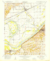 1950 Lexington West1965 Print · USGSThe Missouri River bluffs at the turn of the 1950s reveal a landscape of coal mining and river navigation along the Ray and Lafayette county lines. Researchers can trace family history through sites like Lexington Battle Ground, Sunshine Sch, and Foster Cem.
 - 1953 Map of Moberly
 1953 Moberly1953 Print · USGSMid-century north-central Missouri is documented here as a bustling intersection of river commerce and heavy rail. Researchers can trace historic family-named landmarks and transport hubs from the Missouri River corridor to the rail yards of Moberly, Chillicothe, and Macon.
 - 1954 Map of Moberly, 1969 Print
 1954 Moberly1969 Print · USGSMid-century Missouri is captured here during a period of transition for its river towns and rail hubs. Genealogists and historians can trace the paths of the Wabash railroad through Moberly or explore the riverside layout of Lexington and Brunswick.3 unique versions available
 - 1957 Map of Moberly
 1957 Moberly1957 Print · USGSNorth-central Missouri in the late nineteen-forties and fifties remains a landscape defined by its great rivers and a dense network of steam and diesel rail lines. Genealogists and historians can trace the paths of the Wabash RR and Santa Fe RR through historic junctions like Moberly, Brookfield, and Macon.
 - 1960 Map of Moberly
 1960 Moberly1960 Print · USGSCentral Missouri comes alive in the mid-twentieth century as a bustling network of river towns and significant rail corridors. Genealogists and historians can trace the paths of the Wabash RR through Moberly or explore the riverfronts of Lexington and Brunswick.
 - 1982 Map of Marshall
 1982 Marshall1982 Print · USGSMid-Missouri river life and rail history meet in this early 1980s landscape, centered on the Missouri's winding course. Researchers can trace the historic Santa Fe Trail and explore sites like the Confederate Memorial State Park and Carrollton Mem Cemetery.
 - 2012 Map of Lexington West, 2012 Print
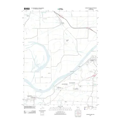 2012 Lexington West2012 Print · USGSThe Missouri River dominates this 2012 landscape near the historic river town of Lexington. Researchers can trace local heritage at the Lexington Battle Ground, locate family plots at Foster Cemetery, or study the watershed near Hollingsworth Lake.
 - 2015 Map of Lexington West, 2015 Print
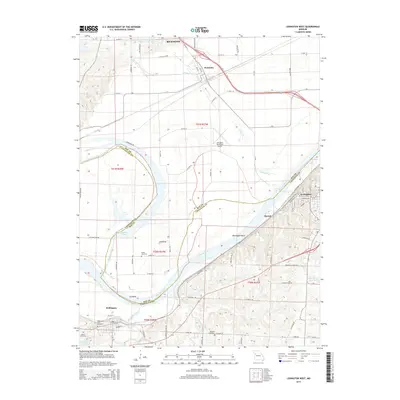 2015 Lexington West2015 Print · USGSThe Missouri River valley along the Ray and Lafayette county line is captured here in the mid-2010s. Researchers can trace historical riverfront settlements like Lexington and Wellington or locate family landmarks such as Foster Cemetery and Martin Cemetery.
 - 2017 Map of Lexington West, 2017 Print
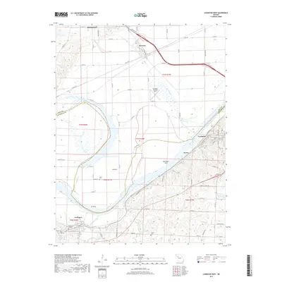 2017 Lexington West2017 Print · USGSThe Missouri River dominates this Missouri valley landscape, where riverfront towns and upland cemeteries mark the era. Trace local history through Wellington City Cem, the rail siding at Myrick, and the riverside bend at Bootlegger Bend.
 - 2021 Map of Lexington West, 2021 Print
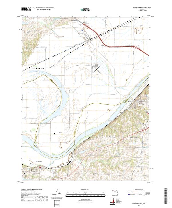 2021 Lexington West2021 Print · USGSThe river bluffs of Lafayette County and the bottomlands of Ray County are detailed here as they appeared in 2021. Researchers can locate family landmarks like Foster Cem and Mitchell Cem or trace the early riverfront history of Myrick and Lexington.
End of results
Showing maps 1-12 of 12
Top cities near Wellington
- Grain Valley historical maps
- Excelsior Springs historical maps
- Oak Grove historical maps
- Richmond historical maps
- Odessa historical maps
- Lexington historical maps
See more
Frequently asked questions
- What are the different types of historical maps available for Wellington?
- What is the oldest map of Wellington?
- Where can I purchase historical maps of Wellington for my home or office?
- Where can I download high-res historical maps of Wellington?
- Are there historical topographic maps available for Wellington?
- Is there historical aerial imagery available for Wellington?
- Where are historical maps of Wellington sourced from?