2000s (21st Century) Maps of Marionville, Missouri
Explore 16 historic maps of Marionville from the 2000s (21st Century). These maps offer a rare glimpse into what life looked like during the 2000s — showing old roads, neighborhoods, homes, and landmarks that have changed or disappeared over time.
Whether you're researching your family's past, planning a metal detecting trip, or studying how Marionville's landscape evolved across the 2000s, these high-resolution maps are a powerful tool for exploring the history of this region.
- Focus on a specific era: All maps on this page are from the 2000s, giving you a focused view of this time period.
- See what’s changed: Compare century-old streets, trails, and buildings to today's modern landscape using overlays and satellite layers.
- Research with precision: Use these maps for genealogy, historical research, land use analysis, or educational projects.
- View, download, or print: Maps are fully viewable online in high resolution, and can be downloaded or printed for your own records.
Start exploring Marionville's history through authentic maps from the 2000s. This is your window into the past.
Marionville, MO maps
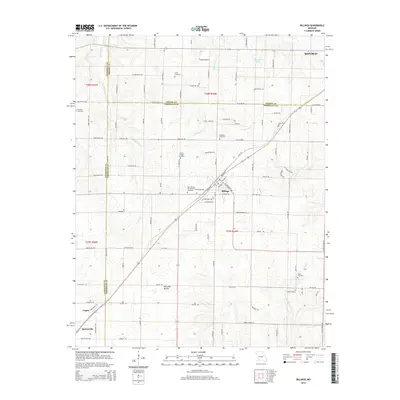
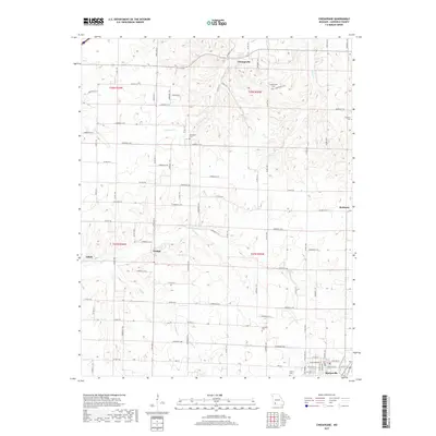
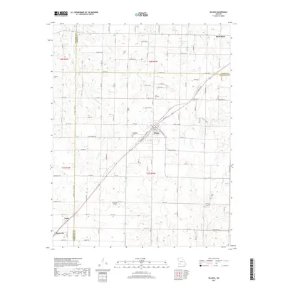
(16)- 2011 Map of Billings, 2011 Print
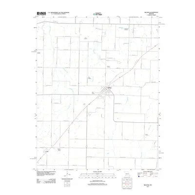 2011 Billings2011 Print · USGSCovers Marionville, including Republic, Clever, and other nearby areas
 - 2011 Map of Chesapeake, 2011 Print
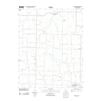 2011 Chesapeake2011 Print · USGSCovers Marionville, including Chesapeake, Elliott, and other nearby areas
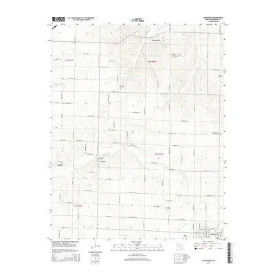
 - 2012 Map of Aurora, 2012 Print
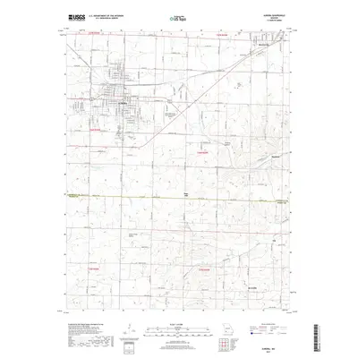
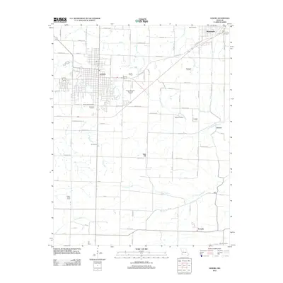 2012 Aurora2012 Print · USGSCovers Marionville, including Aurora, Bonham, and other nearby areas
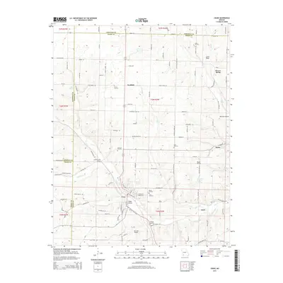
 - 2012 Map of Crane, 2012 Print
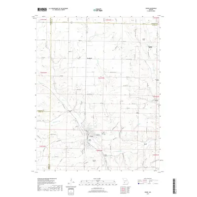
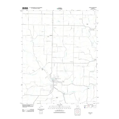 2012 Crane2012 Print · USGSCovers Marionville, including Crane, Hurley, and other nearby areas
 - 2015 Map of Billings, 2015 Print
 2015 Billings2015 Print · USGSCovers Marionville, including Republic, Clever, and other nearby areas
 - 2015 Map of Chesapeake, 2015 Print
 2015 Chesapeake2015 Print · USGSCovers Marionville, including Chesapeake, Elliott, and other nearby areas
 - 2015 Map of Crane, 2015 Print
 2015 Crane2015 Print · USGSCovers Marionville, including Crane, Hurley, and other nearby areas
 - 2015 Map of Aurora, 2015 Print
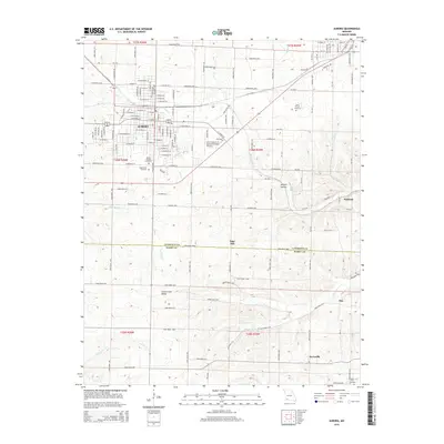 2015 Aurora2015 Print · USGSCovers Marionville, including Aurora, Bonham, and other nearby areas
 - 2017 Map of Chesapeake, 2017 Print
 2017 Chesapeake2017 Print · USGSCovers Marionville, including Chesapeake, Elliott, and other nearby areas
 - 2017 Map of Billings, 2017 Print
 2017 Billings2017 Print · USGSCovers Marionville, including Republic, Clever, and other nearby areas
 - 2017 Map of Aurora, 2017 Print
 2017 Aurora2017 Print · USGSCovers Marionville, including Aurora, Bonham, and other nearby areas
 - 2017 Map of Crane, 2017 Print
 2017 Crane2017 Print · USGSCovers Marionville, including Crane, Hurley, and other nearby areas
 - 2021 Map of Aurora, 2021 Print
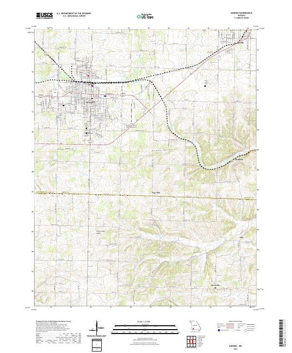 2021 Aurora2021 Print · USGSThe Ozark plateau near the Lawrence and Barry County line is shown here in detail during a period of modern growth and rural continuity. Genealogists can locate family sites near Berry Cemetery and Buck Prairie Cemetery or trace the early paths through Hickory Hollow.
 - 2021 Map of Crane, 2021 Print
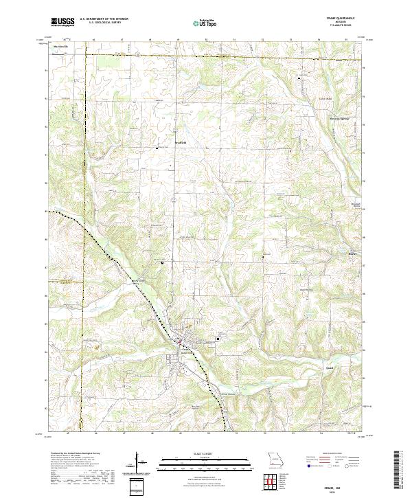 2021 Crane2021 Print · USGSStone County's rolling hills and spring-fed valleys are mapped here in the modern era, showing the enduring settlement patterns of the Ozarks. Researchers can locate family-named landmarks like McCullah Hollow and historic rural sites including Charity Cem and the Butterfield Trail Rd.
 - 2021 Map of Billings, 2021 Print
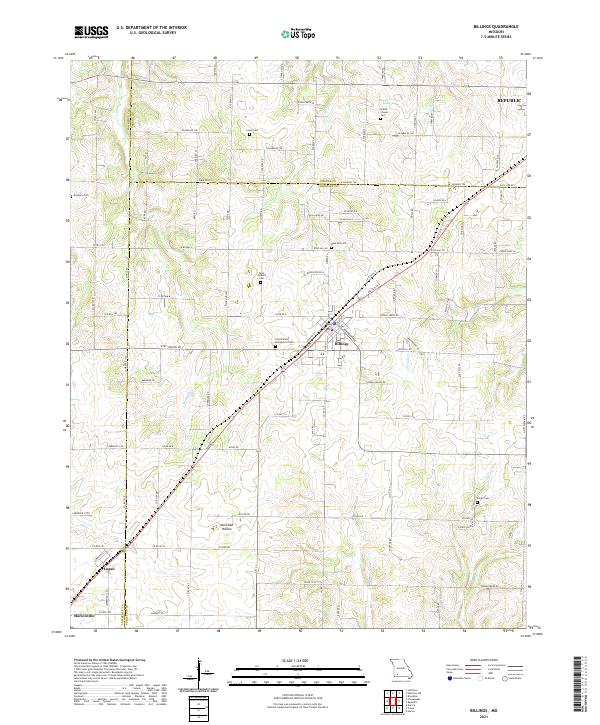 2021 Billings2021 Print · USGSThe rural landscapes of Christian, Greene, and Lawrence counties come together here during a period of steady growth. Genealogists can trace family connections through numerous local burial sites including Blades Chapel Cem, Laney Cem, and Saint Joseph's Cem.
 - 2021 Map of Chesapeake, 2021 Print
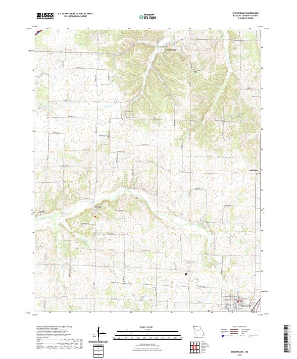 2021 Chesapeake2021 Print · USGSLawrence County, Missouri, is captured in the early 2020s, showing a landscape defined by traditional rural settlements and quiet agricultural roads. Genealogists can trace family heritage through burial grounds like Woodland Cem and Grammer Cem or follow the waters of Honey Cr.
End of results
Showing maps 1-16 of 16
Top cities near Marionville
- Springfield historical maps
- Republic historical maps
- Aurora historical maps
- Mount Vernon historical maps
- Crane historical maps
- Clever historical maps
See more
Frequently asked questions
- What are the different types of historical maps available for Marionville?
- What is the oldest map of Marionville?
- Where can I purchase historical maps of Marionville for my home or office?
- Where can I download high-res historical maps of Marionville?
- Are there historical topographic maps available for Marionville?
- Is there historical aerial imagery available for Marionville?
- Where are historical maps of Marionville sourced from?