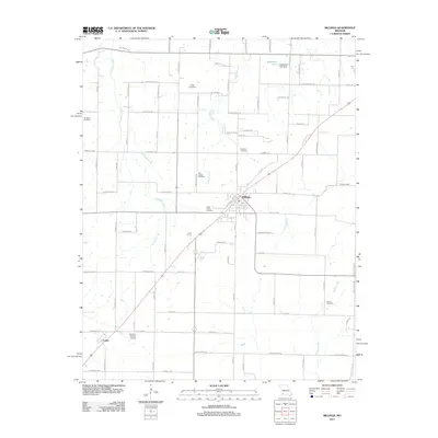
2011 Map of Billings
USGS Topo · Published 2011About this map
Billings serves as the central hub of this Missouri landscape, where the local street grid intersects with a prominent rail line and highway system. The town's surrounding rural character is defined by a dense network of farm roads and several significant burial sites, including Saint Joseph Cemetery, Saint Peters Cemetery, and Rose Hill Cemetery. To the southwest, the smaller community of Logan sits near the Herndon Orchard Airport, marking a distinct pocket of development at the edge of the survey area.
Find a feature on this map
85 named features on this map. Tap any name to fly to it.
Don’t see what you’re looking for? This feature index may not catch every label — zoom into the map to look around manually.
Map Details
Editions of this 2011 Billings Map
This is the sole edition of this map. No revisions or reprints were ever made.
Other maps of this area

1884 · Springfield
USGS Topo · 1:125,000

1886 · Greenfield
USGS Topo · 1:125,000

1886 · Springfield
USGS Topo · 1:125,000

1888 · Greenfield
USGS Topo · 1:125,000

1907 · Forsyth
USGS Topo · 1:125,000

1919 · Halltown
USGS Topo · 1:62,500

1936 · Brookline
USGS Topo · 1:24,000

1942 · Aurora
USGS Topo · 1:62,500

1945 · Harrison
USGS Topo · 1:250,000

1945 · Aurora
USGS Topo · 1:62,500