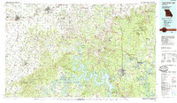
Old Maps of Marionville, Missouri for Metal Detecting
Plan your next treasure hunt with 36 historic maps of Marionville. Find old homesites, ghost towns, trails, and gathering spots that may be lost to time — perfect for identifying promising metal detecting locations.
- Locate forgotten sites: Uncover places like long-lost settlements, abandoned rail lines, or gathering spots.
- Plan better hunts: Use map overlays combined with LiDAR or satellite views to narrow in on historically rich areas.
- Made for detectorists: Thousands of hobbyists use these maps to discover relics, coins, and hidden history.
Use these historic maps to boost your research and find new opportunities beneath the surface of Marionville.
Marionville, MO maps
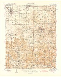
(36)- 1886 Map of Greenfield
 1886 Greenfield1886 Print · USGSSouthwest Missouri was undergoing a rail-driven transformation in the 1880s, as new lines connected established county seats to outlying farm towns. Genealogists can trace family roots through numerous small settlements like Paris Springs, Dadeville, and the thriving rail hub at Ash Grove.4 unique versions available
 - 1888 Map of Greenfield, 1898 Print
 1888 Greenfield1898 Print · USGSSouthwest Missouri thrived as a budding rail and agricultural hub in the 1880s. Local researchers can trace the early footprints of Greenfield and Mount Vernon, alongside smaller settlements like Paris Springs and Everton.
 - 1919 Map of Halltown
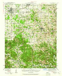
 1919 Halltown1919 Print · USGSThe Missouri Ozarks are captured here during a time of dense rural settlement across Lawrence and Greene counties. Genealogists can locate dozens of country schools and churches, from Buck Prairie School to Mt Olive Church and Wade Chapel Cemetery.3 unique versions available
 - 1942 Map of Aurora, 1961 Print
 1942 Aurora1961 Print · USGSThe northern Ozarks come to life in this mid-century survey of the rugged borderlands where three counties meet. Researchers can trace the path of the Missouri Pacific railroad through Aurora or locate family roots at rural landmarks like Charity Cem and Mountain Home Sch.2 unique versions available
 - 1945 Map of Harrison
 1945 Harrison1945 Print · USGSThe Ozark and Boston Mountains straddle the Missouri-Arkansas border during the mid-forties, showing a landscape of forest ridges and river valleys. Genealogists and historians can trace rail-connected towns like Monett and West Plains or early lake developments at Bull Shoals Res and Norfork Lake.
 - 1945 Map of Aurora
 1945 Aurora1945 Print · USGSThe Ozark plateau around Aurora and Crane is captured here during the mid-forties, showing a landscape defined by rail junctions and rural school districts. Researchers can trace ancestral locations like Stubblefield Cem, the Clay Hill Ch, and old springs including Bean Factory Spr.2 unique versions available
 - 1949 Map of Harrison
 1949 Harrison1949 Print · USGSThe Ozark highlands of northern Arkansas and southern Missouri are shown just after the war, when the White River still followed its original course. Genealogists and historians can trace rail lines like the Missouri & Arkansas RR and locate rural hubs like Harrison, Eureka Springs, and Mountain Home.
 - 1954 Map of Harrison
 1954 Harrison1954 Print · USGSThe Ozarks and Boston Mountains meet during a period of massive river engineering in the mid-fifties. Researchers can trace the early shorelines of Bull Shoals Lake and Table Rock Reservoir or locate inland towns like Berryville and Harrison.
 - 1954 Map of Springfield
 1954 Springfield1954 Print · USGSThe Missouri Ozarks are captured here during the post-war era, showing the expansion of Springfield and the surrounding river valleys. Genealogists and historians can trace local landmarks like Mount Comfort Cemetery and the Fort Leonard Wood military grounds.6 unique versions available
 - 1958 Map of Springfield
 1958 Springfield1958 Print · USGSThe Missouri Ozarks are captured during the mid-century era of growth, centered on the bustling hub of Springfield. Genealogists and historians can trace family roots through numerous landmarks like Ebenezer Church, Stockton Cem, and the various county courthouses.
 - 1958 Map of Harrison, 1973 Print
 1958 Harrison1973 Print · USGSThe Ozark and Boston Mountains appear in this mid-century survey as the great White River impoundments were reshaping the region. Researchers can trace the rail lines of the St Louis-San Francisco Ry and locate early settlements like Berryville and Gainesville.
 - 1959 Map of Springfield
 1959 Springfield1959 Print · USGSThe Missouri Ozarks are captured here during a decade of postwar growth and increasing highway connectivity. Researchers can trace the legacy of the St Louis-San Francisco RR and locate early sites in Springfield, Lebanon, and Mountain Grove.
 - 1964 Map of Harrison
 1964 Harrison1964 Print · USGSThe Ozark and Boston Mountains of Arkansas and Missouri are captured here in the mid-sixties, showing the rugged highlands before extensive modern development. Genealogists and historians can trace family-named peaks like Gaither Mountain and follow the St Louis-San Francisco RR through Monett and Purdy.
 - 1969 Map of Chesapeake, 1971 Print
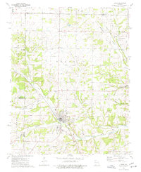
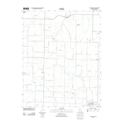
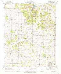 1969 Chesapeake1971 Print · USGSLawrence County farming and rail life are captured here in the late sixties, centered on the community of Marionville. Genealogists can trace family roots through several rural landmarks, from McNatt Chapel and Dover Ch to the Grammer Cem.2 unique versions available
 - 1969 Map of Billings, 1971 Print
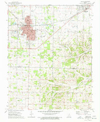
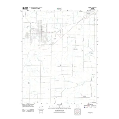
 1969 Billings1971 Print · USGSThe Missouri prairie south of Springfield is captured here in the late sixties, centered on the rail junction at Billings. Genealogists and local historians can locate several rural burial grounds and churches, including St Peters Cem, Smart Cem, and Blades Chapel.2 unique versions available
 - 1974 Map of Crane, 1977 Print
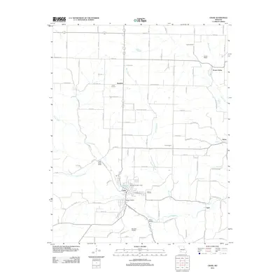
 1974 Crane1977 Print · USGSStone County and the settlement of Crane are documented here in the mid-seventies, showing a landscape defined by railroad corridors and spring-fed hollows. Family historians can locate several local burial grounds and churches, including the Masonic Cem, Hood Cem, and Shiloh Ch.
 - 1974 Map of Aurora, 1977 Print
 1974 Aurora1977 Print · USGSAurora and the surrounding Ozark foothills are captured here in the mid-1970s, showcasing the region's transition from prairie to plateau. Researchers can trace historic family landmarks such as Buck Prairie Cem, Wise Spring, and the rural community of Revisville.
 - 1982 Map of Springfield, 1983 Print
 1982 Springfield1983 Print · USGSSpringfield and the surrounding Ozark plateau are captured in the early eighties as the region balanced urban growth with its agricultural roots. Genealogists and researchers can trace the locations of White Chapel, the State Sanatorium, and older rail stops like Brookline.
 - 1985 Map of Table Rock Lake
 1985 Table Rock Lake1985 Print · USGSSouthwest Missouri in the mid-1980s shows a landscape transformed by the waters of the White River and its reservoirs. Genealogists and local historians can trace the intricate shorelines of Table Rock Lake, locate rural crossroads like Jenkins and Madry, and explore the grounds of Roaring River State Park.
 - 1985 Map of Harrison
 1985 Harrison1985 Print · USGSThe Ozark highlands and the White River valley are seen here in the mid-1980s, showcasing a region defined by its massive reservoirs and protected wilderness. You can trace the rugged corridors of the Missouri & North Arkansas RR or locate historic settlements like Eureka Springs and Jasper.
 - 2011 Map of Billings, 2011 Print
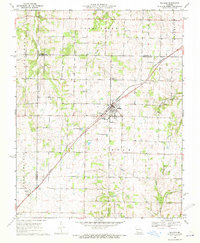
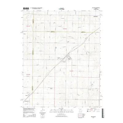
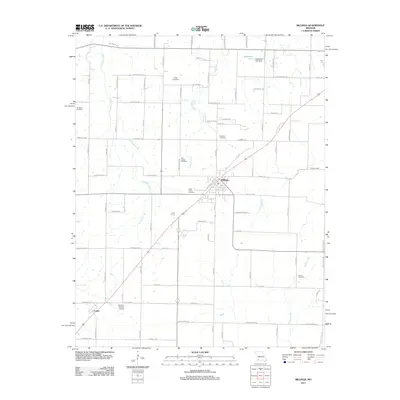 2011 Billings2011 Print · USGSCovers Marionville, including Republic, Clever, and other nearby areas
 - 2011 Map of Chesapeake, 2011 Print
 2011 Chesapeake2011 Print · USGSCovers Marionville, including Chesapeake, Elliott, and other nearby areas
 - 2012 Map of Aurora, 2012 Print
 2012 Aurora2012 Print · USGSCovers Marionville, including Aurora, Bonham, and other nearby areas
 - 2012 Map of Crane, 2012 Print
 2012 Crane2012 Print · USGSCovers Marionville, including Crane, Hurley, and other nearby areas
 - 2015 Map of Billings, 2015 Print
 2015 Billings2015 Print · USGSCovers Marionville, including Republic, Clever, and other nearby areas
Showing maps 1-25 of 36
Top cities near Marionville
- Springfield historical maps
- Republic historical maps
- Aurora historical maps
- Mount Vernon historical maps
- Crane historical maps
- Clever historical maps
See more
Frequently asked questions
- What are the different types of historical maps available for Marionville?
- What is the oldest map of Marionville?
- Where can I purchase historical maps of Marionville for my home or office?
- Where can I download high-res historical maps of Marionville?
- Are there historical topographic maps available for Marionville?
- Is there historical aerial imagery available for Marionville?
- Where are historical maps of Marionville sourced from?