Old Maps of Mackville, Missouri for Academic Research
Study the evolution of Mackville with 11 high-resolution historic maps. Whether you're teaching, researching, or modeling changes in land use, these maps provide essential visual documentation of urban, environmental, and geographic change.
- Analyze long-term change: Track patterns in development, transportation, and natural features.
- Ideal for environmental or urban studies: Support academic projects with primary historical map data.
- Use in the classroom or lab: Educators and researchers rely on these maps to bring historical context to life.
These maps are a powerful tool for teaching, research, and visualizing how Mackville has changed over the decades.
Mackville, MO maps
(11)- 1890 Map of Louisiana
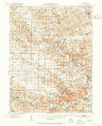
 1890 Louisiana1890 Print · USGSUpper Missouri and Illinois river country in the 1890s is captured here at the height of the steam-rail era. Genealogists can trace family roots through old rural outposts like New Harmony, Prairieville, and the transit hub at Bowling Green.5 unique versions available
 - 1937 Map of Silex, 1955 Print
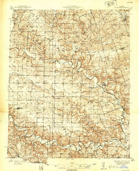
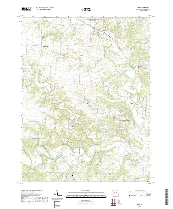
 1937 Silex1955 Print · USGSLincoln and Pike counties are shown here in the mid-1930s, when the agricultural economy was centered on the banks of the Cuivre River. Genealogists and local historians can trace rural school districts and old fords, such as Abe Duff Sch, Silex, and Richardson Mill Ford.
 - 1939 Map of Silex
 1939 Silex1939 Print · USGSLincoln and Pike Counties are shown in the late 1930s, featuring a landscape defined by the winding Cuivre River and its many forks. Researchers can trace rural life through dozens of local landmarks like Forest Cem Sch, Fairview Ch, and the St Louis and Hannibal RR.
 - 1948 Map of Quincy
 1948 Quincy1948 Print · USGSThe Mississippi and Illinois River valleys are captured at a post-war crossroads as rail and river travel met the expanding highway system. Genealogists can trace family settlements from Quincy to Hannibal and smaller towns like Vandalia and Jerseyville.2 unique versions available
 - 1956 Map of Quincy, 1967 Print
 1956 Quincy1967 Print · USGSThe river and rail corridors of the Illinois-Missouri border are documented here during the mid-1950s. Researchers can trace historic river landings and regional transit hubs from Quincy and Hannibal to smaller settlements like Meredosia and Roodhouse.3 unique versions available
 - 1975 Map of Silex, 1977 Print
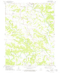 1975 Silex1977 Print · USGSLincoln County farmland and river bottoms are captured here in the mid-seventies, showing the intersection of several rural townships. Genealogists can trace numerous burial sites like Sitton Cem and St Marys Cem or locate the Old Railroad Grade and Stepanek Crossing.2 unique versions available
 - 1986 Map of Mexico
 1986 Mexico1986 Print · USGSEast Central Missouri in the mid-eighties shows a landscape of steady agricultural towns and the expansive waters of Mark Twain Lake. Genealogists and historians can trace rail-side communities like Laddonia and Wellsville or locate family markers at Elwood Cem.2 unique versions available
 - 2012 Map of Silex, 2012 Print
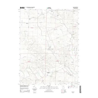
 2012 Silex2012 Print · USGSCovers Mackville, including Silex, Cave, and other nearby areas
 - 2015 Map of Silex, 2015 Print
 2015 Silex2015 Print · USGSCovers Mackville, including Silex, Cave, and other nearby areas
 - 2017 Map of Silex, 2017 Print
 2017 Silex2017 Print · USGSCovers Mackville, including Silex, Cave, and other nearby areas
 - 2021 Map of Silex, 2021 Print
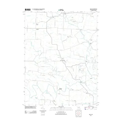
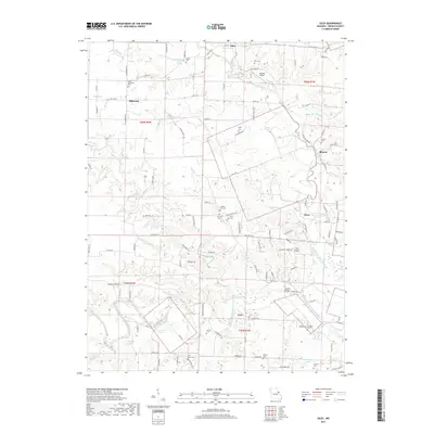
 2021 Silex2021 Print · USGSLincoln County centers on the convergence of the Cuivre River forks in the early 2020s. Researchers can locate numerous historic burial sites like Saint Marys Cem and Sitton Cem, or trace the rural roads connecting Silex and Millwood.
End of results
Showing maps 1-11 of 11
Top cities near Mackville
- Wentzville historical maps
- Troy historical maps
- Warrenton historical maps
- Wright City historical maps
- Moscow Mills historical maps
- Jonesburg historical maps
See more
Frequently asked questions
- What are the different types of historical maps available for Mackville?
- What is the oldest map of Mackville?
- Where can I purchase historical maps of Mackville for my home or office?
- Where can I download high-res historical maps of Mackville?
- Are there historical topographic maps available for Mackville?
- Is there historical aerial imagery available for Mackville?
- Where are historical maps of Mackville sourced from?