Old Maps of Fountain Grove, Missouri for Academic Research
Study the evolution of Fountain Grove with 12 high-resolution historic maps. Whether you're teaching, researching, or modeling changes in land use, these maps provide essential visual documentation of urban, environmental, and geographic change.
- Analyze long-term change: Track patterns in development, transportation, and natural features.
- Ideal for environmental or urban studies: Support academic projects with primary historical map data.
- Use in the classroom or lab: Educators and researchers rely on these maps to bring historical context to life.
These maps are a powerful tool for teaching, research, and visualizing how Fountain Grove has changed over the decades.
Fountain Grove, MO maps
(12)- 1924 Map of Hale
 1924 Hale1924 Print · USGSThe Grand River valley in the early 1920s reveals a landscape of winding waterways and rail-connected settlements at the borders of Livingston and Carroll counties. Genealogists can locate numerous country schools like Lowland School and Morgan School, or trace family roots near Grace Church and Avalon.4 unique versions available
 - 1951 Map of Hale, 1952 Print
 1951 Hale1952 Print · USGSNorth-central Missouri's river lowlands are captured here in the early fifties, showing the area around Hale and the Grand River floodplain. Researchers can trace defunct rural infrastructure like Hazel Green Sch and the Sumner Bridge crossing.3 unique versions available
 - 1953 Map of Moberly
 1953 Moberly1953 Print · USGSMid-century north-central Missouri is documented here as a bustling intersection of river commerce and heavy rail. Researchers can trace historic family-named landmarks and transport hubs from the Missouri River corridor to the rail yards of Moberly, Chillicothe, and Macon.
 - 1954 Map of Moberly, 1969 Print
 1954 Moberly1969 Print · USGSMid-century Missouri is captured here during a period of transition for its river towns and rail hubs. Genealogists and historians can trace the paths of the Wabash railroad through Moberly or explore the riverside layout of Lexington and Brunswick.3 unique versions available
 - 1957 Map of Moberly
 1957 Moberly1957 Print · USGSNorth-central Missouri in the late nineteen-forties and fifties remains a landscape defined by its great rivers and a dense network of steam and diesel rail lines. Genealogists and historians can trace the paths of the Wabash RR and Santa Fe RR through historic junctions like Moberly, Brookfield, and Macon.
 - 1960 Map of Moberly
 1960 Moberly1960 Print · USGSCentral Missouri comes alive in the mid-twentieth century as a bustling network of river towns and significant rail corridors. Genealogists and historians can trace the paths of the Wabash RR through Moberly or explore the riverfronts of Lexington and Brunswick.
 - 1981 Map of Chillicothe
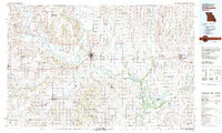 1981 Chillicothe1981 Print · USGSNorth Missouri's Grand River basin comes into focus during the early 1980s, showcasing a network of vital rail lines and river settlements. Genealogists and historians can trace rail-town development from Gallatin to Brookfield and explore extensive conservation lands like Swan Lake National Wildlife Refuge.
 - 1984 Map of Fountain Grove, 1985 Print
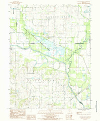 1984 Fountain Grove1985 Print · USGSThe river bottoms of Livingston and Linn counties are captured here in the mid-1980s, showcasing a landscape shaped by water and rail. Genealogists and local historians can trace the paths of the Norfolk and Western railroad and locate rural settlements like Bedford and Towstring.
 - 2012 Map of Fountain Grove, 2012 Print
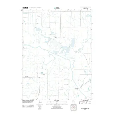 2012 Fountain Grove2012 Print · USGSThe Grand River valley in Linn County is captured here in the early 21st century, showing a landscape shaped by river bends and rural settlements. Researchers can locate the Bedford Post Office, trace family roots at Fairland Cemetery, or explore the wetlands of Pershing State Park.
 - 2015 Map of Fountain Grove, 2015 Print
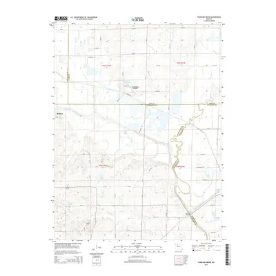 2015 Fountain Grove2015 Print · USGSThe river bottoms of northern Missouri are mapped here during the mid-2010s, where the Grand River meets Locust Creek. Researchers can locate Fairland Cemetery, the settlement of Bedford, and numerous water features like Eagle Lake and Hughs Lake.
 - 2017 Map of Fountain Grove, 2017 Print
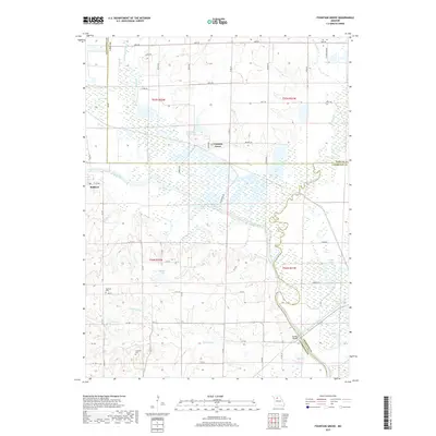 2017 Fountain Grove2017 Print · USGSMissouri's river bottomlands at the tri-county junction of Linn, Livingston, and Chariton are shown in great detail here. Local researchers can trace the course of the Grand River and Locust Creek, locating the Fairland Cem and the rail line at Norfolk.
 - 2021 Map of Fountain Grove, 2021 Print
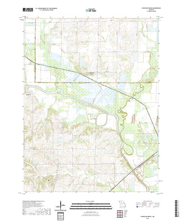 2021 Fountain Grove2021 Print · USGSThe Grand River floodplain south of Fountain Grove is captured here at a time when managed wetlands and rail lines defined the rural landscape. Genealogists can locate Fairland Cemetery and Cameron Cemetery or trace the river's path past Eagle Lake.
End of results
Showing maps 1-12 of 12
Top cities near Fountain Grove
- Chillicothe historical maps
- Brookfield historical maps
- Hale historical maps
- Meadville historical maps
- Laclede historical maps
- Linneus historical maps
See more
Frequently asked questions
- What are the different types of historical maps available for Fountain Grove?
- What is the oldest map of Fountain Grove?
- Where can I purchase historical maps of Fountain Grove for my home or office?
- Where can I download high-res historical maps of Fountain Grove?
- Are there historical topographic maps available for Fountain Grove?
- Is there historical aerial imagery available for Fountain Grove?
- Where are historical maps of Fountain Grove sourced from?