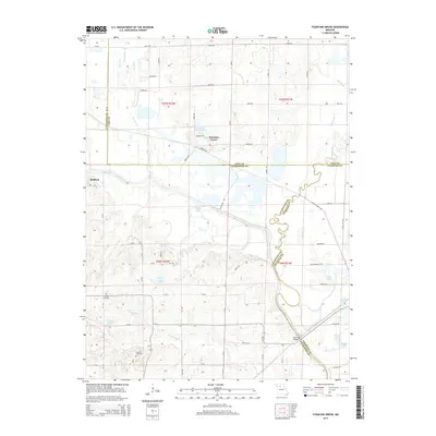
2015 Map of Fountain Grove
USGS Topo · Published 2015About this map
Fountain Grove and the surrounding river bottoms define this section of the Missouri landscape at the convergence of Linn, Livingston, and Chariton counties. The meandering Grand River and its intricate network of tributaries, including Locust Creek and Towstring Cr, dominate the central and southern portions of the map. This area is characterized by a complex system of wetlands and lakes, such as Eagle Lake and Fountain Grove Lake, indicating a region heavily influenced by seasonal flooding and wildlife management.
Find a feature on this map
47 named features on this map. Tap any name to fly to it.
Don’t see what you’re looking for? This feature index may not catch every label — zoom into the map to look around manually.
Map Details
Editions of this 2015 Fountain Grove Map
This is the sole edition of this map. No revisions or reprints were ever made.
Other maps of this area

1924 · Chula
USGS Topo · 1:62,500

1924 · Hale
USGS Topo · 1:62,500

1946 · Brookfield
USGS Topo · 1:62,500

1947 · Chula
USGS Topo · 1:62,500

1948 · Brookfield
USGS Topo · 1:62,500

1949 · Mendon
USGS Topo · 1:24,000

1949 · Sumner
USGS Topo · 1:24,000

1950 · Sumner
USGS Topo · 1:24,000

1950 · Hale
USGS Topo · 1:24,000

1951 · Hale
USGS Topo · 1:24,000