Old Maps of New Cambria, Missouri for Academic Research
Study the evolution of New Cambria with 17 high-resolution historic maps. Whether you're teaching, researching, or modeling changes in land use, these maps provide essential visual documentation of urban, environmental, and geographic change.
- Analyze long-term change: Track patterns in development, transportation, and natural features.
- Ideal for environmental or urban studies: Support academic projects with primary historical map data.
- Use in the classroom or lab: Educators and researchers rely on these maps to bring historical context to life.
These maps are a powerful tool for teaching, research, and visualizing how New Cambria has changed over the decades.
New Cambria, MO maps
(17)- 1937 Map of Elmer
 1937 Elmer1937 Print · USGSMacon County's rural heartland is meticulously documented in the late 1930s, showing a landscape defined by the winding Chariton River and its multiple rail lines. Genealogists can locate dozens of country schools and churches like Hopewell Sch & Ch or trace family plots at Shirley Cem and Sibel Cem.
 - 1942 Map of Elmer
 1942 Elmer1942 Print · USGSMacon County in the late thirties and early forties was a landscape of rail-connected towns and rural township schools. Researchers can trace family roots through numerous burial grounds like Shirley Cem or locate former community hubs such as Milam Chapel, Bloomington, and Kern Sch.3 unique versions available
 - 1950 Map of New Cambria West
 1950 New Cambria West1950 Print · USGSNorthwestern Macon County was a landscape of small schools and dual rail lines at mid-century. Genealogists can trace family footprints across several rural burial grounds and school districts, including St Mary Cem, Jobson Sch, and the community of Lingo.2 unique versions available
 - 1953 Map of Moberly
 1953 Moberly1953 Print · USGSMid-century north-central Missouri is documented here as a bustling intersection of river commerce and heavy rail. Researchers can trace historic family-named landmarks and transport hubs from the Missouri River corridor to the rail yards of Moberly, Chillicothe, and Macon.
 - 1954 Map of Moberly, 1969 Print
 1954 Moberly1969 Print · USGSMid-century Missouri is captured here during a period of transition for its river towns and rail hubs. Genealogists and historians can trace the paths of the Wabash railroad through Moberly or explore the riverside layout of Lexington and Brunswick.3 unique versions available
 - 1957 Map of Moberly
 1957 Moberly1957 Print · USGSNorth-central Missouri in the late nineteen-forties and fifties remains a landscape defined by its great rivers and a dense network of steam and diesel rail lines. Genealogists and historians can trace the paths of the Wabash RR and Santa Fe RR through historic junctions like Moberly, Brookfield, and Macon.
 - 1960 Map of Moberly
 1960 Moberly1960 Print · USGSCentral Missouri comes alive in the mid-twentieth century as a bustling network of river towns and significant rail corridors. Genealogists and historians can trace the paths of the Wabash RR through Moberly or explore the riverfronts of Lexington and Brunswick.
 - 1979 Map of New Cambria East
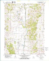 1979 New Cambria East1979 Print · USGSMacon County in the late seventies is marked by the transformation of the Chariton River and its floodplains. Researchers can find old rural landmarks like Chariton Ch, Mt Zion Cem, and the path of the Burlington Northern railroad through Callao.
 - 1981 Map of Macon
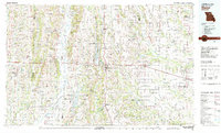 1981 Macon1981 Print · USGSNorthern Missouri's rail-and-river landscape is captured here in the early eighties, centered on the crossroads of Macon. Researchers can trace old cemetery sites like St Marys Cem, local landmarks such as College Mound, and the routes of the Burlington Northern railroad.
 - 2012 Map of New Cambria East, 2012 Print
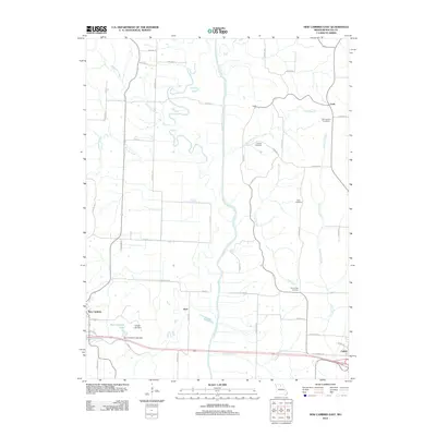 2012 New Cambria East2012 Print · USGSMacon County in the early twenty-first century reveals a landscape defined by the winding Chariton River and scattered rural hamlets. Genealogists and local historians can locate several family and community burial sites, including Old Chariton Cemetery and Rose Cemetery, alongside the small settlements of Callao and Kern.
 - 2012 Map of New Cambria West, 2012 Print
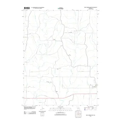 2012 New Cambria West2012 Print · USGSMissouri's rural Linn County landscape is captured here in the early twenty-first century as agricultural life centered around small hubs. Researchers can trace family sites at Saint Mary Cemetery, Tuttle Cemetery, or the older settlements of Lingo and Hart.
 - 2014 Map of New Cambria East, 2014 Print
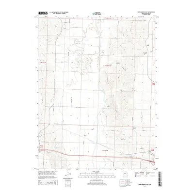 2014 New Cambria East2014 Print · USGSMacon County's rural landscape is captured here in the mid-2010s, centered on the winding Chariton River valley. Genealogists can locate several historic burial sites, including Old Chariton Cemetery and Locust Grove Cemetery.
 - 2014 Map of New Cambria West, 2014 Print
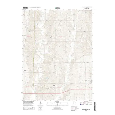 2014 New Cambria West2014 Print · USGSThe rural border of Linn and Macon counties is shown in great detail during the early 2010s. Genealogists and historians can locate family burial sites at Saint Mary Cemetery and Dowell Cemetery or trace the winding course of Mussel Fork.
 - 2017 Map of New Cambria East, 2017 Print
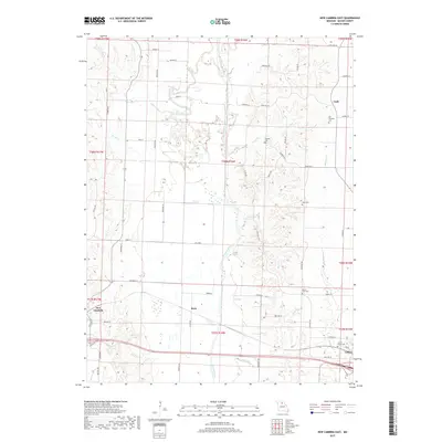 2017 New Cambria East2017 Print · USGSCallao and New Cambria appear during the late twenty-teens in this detailed view of the Chariton River valley. Researchers can trace family history through several local landmarks including Locust Grove Cem, Old Chariton Cem, and the settlement at Kern.
 - 2017 Map of New Cambria West, 2017 Print
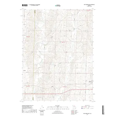 2017 New Cambria West2017 Print · USGSLinn and Macon Counties are captured here in the late twenty-teens, showing a landscape of established rural settlements and winding creek bottoms. Researchers can locate family heritage sites like Saint Mary Cem and trace the paths of Mussel Fork through Lingo and Bucklin.
 - 2021 Map of New Cambria West, 2021 Print
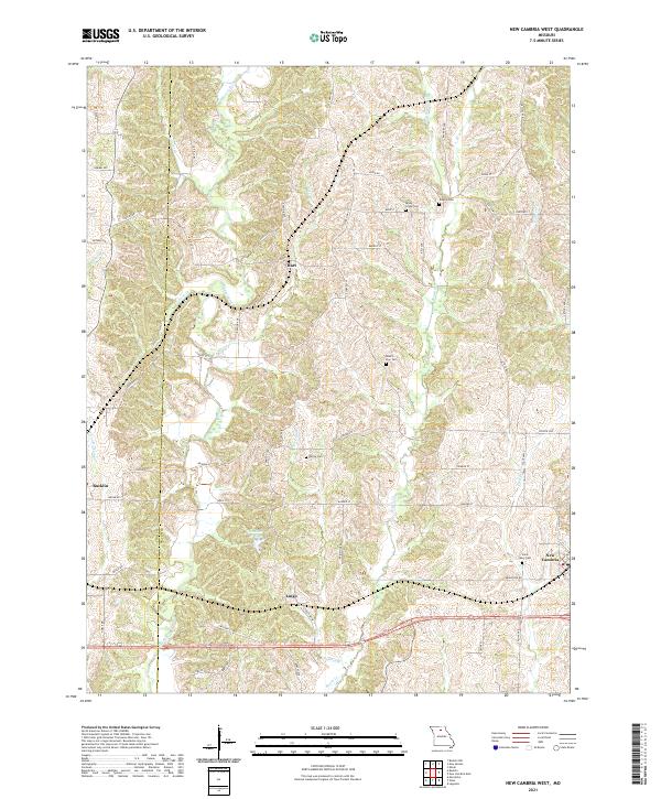 2021 New Cambria West2021 Print · USGSThe rural borderlands of Linn and Macon counties are captured here in the early twenty-first century, centered on the Mussel Fork drainage. Researchers can locate several historical cemeteries like Dowell Cem and trace the small communities of Hart and Lingo.
 - 2021 Map of New Cambria East, 2021 Print
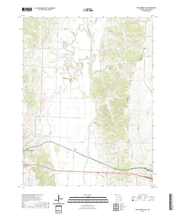 2021 New Cambria East2021 Print · USGSMacon County's rural townships and the winding Chariton River valley are shown here in the early 2020s. Genealogists can trace family heritage across several landmark burial grounds, including Old Chariton Cem, Locust Grove Cem, and Rose Cem.
End of results
Showing maps 1-17 of 17
Top cities near New Cambria
- Marceline historical maps
- Bevier historical maps
- Bucklin historical maps
- Callao historical maps
- Ethel historical maps
- Elmer historical maps
Frequently asked questions
- What are the different types of historical maps available for New Cambria?
- What is the oldest map of New Cambria?
- Where can I purchase historical maps of New Cambria for my home or office?
- Where can I download high-res historical maps of New Cambria?
- Are there historical topographic maps available for New Cambria?
- Is there historical aerial imagery available for New Cambria?
- Where are historical maps of New Cambria sourced from?