2020s Maps of Marion County, Missouri
Explore 16 historic maps of Marion County from the 2020s. These maps offer a rare glimpse into what life looked like during the 2020s — showing old roads, neighborhoods, homes, and landmarks that have changed or disappeared over time.
Whether you're researching your family's past, planning a metal detecting trip, or studying how Marion County's landscape evolved across the 2020s, these high-resolution maps are a powerful tool for exploring the history of this region.
- Focus on a specific era: All maps on this page are from the 2020s, giving you a focused view of this time period.
- See what’s changed: Compare century-old streets, trails, and buildings to today's modern landscape using overlays and satellite layers.
- Research with precision: Use these maps for genealogy, historical research, land use analysis, or educational projects.
- View, download, or print: Maps are fully viewable online in high resolution, and can be downloaded or printed for your own records.
Start exploring Marion County's history through authentic maps from the 2020s. This is your window into the past.
Marion County, MO maps
(16)- 2021 Map of Quincy West, 2021 Print
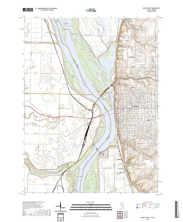
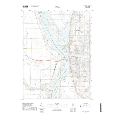 2021 Quincy West2021 Print · USGSCovers Marion County, including Quincy, North Quincy, and other nearby areas
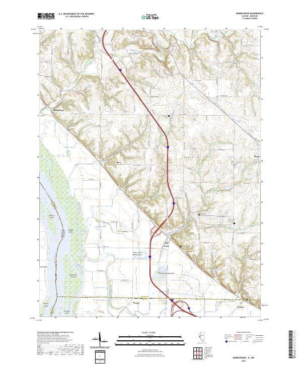
 - 2021 Map of Marblehead, 2021 Print
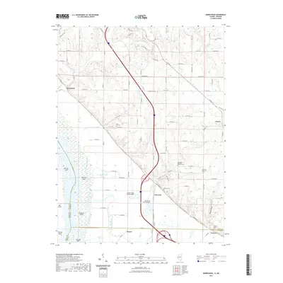 2021 Marblehead2021 Print · USGSCovers Marion County, including Payson, Fall Creek, and other nearby areas
 - 2021 Map of Palmyra, 2021 Print
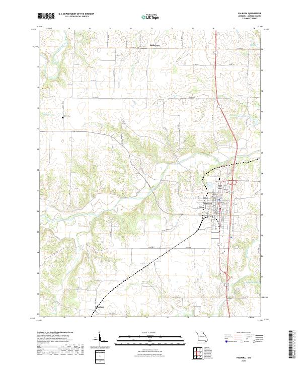 2021 Palmyra2021 Print · USGSMarion County at the dawn of the 2020s shows a landscape of established town centers and a complex network of prairie rivers. Researchers can trace the layout of Palmyra near the Marion County District Courthouse or locate rural sites like Smileyville and Bethel Cem.
 - 2021 Map of Rensselaer, 2021 Print
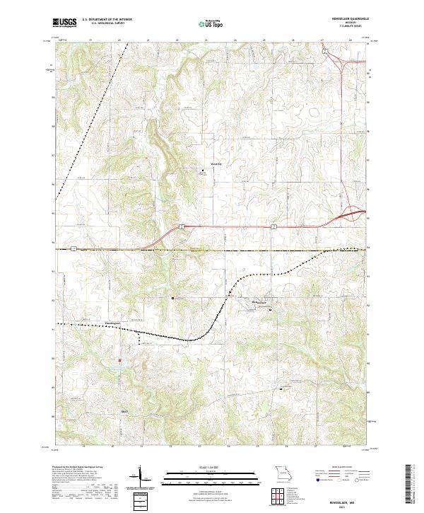 2021 Rensselaer2021 Print · USGSThe rural border of Marion and Ralls Counties comes into focus in this recent survey of Missouri's agricultural heartland. Researchers can trace the heritage of local settlements like West Ely and Rensselaer or locate family burial grounds including Finley Cem and Big Creek Cem.
 - 2021 Map of Durham, 2021 Print
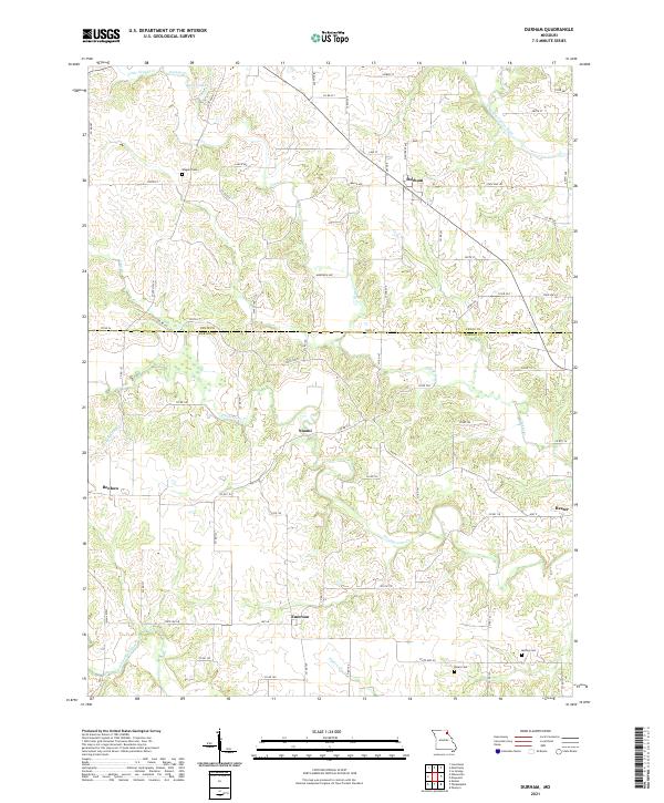 2021 Durham2021 Print · USGSThe Lewis and Marion county line divides this Missouri agricultural landscape in the early twenty-first century. Researchers can trace rural lineages through the locations of Wagner Cem, McPike Cem, and the crossroads settlements of Durham and Emerson.
 - 2021 Map of Emden, 2021 Print
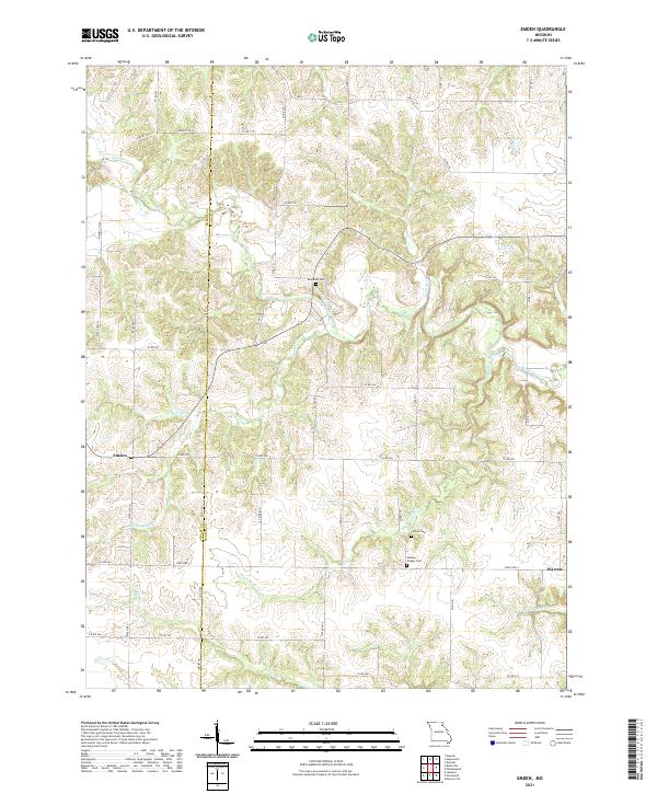 2021 Emden2021 Print · USGSNortheast Missouri agriculture and community life are well-documented here in the early twenty-first century. Genealogists can trace family footprints at Ebenezer Cem and Andrew Chapel Cem, or explore the rural hubs of Emden and Warren.
 - 2021 Map of Philadelphia, 2021 Print
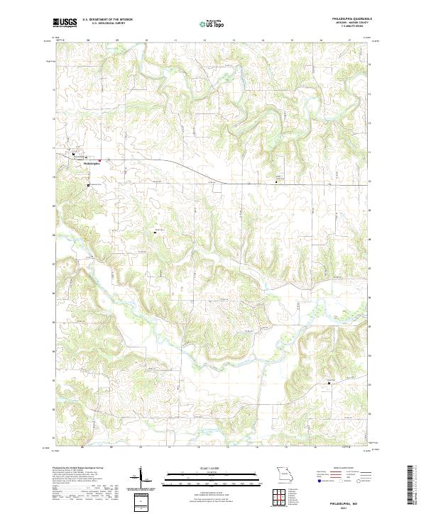 2021 Philadelphia2021 Print · USGSMarion County's rural landscape is captured here in the early twenty-first century, centered on the historic crossroads of Philadelphia. Genealogists and historians can trace local family landmarks through Little Union Cem, Terrill Cem, and the banks of the South Fabius River.
 - 2021 Map of Monroe City, 2021 Print
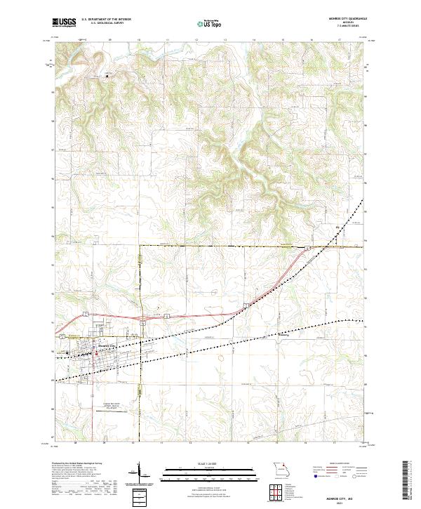 2021 Monroe City2021 Print · USGSMonroe City and its tri-county surroundings are mapped here during the early twenty-first century, showing the intersection of rural life and regional infrastructure. Genealogists and local historians can trace the town's detailed street grid and find landmarks like Saint Judes Cem, Cobb Cem, and the Captain Ben Smith Airfield.
 - 2021 Map of Nelsonville, 2021 Print
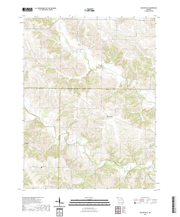 2021 Nelsonville2021 Print · USGSMarion and Shelby Counties are shown in the early twenty-first century as a quiet mosaic of river valleys and rural crossroads. Genealogists and historians can trace the local landscape through the Methodist Cem and landmarks like Haycraft Bridge and Nelsonville.
 - 2021 Map of Quincy SW, 2021 Print
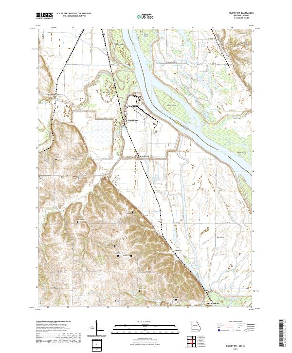 2021 Quincy SW2021 Print · USGSThe riverfront north of Hannibal is captured here during a modern era of detailed surveying, revealing the complex sloughs and islands of the Mississippi River. Genealogists can locate several family burial sites including Pennewell Cem and Kaiser Cem near settlements like Huiskamp and South River.
 - 2021 Map of Maywood, 2021 Print
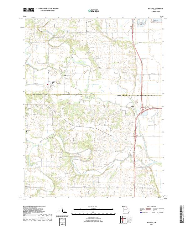 2021 Maywood2021 Print · USGSThe Lewis and Marion county border comes alive in this survey of the river valleys near the turn of the decade. Genealogists can locate family landmarks like Hebron Cemetery and Maywood Cemetery near the banks of the North Fabius River.
 - 2021 Map of Hunnewell, 2021 Print
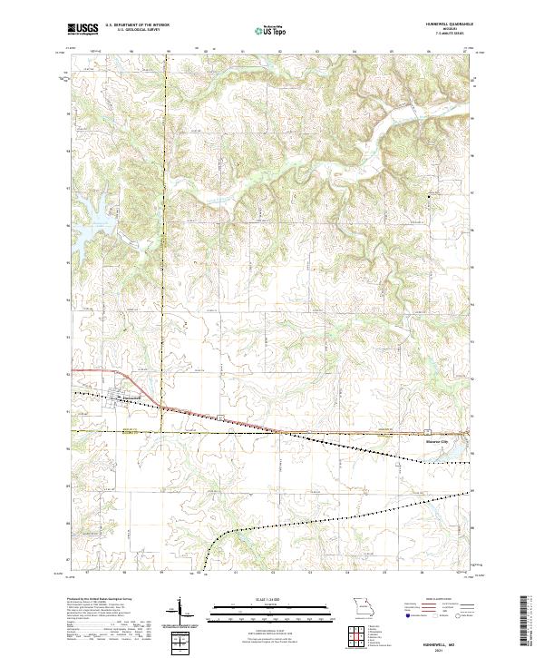 2021 Hunnewell2021 Print · USGSHunnewell and Monroe City anchor this rural landscape where three Missouri counties meet in the early twenty-first century. Genealogists and historians can trace local family landmarks like Howe Cem or explore the water systems of Hunnewell Lake and Indian Cr.
 - 2021 Map of Hannibal West, 2021 Print
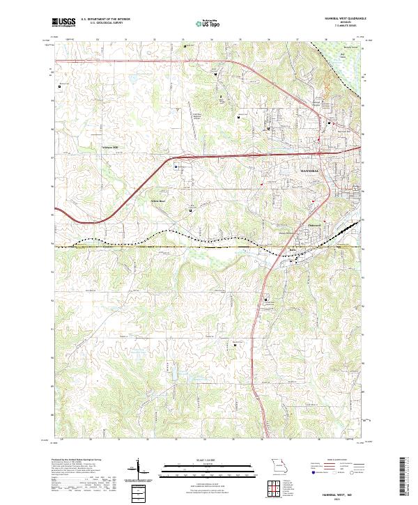 2021 Hannibal West2021 Print · USGSThe western fringes of Hannibal come into focus in the early 2020s, documenting the area's modern campus and airport infrastructure. Researchers can trace family history at Grand View Burial Park or locate the rural communities of Withers Mill and White Bear.
 - 2021 Map of Hannibal East, 2021 Print
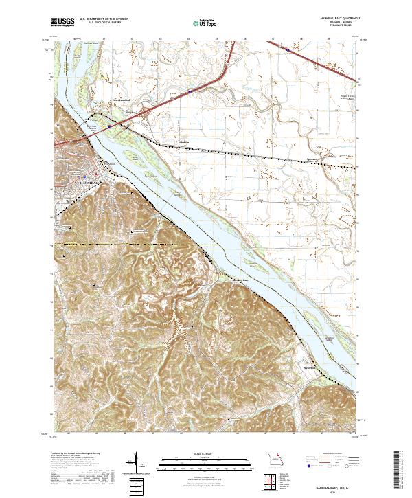 2021 Hannibal East2021 Print · USGSThe riverfront at Hannibal and the rugged bluffs of Ralls County are captured here in the early twenty-first century. Family historians can locate numerous burial grounds like Riverside Cem and Marble Creek Cem or trace the old river roads near Saverton.
 - 2024 Map of Marblehead, 2024 Print
 2024 Marblehead2024 Print · USGSThe eastern banks of the Mississippi River in Adams County are captured here in the early twenty-first century. Genealogists and historians can trace family roots at the Newmaw Family Cem or locate old community hubs like Bluff Hall-Gem and Fall Creek.
 - 2024 Map of Quincy West, 2024 Print
 2024 Quincy West2024 Print · USGSQuincy and the Mississippi River bluffs are documented here during the mid-2020s, showing the intersection of urban growth and river conservation. Researchers can locate civic landmarks like the Adams County Courthouse or trace historic burial grounds such as Woodland Cem and Sunset Veterans Cem.
End of results
Showing maps 1-16 of 16
Top cities of Marion County
Frequently asked questions
- What are the different types of historical maps available for Marion County?
- What is the oldest map of Marion County?
- Where can I purchase historical maps of Marion County for my home or office?
- Where can I download high-res historical maps of Marion County?
- Are there historical topographic maps available for Marion County?
- Is there historical aerial imagery available for Marion County?
- Where are historical maps of Marion County sourced from?