2010s Maps of Marion County, Missouri
Explore 42 historic maps of Marion County from the 2010s. These maps offer a rare glimpse into what life looked like during the 2010s — showing old roads, neighborhoods, homes, and landmarks that have changed or disappeared over time.
Whether you're researching your family's past, planning a metal detecting trip, or studying how Marion County's landscape evolved across the 2010s, these high-resolution maps are a powerful tool for exploring the history of this region.
- Focus on a specific era: All maps on this page are from the 2010s, giving you a focused view of this time period.
- See what’s changed: Compare century-old streets, trails, and buildings to today's modern landscape using overlays and satellite layers.
- Research with precision: Use these maps for genealogy, historical research, land use analysis, or educational projects.
- View, download, or print: Maps are fully viewable online in high resolution, and can be downloaded or printed for your own records.
Start exploring Marion County's history through authentic maps from the 2010s. This is your window into the past.
Marion County, MO maps
(42)- 2012 Map of Durham, 2012 Print
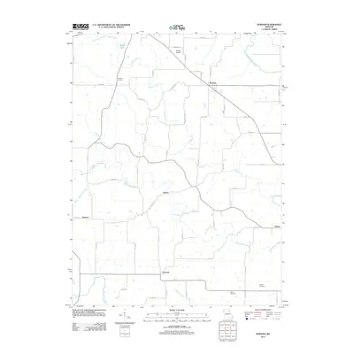 2012 Durham2012 Print · USGSMarion County's rural agricultural landscape is detailed here in the early twenty-first century, showing the enduring structure of its historic hamlets. Local historians can trace family roots through the Wagner Cemetery or explore small centers like Durham and Emerson.
 - 2012 Map of Emden, 2012 Print
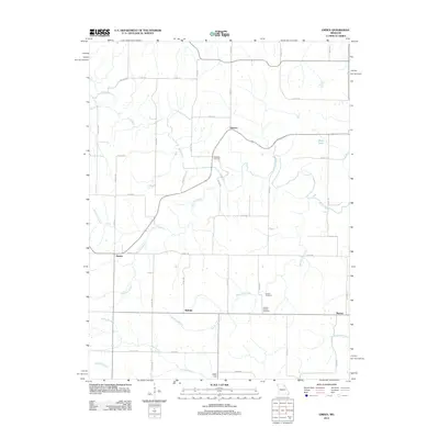 2012 Emden2012 Print · USGSMarion and Shelby counties are captured here in the early twenty-first century, showing a landscape of small agricultural settlements. Genealogists can locate family burial sites at Ebenezer Cemetery and Andrew Chapel Cemetery near Bellville.
 - 2012 Map of Monroe City, 2012 Print
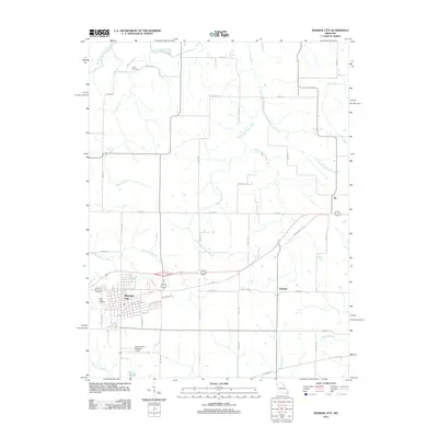 2012 Monroe City2012 Print · USGSMonroe City and its surrounding rural townships are shown here in the early twenty-first century, just as the local infrastructure was expanding. Genealogists and local historians can trace burial sites at Saint Judes Cemetery or locate the early rail-aligned settlements of Ely and Hassard.
 - 2012 Map of Philadelphia, 2012 Print
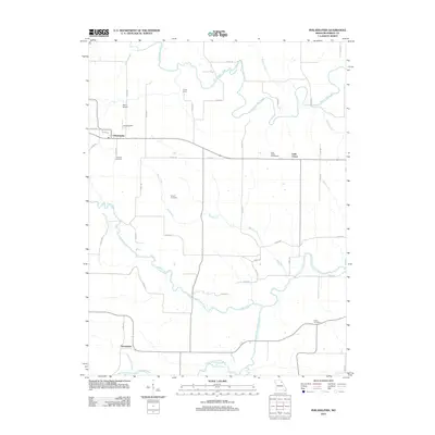 2012 Philadelphia2012 Print · USGSPhiladelphia and Little Union are shown in this rural Missouri landscape during the early 2010s. Genealogists can trace family names at Little Union Churchyard and Coleman Cemetery or locate landmarks like Bevill Airport.
 - 2012 Map of Palmyra, 2012 Print
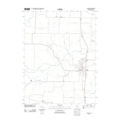 2012 Palmyra2012 Print · USGSMarion County's rural and town life are documented here in the early twenty-first century, centered on the historic streets of Palmyra. Researchers can trace old settlement sites like Slees Mills and Smileyville or locate family roots at Greenwood Cemetery.
 - 2012 Map of Rensselaer, 2012 Print
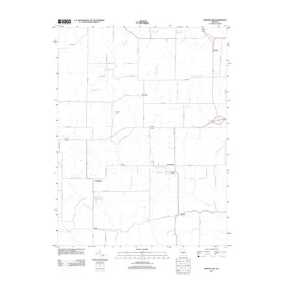 2012 Rensselaer2012 Print · USGSRensselaer and the surrounding Missouri countryside are captured here during a period of steady rural growth. Genealogists and local historians can trace the foundations of communities like Huntington, Barkley, and Sheil along the network of county roads.
 - 2012 Map of Hannibal West, 2012 Print
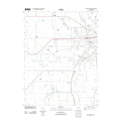 2012 Hannibal West2012 Print · USGSThe western edges of Hannibal and the surrounding Marion County countryside are documented here in the early twenty-first century. Researchers can locate numerous family and community sites like Withers Mill, White Bear, and the Grand View Burial Park.
 - 2012 Map of Nelsonville, 2012 Print
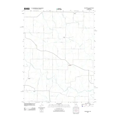 2012 Nelsonville2012 Print · USGSNelsonville and the surrounding Marion County farmland are captured here in the early twenty-first century. Researchers can locate family landmarks like the Methodist Cemetery or trace the winding courses of the South Fabius River and Troublesome Creek.
 - 2012 Map of Hunnewell, 2012 Print
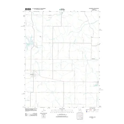 2012 Hunnewell2012 Print · USGSThe rural landscape around Hunnewell and Sharpsburg is captured here in the early twenty-first century. Genealogists and local historians can trace family land near How Cemetery or follow the waters of Indian Creek and Hunnewell Lake.
 - 2012 Map of Maywood, 2012 Print
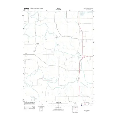 2012 Maywood2012 Print · USGSThe rural river valleys of northeast Missouri are captured here in the early twenty-first century, just as they meander toward the Mississippi. Genealogists and local historians can trace the positions of Maywood Cemetery, Hebron Cemetery, and Liberty Cemetery among the winding forks of the North Fabius River.
 - 2012 Map of Quincy SW, 2012 Print
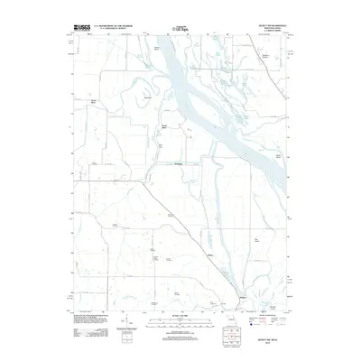 2012 Quincy SW2012 Print · USGSThe Mississippi River bottomlands north of Hannibal appear here during the early twenty-first century, showing a landscape of complex waterways and levees. Genealogists can locate several family burial grounds, including Thrasher Chapel Cemetery, Gottman Cemetery, and Pennewell Cemetery.
 - 2012 Map of Hannibal East, 2012 Print
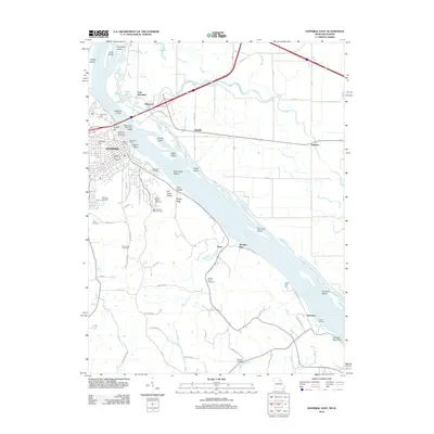 2012 Hannibal East2012 Print · USGSHannibal's riverfront and its Illinois neighbors are captured here during the early twenty-first century, showing the enduring infrastructure of the Mississippi. Trace family histories through Mount Olivet Cemetery or locate river landmarks like the Centennial Memorial Lighthouse and Gilbert Landing.
 - 2012 Map of Quincy West, 2012 Print
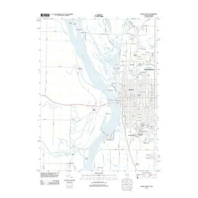 2012 Quincy West2012 Print · USGSThe riverfront of Quincy and its Missouri neighbors are documented here in the early twenty-first century as the city expands across the bluffs. Researchers can trace family history at Woodland Cem or locate river landmarks like Bullians Landing and Lock and Dam No 21.
 - 2012 Map of Marblehead, 2012 Print
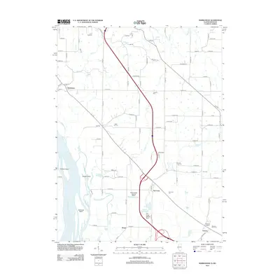 2012 Marblehead2012 Print · USGSThe Mississippi River floodplain and Adams County bluffs are shown in detail during the early 2010s. Genealogists and local historians can trace family plots at Bluff Hall Cem and Craigtown Cem or locate the settlements of Marblehead and Seehorn.
 - 2014 Map of Hannibal West, 2014 Print
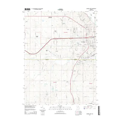 2014 Hannibal West2014 Print · USGSThe western outskirts of Hannibal and the Marion-Ralls county line appear here during the mid-2010s, showing a landscape shaped by the Bear Creek drainage. Researchers can find numerous family-named landmarks and resting places, from Withers Mill and White Bear to Grand View Burial Park and Saint Marys Cemetery.
 - 2014 Map of Monroe City, 2014 Print
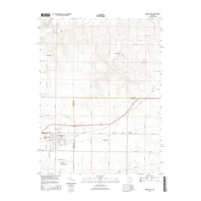 2014 Monroe City2014 Print · USGSMonroe City and its tri-county surroundings appear here at the beginning of the twenty-first century. Researchers can trace the local landscape from the Captain Ben Smith Airfield to historic sites like Cobb Cemetery and Hassard.
 - 2014 Map of Emden, 2014 Print
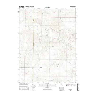 2014 Emden2014 Print · USGSNortheast Missouri’s rural character is on full display in this 2014 survey of the Shelby and Marion County line. Researchers can trace the layout of small settlements like Bellville and locate ancestral sites at Ebenezer Cemetery or Andrew Chapel Cemetery.
 - 2014 Map of Nelsonville, 2014 Print
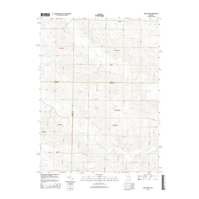 2014 Nelsonville2014 Print · USGSNortheast Missouri farm country is meticulously detailed here in the early twenty-first century where Marion, Lewis, and Shelby counties meet. Researchers can trace rural property connections and local landmarks like Methodist Cemetery, Haycraft Bridge, and the community of Nelsonville.
 - 2014 Map of Hannibal East, 2014 Print
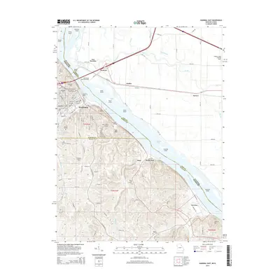 2014 Hannibal East2014 Print · USGSAlong the Mississippi River during the early twenty-first century, the riverfront settlements of Missouri and Illinois remain tied by historic bridges and rail. Genealogists can locate family sites at Riverside Cemetery and Mount Olivet Church or trace the old paths of Ilasco and Saverton.
 - 2014 Map of Durham, 2014 Print
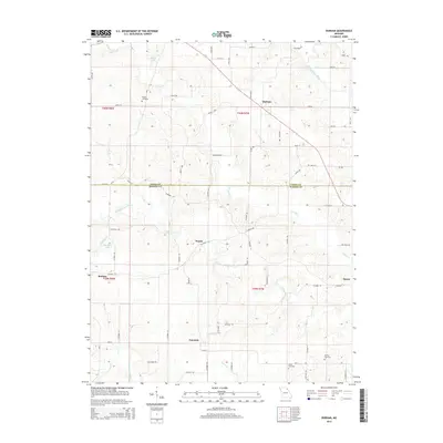 2014 Durham2014 Print · USGSMarion and Lewis counties come to life in this survey of the northern Missouri river valleys. Genealogists and historians can trace family roots through Wagner Cemetery or explore the rural hubs of Durham and Emerson during the early twenty-first century.
 - 2014 Map of Philadelphia, 2014 Print
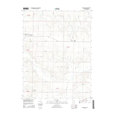 2014 Philadelphia2014 Print · USGSMarion County's rural heartland is preserved here in the early twenty-first century, showcasing the agricultural reaches of Northeast Missouri. Researchers can trace family ties through Philadelphia and Little Union Churchyard, or locate landmarks like Doctor J W Well Lake and the winding North River.
 - 2015 Map of Maywood, 2015 Print
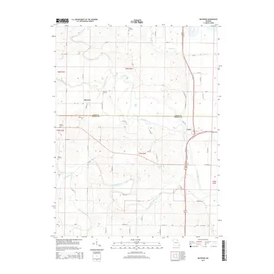 2015 Maywood2015 Print · USGSNortheastern Missouri farmland meets the winding forks of the Fabius River in the mid-2010s. Researchers can locate family burial sites at Maywood Cemetery and Liberty Cemetery while tracing the rural road network connecting Maywood and Taylor.
 - 2015 Map of Rensselaer, 2015 Print
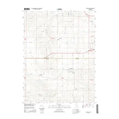 2015 Rensselaer2015 Print · USGSNear the Marion and Ralls County line in the mid-2010s, this area shows a landscape of small agricultural settlements and historic burial sites. Genealogists and local historians can trace family roots at the West Ely Graveyard, Big Creek Cemetery, and the community of Rensselaer.
 - 2015 Map of Palmyra, 2015 Print
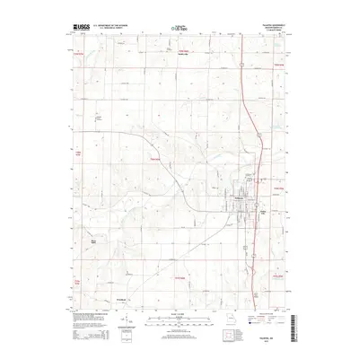 2015 Palmyra2015 Print · USGSMarion County in the mid-2010s shows a landscape of established towns and quiet river valleys. Genealogists and historians can trace local roots through Greenwood Cemetery or locate old community sites like Smileyville, Slees Mills, and Dodge City.
 - 2015 Map of Hunnewell, 2015 Print
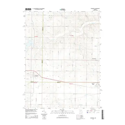 2015 Hunnewell2015 Print · USGSNortheast Missouri at the meeting of three counties shows a landscape of agricultural roads and winding river forks during the mid-2010s. Researchers can trace family sites near How Cemetery or explore the waterfronts of Hunnewell Lake and Monroe Lake.
Showing maps 1-25 of 42
Top cities of Marion County
Frequently asked questions
- What are the different types of historical maps available for Marion County?
- What is the oldest map of Marion County?
- Where can I purchase historical maps of Marion County for my home or office?
- Where can I download high-res historical maps of Marion County?
- Are there historical topographic maps available for Marion County?
- Is there historical aerial imagery available for Marion County?
- Where are historical maps of Marion County sourced from?