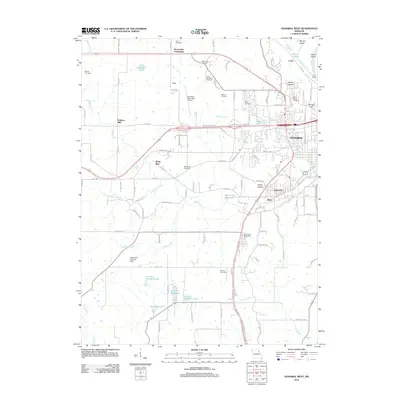
2012 Map of Hannibal West
USGS Topo · Published 2012About this map
The western outskirts of Hannibal reveal a transition from suburban expansion to the agricultural landscapes of Marion and Ralls counties. Near the Mississippi River valley, the terrain is shaped by Ziegler Island and Ziegler Chute, while the interior is defined by the winding paths of Bear Creek and Little Bear Creek. The map records several small communities and historic nodes like Withers Mill, White Bear, and the Mount Zion Community.
Find a feature on this map
117 named features on this map. Tap any name to fly to it.
Don’t see what you’re looking for? This feature index may not catch every label — zoom into the map to look around manually.
Map Details
Editions of this 2012 Hannibal West Map
This is the sole edition of this map. No revisions or reprints were ever made.
Other maps of this area

1903 · Palmyra
USGS Topo · 1:125,000

1925 · Quincy
USGS Topo · 1:62,500

1932 · Hannibal
USGS Topo · 1:62,500

1936 · Hannibal
USGS Topo · 1:48,000

1944 · Quincy
USGS Topo · 1:62,500

1945 · Hannibal
USGS Topo · 1:62,500

1945 · Quincy
USGS Topo · 1:62,500

1948 · Quincy
USGS Topo · 1:250,000

1949 · Palmyra
USGS Topo · 1:24,000

1950 · Palmyra
USGS Topo · 1:24,000