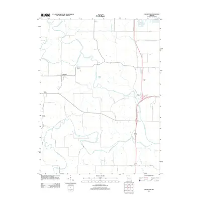
2012 Map of Maywood
USGS Topo · Published 2012About this map
The North Fabius River and its sister forks dominate this portion of Marion County, where the rivers meander through a landscape defined by small-scale farming and quiet settlements. Maywood and Taylor serve as the primary hubs for this rural area, connected by a network of county roads that follow the high ground between the drainage basins of Durgens Creek and the river valleys. The map reveals a high concentration of burial grounds for a sparsely populated area, including Liberty Cemetery, Maywood Cemetery, Hebron Cemetery, and Sunrise Cemetery, which provide essential points of reference for local family history research. Along the southern reaches, Bethel Branch feeds into the South Fabius River, while smaller landmarks like Maple Lake and Haerr Field suggest the community's local recreation and land use patterns during the early 21st century.
Find a feature on this map
47 named features on this map. Tap any name to fly to it.
Don’t see what you’re looking for? This feature index may not catch every label — zoom into the map to look around manually.
Map Details
Editions of this 2012 Maywood Map
This is the sole edition of this map. No revisions or reprints were ever made.
Other maps of this area

1903 · Kahoka
USGS Topo · 1:125,000

1903 · Palmyra
USGS Topo · 1:125,000

1925 · Quincy
USGS Topo · 1:62,500

1944 · Quincy
USGS Topo · 1:62,500

1945 · Quincy
USGS Topo · 1:62,500

1946 · Mendon
USGS Topo · 1:62,500

1948 · Quincy
USGS Topo · 1:250,000

1948 · Mendon
USGS Topo · 1:62,500

1949 · Durham
USGS Topo · 1:24,000

1949 · Maywood
USGS Topo · 1:24,000