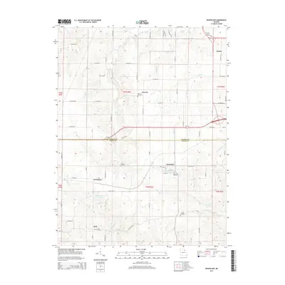
2015 Map of Rensselaer
USGS Topo · Published 2015About this map
Rensselaer sits at the heart of this landscape along the border of Marion and Ralls Counties, where the upland prairies of northeast Missouri transition into the drainage basins of the S River and Big Cr. The area is characterized by a network of small family and community burial grounds, such as the West Ely Graveyard and Finley Cemetery, reflecting a long-established rural settlement pattern. The local economy and topography are shaped by water features like Sylvan Lake and Lake Hannibal, alongside smaller tributaries like College Br and Bear Cr. Transportation is defined by a dense grid of county roads and Highway MM, connecting small community clusters at Huntington, West Ely, and Sheil. This survey captures the region's agricultural character and persistent rural landmarks in the early twenty-first century.
Find a feature on this map
70 named features on this map. Tap any name to fly to it.
Don’t see what you’re looking for? This feature index may not catch every label — zoom into the map to look around manually.
Map Details
Editions of this 2015 Rensselaer Map
This is the sole edition of this map. No revisions or reprints were ever made.
Other maps of this area

1903 · Palmyra
USGS Topo · 1:125,000

1925 · Quincy
USGS Topo · 1:62,500

1932 · Hannibal
USGS Topo · 1:62,500

1936 · Hannibal
USGS Topo · 1:48,000

1944 · Quincy
USGS Topo · 1:62,500

1945 · Hannibal
USGS Topo · 1:62,500

1945 · Quincy
USGS Topo · 1:62,500

1948 · Quincy
USGS Topo · 1:250,000

1949 · Palmyra
USGS Topo · 1:24,000

1949 · Philadelphia
USGS Topo · 1:24,000