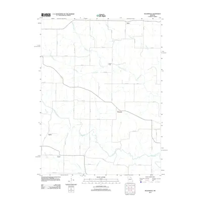
2012 Map of Nelsonville
USGS Topo · Published 2012About this map
Nelsonville serves as the central hub of this landscape, situated at the intersection of several county roads that thread through the rural Northeast Missouri countryside. The drainage patterns are a defining characteristic of the area, as the South Fabius River and several significant tributaries, including Troublesome Creek and Long Branch, carve through the terrain. The map records the placement of small rural communities like Argola and Sigsbee, which alongside the Methodist Cemetery, offer important reference points for genealogists and local historians documenting family land tracts. Of particular interest is the Haycraft Bridge, a specific landmark spanning the waters of Troublesome Creek. The map details an extensive network of local routes, such as Co RD-107 and Co RD-248, illustrating the modern connectivity of this primarily agricultural region during the early twenty-first century.
Find a feature on this map
47 named features on this map. Tap any name to fly to it.
Don’t see what you’re looking for? This feature index may not catch every label — zoom into the map to look around manually.
Map Details
Editions of this 2012 Nelsonville Map
This is the sole edition of this map. No revisions or reprints were ever made.
Other maps of this area

1903 · Kahoka
USGS Topo · 1:125,000

1903 · Palmyra
USGS Topo · 1:125,000

1948 · Quincy
USGS Topo · 1:250,000

1949 · Durham
USGS Topo · 1:24,000

1949 · Philadelphia
USGS Topo · 1:24,000

1950 · Durham
USGS Topo · 1:24,000

1950 · Philadelphia
USGS Topo · 1:24,000

1950 · Lewistown
USGS Topo · 1:24,000
1950 · Monticello
USGS Topo · 1:24,000

1950 · La Belle
USGS Topo · 1:24,000