
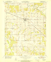
1950 Map of La Belle
USGS Topo · Published 1977About this map
The town of La Belle anchors this rural Missouri landscape, situated along the Burlington Northern railroad line. The map captures a high density of rural educational history, documented through a series of one-room schoolhouses such as Jeddo Sch, Sweet Oak Sch, Salem Sch, and Fruit Hill Sch. This mid-century survey also notes the transition of local infrastructure, specifically identifying Airport Sch and Woodland Sch as abandoned by 1950.
Find a feature on this map
25 named features on this map. Tap any name to fly to it.
Don’t see what you’re looking for? This feature index may not catch every label — zoom into the map to look around manually.
Map Details
Editions of this 1950 La Belle Map
This is the sole edition of this map. No revisions or reprints were ever made.
Other maps of this area

1903 · Kahoka
USGS Topo · 1:125,000

1903 · Palmyra
USGS Topo · 1:125,000

1903 · Edina
USGS Topo · 1:125,000

1948 · Quincy
USGS Topo · 1:250,000

1950 · Williamstown
USGS Topo · 1:24,000

1950 · Lewistown
USGS Topo · 1:24,000

1951 · La Belle
USGS Topo · 1:24,000
1951 · Lewistown
USGS Topo · 1:24,000
1951 · Williamstown
USGS Topo · 1:24,000
1951 · Deer Ridge
USGS Topo · 1:24,000