
1950 Map of Williamstown
USGS Topo · Published 1967About this map
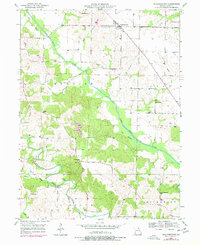
Williamstown serves as the focal point of this Lewis County landscape, situated near the northern edge of a terrain defined by the winding paths of the Middle Fabius River and the Old Channel North Fabius River. The 1950 field check reveals a community-centric rural infrastructure, heavily dotted with small local institutions such as Walker Sch, Morris Sch, and Turpin Sch. These schoolhouses, along with Providence Ch and several family or community burial grounds like Cecil Cem and Morris Cem, indicate a landscape where local identity was tied closely to small neighborhood hubs rather than a single urban center. The survey also captures the hydrological character of the region, featuring numerous named drainage ways like Forsee Branch and Cooper Branch that feed into the larger river systems.
Find a feature on this map
28 named features on this map. Tap any name to fly to it.
Don’t see what you’re looking for? This feature index may not catch every label — zoom into the map to look around manually.
Map Details
Editions of this 1950 Williamstown Map
2 editions found
Other maps of this area

1903 · Kahoka
USGS Topo · 1:125,000

1949 · St. Patrick
USGS Topo · 1:24,000

1950 · Saint Patrick
USGS Topo · 1:24,000

1950 · Neeper
USGS Topo · 1:24,000

1950 · Benjamin
USGS Topo · 1:24,000

1950 · Lewistown
USGS Topo · 1:24,000

1950 · Colony
USGS Topo · 1:24,000
1950 · Monticello
USGS Topo · 1:24,000

1950 · La Belle
USGS Topo · 1:24,000
1951 · Benjamin
USGS Topo · 1:24,000