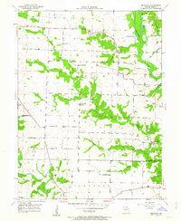
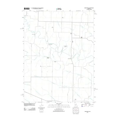
1950 Map of Benjamin
USGS Topo · Published 1963About this map
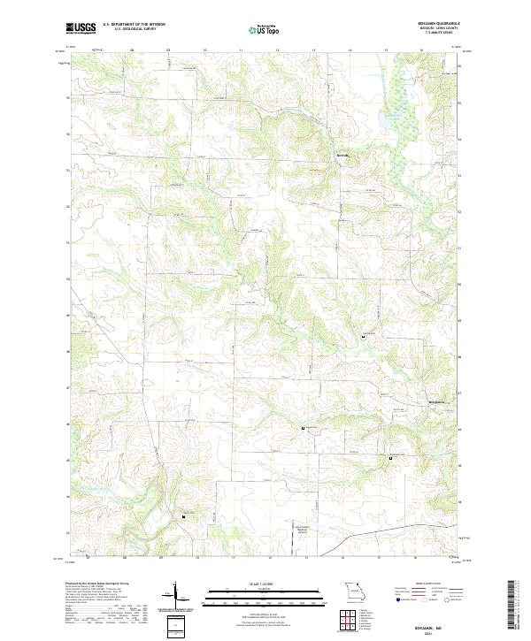
Benjamin and Derrahs serve as the primary focal points of this mid-century rural landscape in Lewis County, where the intricate network of the Wyaconda River and its various tributaries, such as Sugar Creek and Hahn Branch, define the topography. The settlement pattern is characterized by widely dispersed family-named landmarks and local community centers, including Zion Hill Ch and Antioch Ch. Genealogy researchers will find significant value in the distribution of small burial grounds like Henton Cem, Graves Cem, and Jarvis Cem, which are scattered across the townships of Lyon and Dickerson. The presence of numerous local schoolhouses, such as Allen Sch and Boudreau Sch, suggests a series of established rural districts before the mid-twentieth century's school consolidations altered the local educational landscape. The map also captures several natural features like Rainbow Slough and the winding course of the North Fabius River in the southwest corner.
Find a feature on this map
25 named features on this map. Tap any name to fly to it.
Don’t see what you’re looking for? This feature index may not catch every label — zoom into the map to look around manually.
Map Details
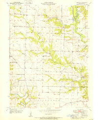
Editions of this 1950 Benjamin Map
This is the sole edition of this map. No revisions or reprints were ever made.
Historical Maps of Benjamin Through Time
11 maps found
1950 Benjamin
Lewis County, MO
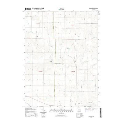
1951 Benjamin
Lewis County, MO
1951 Deer Ridge
Lewis County, MO
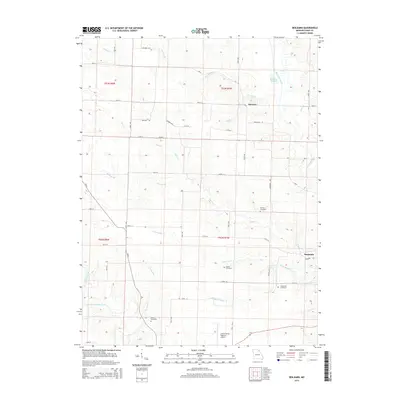
2012 Benjamin
Lewis County, MO
2012 Deer Ridge
Lewis County, MO
2014 Deer Ridge
Lewis County, MO
2015 Benjamin
Lewis County, MO
2017 Benjamin
Lewis County, MO
2017 Deer Ridge
Lewis County, MO
2021 Benjamin
Lewis County, MO
2021 Deer Ridge
Lewis County, MO