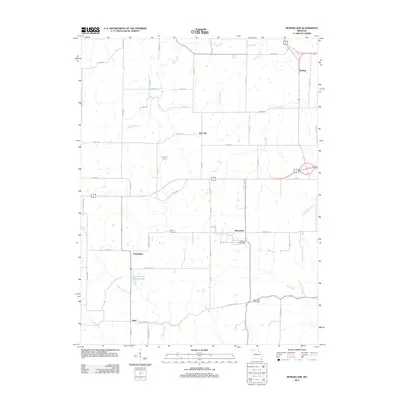
2012 Map of Rensselaer
USGS Topo · Published 2012About this map
Rensselaer serves as a focal point in this portion of Northeast Missouri, surrounded by a rural landscape defined by small clusters of settlement. The map documents the spatial relationship between Huntington and Barkley, reflecting a late-twentieth and early twenty-first-century infrastructure that relies on a network of county roads. These secondary arteries connect outlying agricultural areas to local centers, with Sheil marking the southern extent of the surveyed region. The distribution of these named localities suggests a historical pattern of development tied to the local transport corridors that cross the Missouri plains, providing a clear view of the area's civic layout before modern urban expansion reached these smaller communities.
Find a feature on this map
4 named features on this map. Tap any name to fly to it.
Don’t see what you’re looking for? This feature index may not catch every label — zoom into the map to look around manually.
Map Details
Editions of this 2012 Rensselaer Map
This is the sole edition of this map. No revisions or reprints were ever made.
Other maps of this area

1903 · Palmyra
USGS Topo · 1:125,000

1925 · Quincy
USGS Topo · 1:62,500

1932 · Hannibal
USGS Topo · 1:62,500

1936 · Hannibal
USGS Topo · 1:48,000

1944 · Quincy
USGS Topo · 1:62,500

1945 · Hannibal
USGS Topo · 1:62,500

1945 · Quincy
USGS Topo · 1:62,500

1948 · Quincy
USGS Topo · 1:250,000

1949 · Palmyra
USGS Topo · 1:24,000

1949 · Philadelphia
USGS Topo · 1:24,000