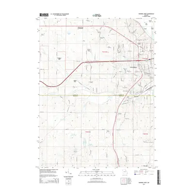
2014 Map of Hannibal West
USGS Topo · Published 2014About this map
Hannibal serves as the focal point of this 2014 survey, where the urban landscape meets the rolling drainage basins of the Mississippi River valley. The area exhibits a dense concentration of local history markers, including Saint Marys Cemetery and Grand View Burial Park, alongside the academic grounds of Hannibal-Lagrange Coll. The terrain is defined by the winding course of Bear Cr, which feeds into the Bear Creek Reservoir and provides a natural corridor between the city and western settlements like Withers Mill and White Bear.
Find a feature on this map
149 named features on this map. Tap any name to fly to it.
Don’t see what you’re looking for? This feature index may not catch every label — zoom into the map to look around manually.
Map Details
Editions of this 2014 Hannibal West Map
This is the sole edition of this map. No revisions or reprints were ever made.
Other maps of this area

1903 · Palmyra
USGS Topo · 1:125,000

1925 · Quincy
USGS Topo · 1:62,500

1932 · Hannibal
USGS Topo · 1:62,500

1936 · Hannibal
USGS Topo · 1:48,000

1944 · Quincy
USGS Topo · 1:62,500

1945 · Hannibal
USGS Topo · 1:62,500

1945 · Quincy
USGS Topo · 1:62,500

1948 · Quincy
USGS Topo · 1:250,000

1949 · Palmyra
USGS Topo · 1:24,000

1950 · Palmyra
USGS Topo · 1:24,000