2020s Maps of Miller County, Missouri
Explore 18 historic maps of Miller County from the 2020s. These maps offer a rare glimpse into what life looked like during the 2020s — showing old roads, neighborhoods, homes, and landmarks that have changed or disappeared over time.
Whether you're researching your family's past, planning a metal detecting trip, or studying how Miller County's landscape evolved across the 2020s, these high-resolution maps are a powerful tool for exploring the history of this region.
- Focus on a specific era: All maps on this page are from the 2020s, giving you a focused view of this time period.
- See what’s changed: Compare century-old streets, trails, and buildings to today's modern landscape using overlays and satellite layers.
- Research with precision: Use these maps for genealogy, historical research, land use analysis, or educational projects.
- View, download, or print: Maps are fully viewable online in high resolution, and can be downloaded or printed for your own records.
Start exploring Miller County's history through authentic maps from the 2020s. This is your window into the past.
Miller County, MO maps
(18)- 2021 Map of Eldon, 2021 Print
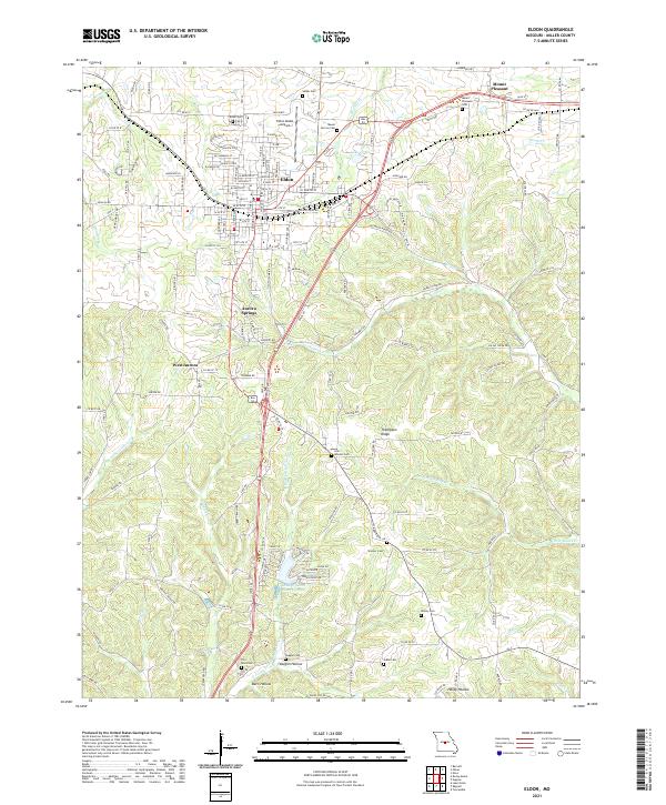 2021 Eldon2021 Print · USGSEldon and the surrounding Miller County hills are shown in detail as they appeared in the early 2020s. Researchers can trace family history through numerous rural cemeteries like Salem Cem and Skinner Cem or locate settlements at Aurora Springs and Mount Pleasant.
 - 2021 Map of Rocky Mount, 2021 Print
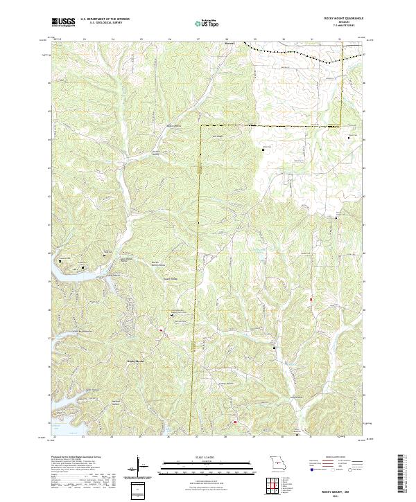 2021 Rocky Mount2021 Print · USGSMorgan County is captured here in the early twenty-first century, showing the rural development around the Missouri uplands. Genealogists and local historians can trace family locations near the Dooley Chapel Cem and the communities of Barnett and Rocky Mount.
 - 2021 Map of Eugene, 2021 Print
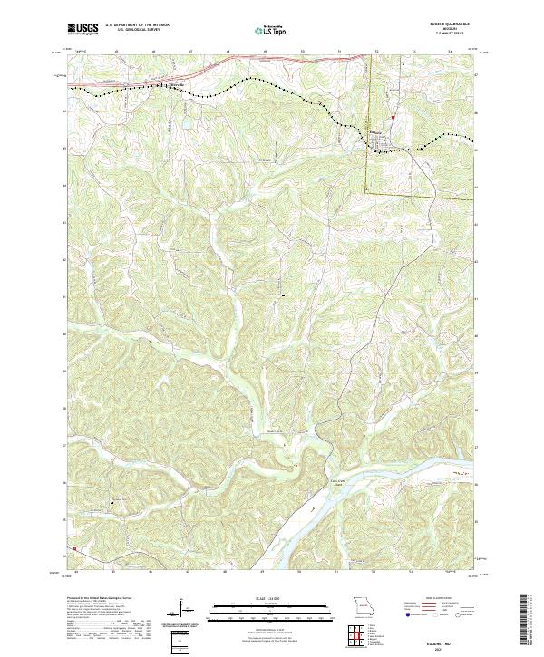 2021 Eugene2021 Print · USGSIn the rural hills of central Missouri, this modern survey captures the landscape of Cole and Miller counties as it surrounds the Osage River. Researchers can locate Gageville Cem and Thompson Cem, or trace old routes like Ernest Miller Rd near Etterville.
 - 2021 Map of Enon, 2021 Print
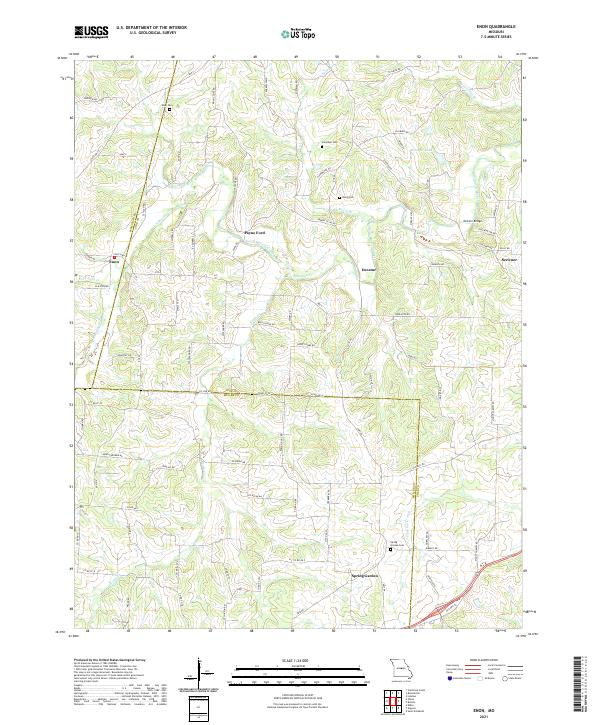 2021 Enon2021 Print · USGSThe rural borders of Cole and Miller counties come alive in this recent survey of Central Missouri. Trace family history through Spring Garden Cem and Enon Cem, or locate landmarks like McCann Bridge and Payne Ford.
 - 2021 Map of Olean, 2021 Print
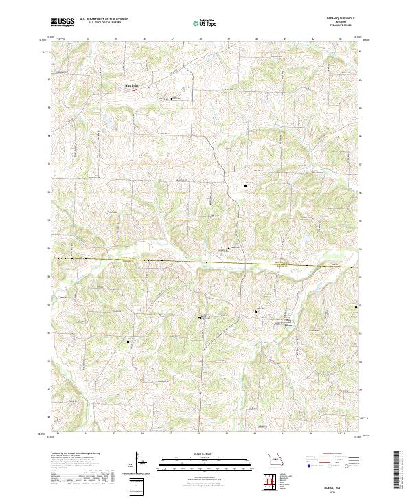 2021 Olean2021 Print · USGSCrossing the line between Moniteau and Miller counties in the early twenty-first century, this area reveals a deeply rooted rural community. Genealogists can trace family names through numerous sites like Olean Cem, High Point Cem, and the Green Ridge Baptist Church Cem.
 - 2021 Map of Brumley, 2021 Print
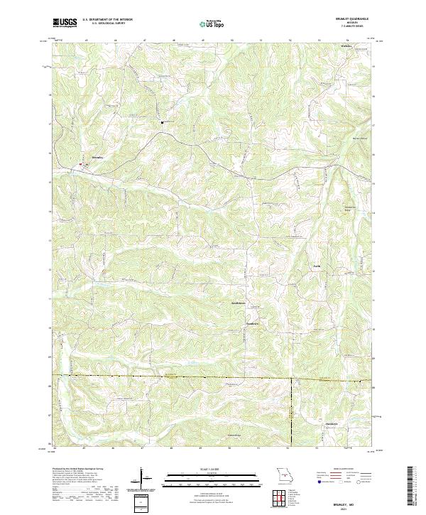 2021 Brumley2021 Print · USGSThe northern Ozarks of Miller County come into focus in this recent survey, capturing a landscape of tight-knit rural communities. You can trace the roads connecting Brumley to smaller settlements like Keethtown, Faith, and Hawkeye near the Barren Fork valley.
 - 2021 Map of Bagnell, 2021 Print
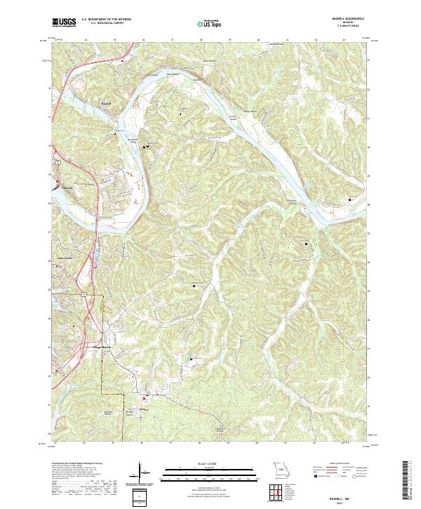 2021 Bagnell2021 Print · USGSThe Osage River valley at the height of its role as a premier Midwestern recreation and power hub. Trace family histories at Sander Cem or Henderson Cem, and explore the shoreline from Bagnell to Osage Beach.
 - 2021 Map of Meta, 2021 Print
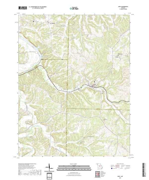 2021 Meta2021 Print · USGSOsage and Miller counties are shown here in the early 2020s, a landscape defined by the winding Osage River and rural ridge settlements. Genealogists can locate family-named sites like Thompson Cem or trace old routes such as Scheuer Ferry Rd and Old St Thomas Rd.
 - 2021 Map of Saint Anthony, 2021 Print
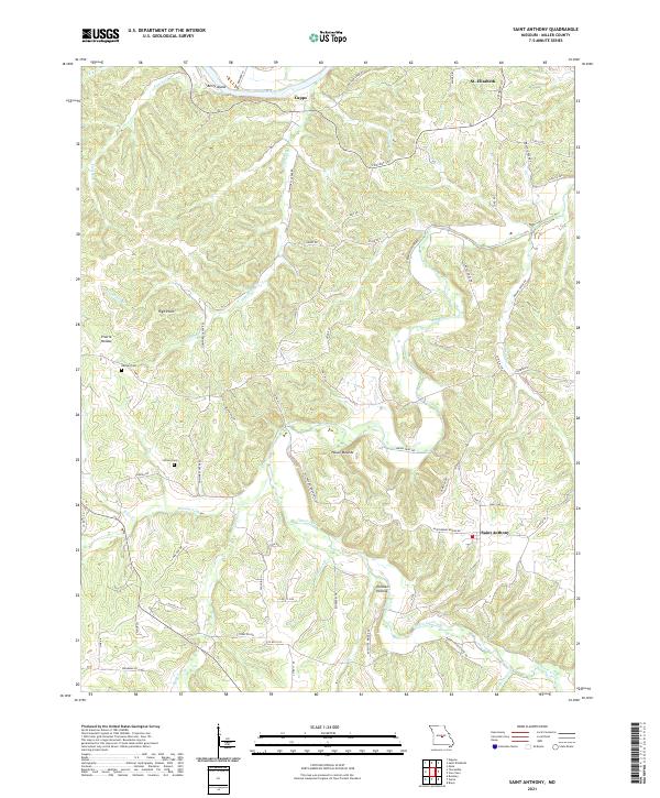 2021 Saint Anthony2021 Print · USGSMiller County's Ozark interior comes to life in this recent survey of the region south of the Osage River. Researchers can trace the lineage of local settlements at Saint Anthony and St. Elizabeth or find quiet family landmarks like Ramsey Cem and Wilson Cem.
 - 2021 Map of Toronto, 2021 Print
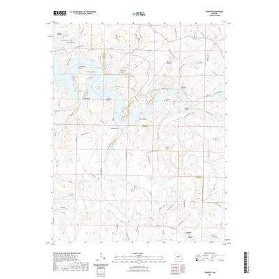 2021 Toronto2021 Print · USGSCamden and Miller counties come alive in this recent survey of the Missouri Ozarks, where the Grandglaize Arm meets the interior hills. Researchers can locate the old settlement of Passover, trace local lineages at Kuykendall Cem, and find the landmark Swinging Bridge.
 - 2021 Map of Van Cleve, 2021 Print
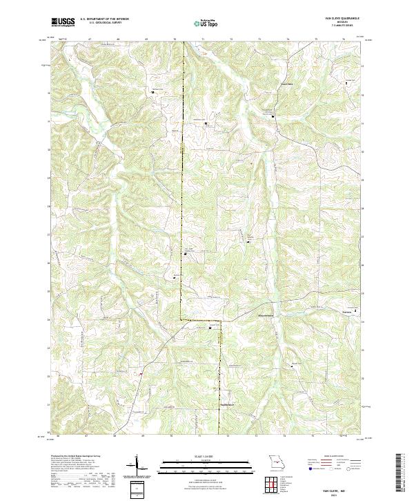 2021 Van Cleve2021 Print · USGSThe Miller and Maries county line comes alive in this contemporary survey of Missouri's creek-carved interior. Researchers can trace numerous family burial sites like Pendleton Cem or Duncan Cem and locate small communities such as Sudheimer and Van Cleve.
 - 2021 Map of Iberia, 2021 Print
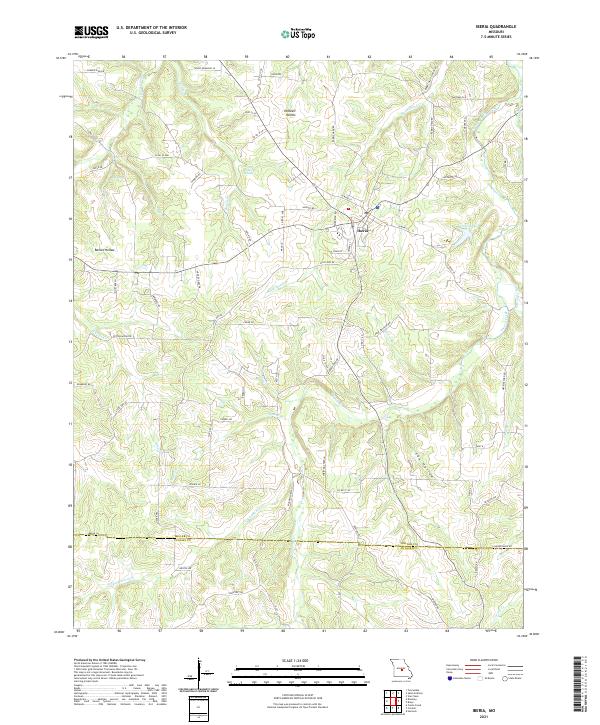 2021 Iberia2021 Print · USGSIberia and the surrounding Ozark foothills are captured here in the early 2020s, showing a landscape defined by deep hollows and spring-fed creeks. Genealogists and local historians can trace legacy routes like Rabbit Head School Rd and find natural landmarks such as Blue Spring and Heltzell Hollow.
 - 2021 Map of Lake Ozark, 2021 Print
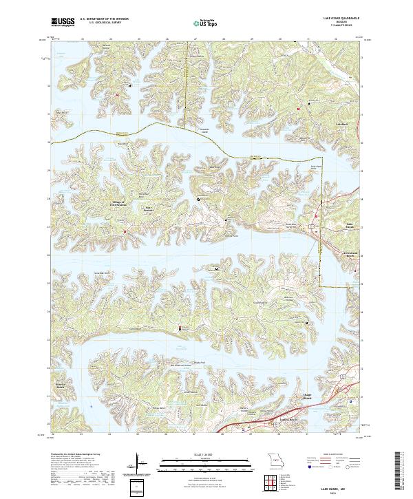 2021 Lake Ozark2021 Print · USGSThe Missouri lakefront comes to life in this recent survey of the intricate shoreline at Lake of the Ozarks. Trace the modern development of Village of Four Seasons and Osage Beach alongside older family landmarks like Anderson Cem and Carrot Bluff.
 - 2021 Map of Barnett, 2021 Print
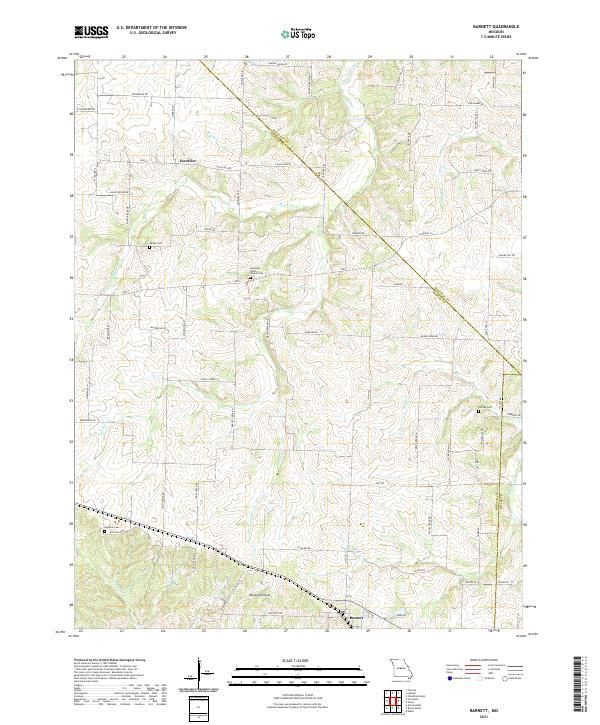 2021 Barnett2021 Print · USGSThe community of Barnett and the settlement of Excelsior are captured here in the early twenty-first century. Researchers can trace rural genealogy and land use through Hopewell Union Church Cem, Big Rock Cem, and the creek-fed terrain of Routon Hollow.
 - 2021 Map of Tuscumbia, 2021 Print
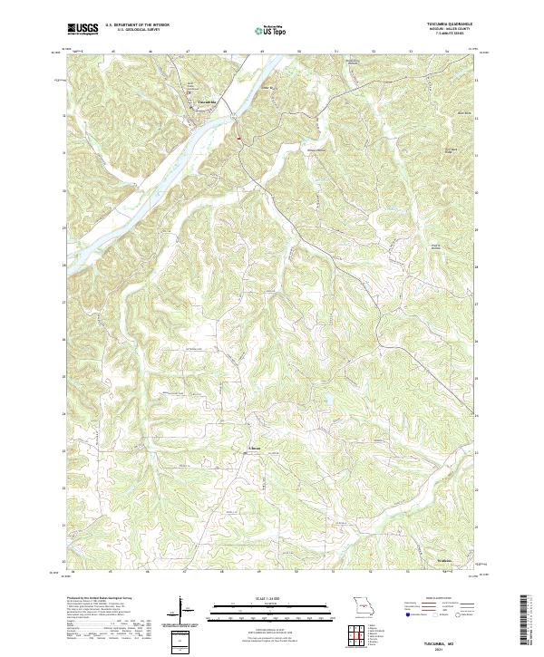 2021 Tuscumbia2021 Print · USGSTuscumbia and the Osage River valley are documented here in the early twenty-first century as they wind through Miller County. Genealogists and local historians can trace family locations near Ulman, Watkins, and landmarks like the Miller County Courthouse or Cedar Bluffs.
 - 2021 Map of Saint Elizabeth, 2021 Print
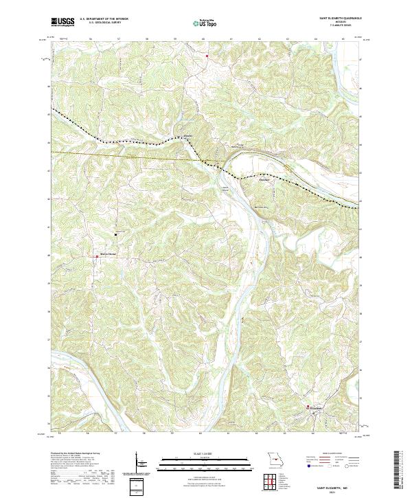 2021 Saint Elizabeth2021 Print · USGSThe Osage River valley at the Cole and Miller county line remains a landscape of high ridges and winding bottoms in the early twenty-first century. Researchers can trace family sites near Marys Home, find Jenkins Cem, and locate river features like Jones Island.
 - 2021 Map of Brays, 2021 Print
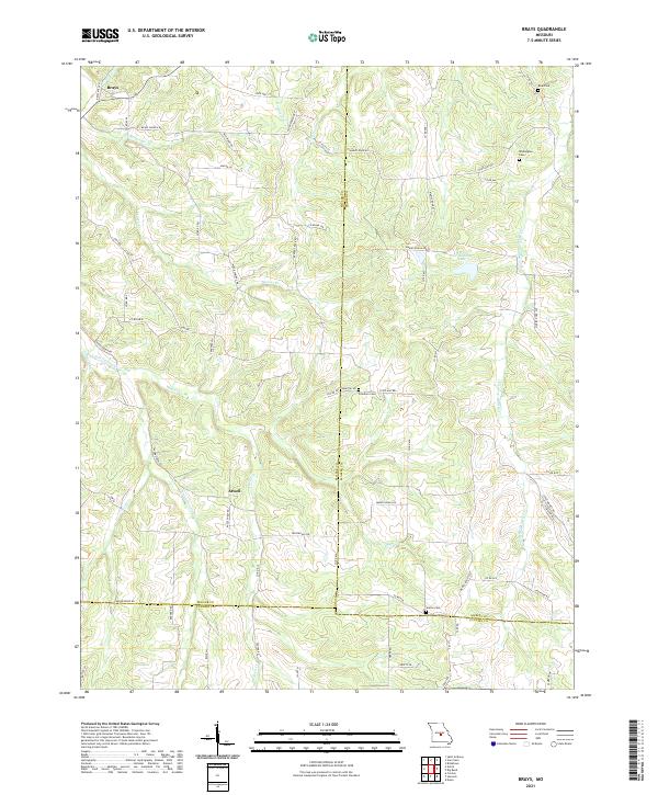 2021 Brays2021 Print · USGSSettled creek valleys and family cemeteries define this rural Missouri landscape where Miller and Maries counties meet. Researchers can trace local roots through Atwell and Brays, locating Freedom and Washington Cem near the banks of the Little Maries River.
 - 2023 Map of Toronto, 2023 Print
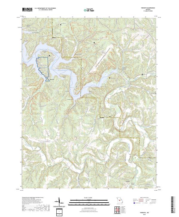 2023 Toronto2023 Print · USGSThe Lake of the Ozarks region in the early 2020s shows a landscape of deep hollows and winding recreation waters along the Camden Co and Miller Co line. Genealogists can trace family landmarks like the Jeffries Family Cem and Kuykendall Cem or the old settlement at Passover.
End of results
Showing maps 1-18 of 18
Top cities of Miller County
- Eldon historical maps
- Lake Ozark historical maps
- Iberia historical maps
- Tuscumbia historical maps
- Olean historical maps
- Brumley historical maps
See more
Frequently asked questions
- What are the different types of historical maps available for Miller County?
- What is the oldest map of Miller County?
- Where can I purchase historical maps of Miller County for my home or office?
- Where can I download high-res historical maps of Miller County?
- Are there historical topographic maps available for Miller County?
- Is there historical aerial imagery available for Miller County?
- Where are historical maps of Miller County sourced from?