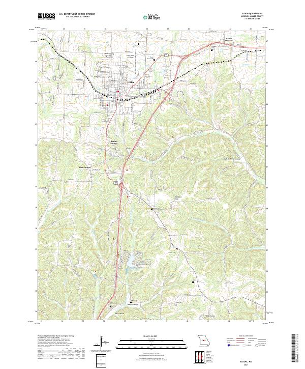
2021 Map of Eldon
USGS Topo · Published 2021About this map
Eldon serves as the central hub of this Miller County landscape, where the street grid of the city gives way to the winding rural routes of the northern Ozarks. The topography is defined by the branching tributaries of Saline Cr and Little Gravois Cr, creating a series of ridges and hollows such as Thompson Ridge and Vaughn Hollow. Genealogists and local historians will find a high density of small family and community burial grounds, including Salem Cem, Skinner Cem, and Wenzel Cem, often located at the intersections of county roads or tucked away near residential clusters like Aurora Springs. The map also illustrates 21st-century land use patterns, from the aviation activity at Eldon Model Airpark to the residential development of Land of Lakes Incorporated south of the city. These features, alongside named locations like Hardy Hollow and Mount Pleasant, provide a detailed record of the contemporary rural and small-town Missouri landscape.
Find a feature on this map
166 named features on this map. Tap any name to fly to it.
Don’t see what you’re looking for? This feature index may not catch every label — zoom into the map to look around manually.
Map Details
Editions of this 2021 Eldon Map
This is the sole edition of this map. No revisions or reprints were ever made.
Other maps of this area

1888 · Versailles
USGS Topo · 1:125,000

1888 · Tuscumbia
USGS Topo · 1:125,000

1893 · Versailles
USGS Topo · 1:125,000

1894 · Tuscumbia
USGS Topo · 1:125,000

1904 · Eldon
USGS Topo · 1:62,500

1932 · Versailles No 4
USGS Topo · 1:48,000

1933 · Iberia
USGS Topo · 1:62,500

1934 · Lake Ozark
USGS Topo · 1:24,000

1934 · Bagnell
USGS Topo · 1:24,000

1935 · Rocky Mount
USGS Topo · 1:24,000