Old Maps of St. Elizabeth, Missouri for Academic Research
Study the evolution of St. Elizabeth with 22 high-resolution historic maps. Whether you're teaching, researching, or modeling changes in land use, these maps provide essential visual documentation of urban, environmental, and geographic change.
- Analyze long-term change: Track patterns in development, transportation, and natural features.
- Ideal for environmental or urban studies: Support academic projects with primary historical map data.
- Use in the classroom or lab: Educators and researchers rely on these maps to bring historical context to life.
These maps are a powerful tool for teaching, research, and visualizing how St. Elizabeth has changed over the decades.
St. Elizabeth, MO maps
(22)- 1888 Map of Tuscumbia
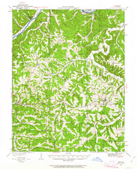
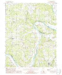
 1888 Tuscumbia1888 Print · USGSThe Osage River valley comes to life in the 1880s, showcasing the intricate river bends and rugged hills of central Missouri. Genealogists and researchers can trace the original locations of early settlements like Tuscumbia, St. Elizabeth, and Iberia.
 - 1894 Map of Tuscumbia
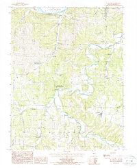
 1894 Tuscumbia1894 Print · USGSCentral Missouri's river-and-rail landscape is captured here in the 1890s as the Osage River served as the region's main artery. Genealogists and historians can trace the early boundaries of communities like Tuscumbia, St. Elizabeth, and Iberia.3 unique versions available
 - 1933 Map of Iberia, 1963 Print
 1933 Iberia1963 Print · USGSThe Osage River hills during the early 1930s reveal a landscape of isolated farmsteads and rural schoolhouses. Genealogists can trace family roots through numerous sites like Ramsey Cem, Gott Ch, and vanished school districts like Stumpf Sch.2 unique versions available
 - 1937 Map of Iberia
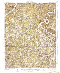 1937 Iberia1937 Print · USGSIberia and the surrounding Miller County hills are captured here in the mid-1930s, showing a landscape of small farms and crossroads communities. Genealogists can trace family footprints at Ramsey Cem, Twelve Corners Ch, and dozens of rural school sites like Barton Sch.2 unique versions available
 - 1947 Map of Jefferson City, 1949 Print
 1947 Jefferson City1949 Print · USGSCentral Missouri and the northern Ozarks come into focus in this late 1940s survey of the river-and-rail landscape. Genealogists and historians can trace the growth of Jefferson City and Sedalia or locate family roots near Bagnell Dam and the Lake of the Ozarks.
 - 1948 Map of Eugene, 1966 Print
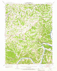 1948 Eugene1966 Print · USGSCentral Missouri rural life is captured here in the years following the war, centered on the rail corridor through Eugene. Researchers can trace family sites and community landmarks like Marys Home, Rush Chapel, and the river bluffs along the Osage River.2 unique versions available
 - 1951 Map of Eugene
 1951 Eugene1951 Print · USGSMid-century life in central Missouri centered on the Chicago Rock Island and Pacific rail corridor and the deep valleys of the Osage River. Researchers can locate dozens of historic rural landmarks, from the McCann Bridge Cem to small communities like Marys Home and Etterville.2 unique versions available
 - 1954 Map of Jefferson City
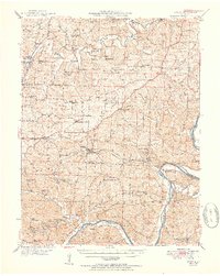
 1954 Jefferson City1954 Print · USGSCentral Missouri in the early postwar years showcases a landscape defined by the winding Lake of the Ozarks and the state capital at Jefferson City. Researchers can trace the mid-century rail networks of the Missouri Pacific RR and locate rural communities like Tuscumbia, St Elizabeth, and St Anthony.2 unique versions available
 - 1955 Map of Jefferson City, 1967 Print
 1955 Jefferson City1967 Print · USGSCentral Missouri in the mid-fifties is defined by the winding Missouri River and the expanding reach of Lake of the Ozarks. Researchers can trace the rail corridors of the Missouri Pacific or locate the early footprint of Whiteman AFB and Jefferson City.4 unique versions available
 - 1958 Map of Jefferson City
 1958 Jefferson City1958 Print · USGSCentral Missouri in the late fifties shows a region transforming through the growth of Whiteman Air Force Base and the Lake of the Ozarks. Researchers can trace rail lines like the Missouri Pacific or find family roots at Enloe Cemetery and Mount Pleasant Cem.
 - 1959 Map of Jefferson City
 1959 Jefferson City1959 Print · USGSCentral Missouri is captured during the mid-fifties as the river economy and rail networks like the Missouri Pacific met the rise of the automobile. Local researchers can trace family landmarks and rural infrastructure from the Lake of the Ozarks up to Providence Cemetery and Knob Noster State Park.
 - 1983 Map of Lake Of The Ozarks, 1984 Print
 1983 Lake Of The Ozarks1984 Print · USGSThe Lake of the Ozarks region in the early eighties shows a landscape of deep river bends and growing recreation. Genealogists can trace family names and small settlements from Versailles to Meta and locate old mining sites like Tiff Mine.
 - 1987 Map of St. Elizabeth, 1988 Print
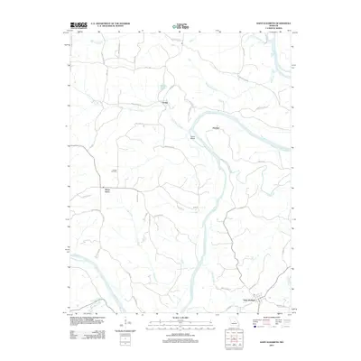
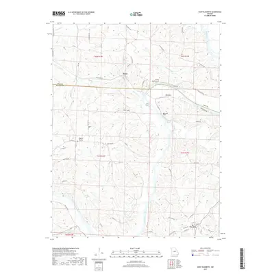
 1987 St. Elizabeth1988 Print · USGSThe Osage River valley in the late eighties reveals a landscape of limestone caves and river-bend settlements. Genealogists and historians can trace the rural communities of St Elizabeth and Marys Home alongside landmarks like Klugs Cave and the Natural Bridge.
 - 1987 Map of St. Anthony, 1988 Print
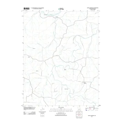
 1987 St. Anthony1988 Print · USGSMiller County's rural heartland is documented here in the late eighties, centered on the village of St Anthony and the winding Osage River. Researchers can trace old family sites near Capps, explore the Wilson Camp State Wildlife Area, or locate rural cemeteries along Tavern Creek.
 - 2011 Map of Saint Elizabeth, 2011 Print
 2011 Saint Elizabeth2011 Print · USGSCovers St. Elizabeth, including Saint Elizabeth, Marys Home, and other nearby areas
 - 2011 Map of Saint Anthony, 2011 Print
 2011 Saint Anthony2011 Print · USGSCovers St. Elizabeth, including Capps, Saint Anthony, and other nearby areas
 - 2015 Map of Saint Elizabeth, 2015 Print
 2015 Saint Elizabeth2015 Print · USGSCovers St. Elizabeth, including Saint Elizabeth, Marys Home, and other nearby areas
 - 2015 Map of Saint Anthony, 2015 Print
 2015 Saint Anthony2015 Print · USGSCovers St. Elizabeth, including Capps, Saint Anthony, and other nearby areas
 - 2017 Map of Saint Anthony, 2017 Print
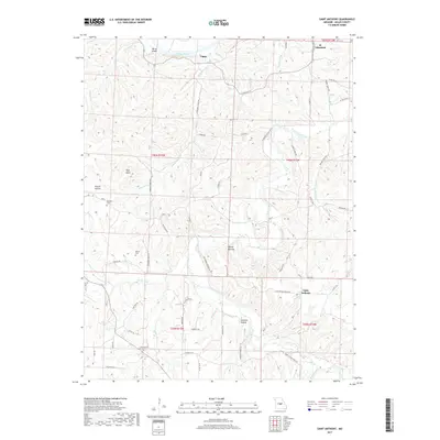 2017 Saint Anthony2017 Print · USGSCovers St. Elizabeth, including Capps, Saint Anthony, and other nearby areas
 - 2017 Map of Saint Elizabeth, 2017 Print
 2017 Saint Elizabeth2017 Print · USGSCovers St. Elizabeth, including Saint Elizabeth, Marys Home, and other nearby areas
 - 2021 Map of Saint Anthony, 2021 Print
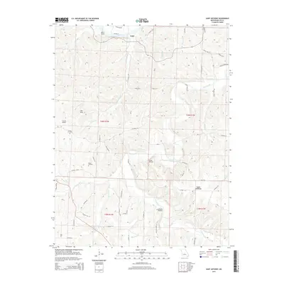
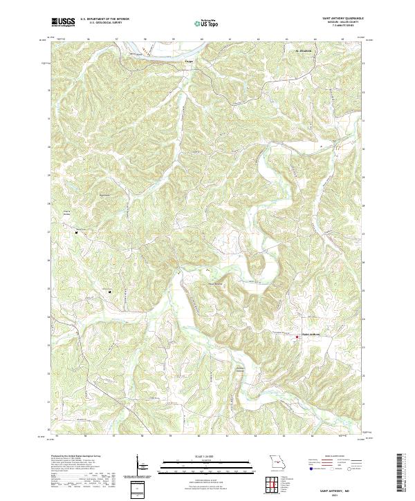 2021 Saint Anthony2021 Print · USGSMiller County's Ozark interior comes to life in this recent survey of the region south of the Osage River. Researchers can trace the lineage of local settlements at Saint Anthony and St. Elizabeth or find quiet family landmarks like Ramsey Cem and Wilson Cem.
 - 2021 Map of Saint Elizabeth, 2021 Print
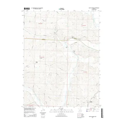
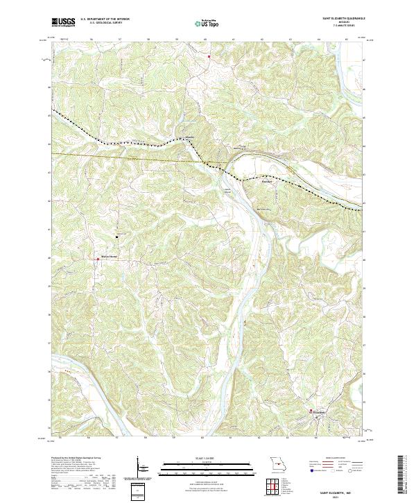 2021 Saint Elizabeth2021 Print · USGSThe Osage River valley at the Cole and Miller county line remains a landscape of high ridges and winding bottoms in the early twenty-first century. Researchers can trace family sites near Marys Home, find Jenkins Cem, and locate river features like Jones Island.
End of results
Showing maps 1-22 of 22
Top cities near St. Elizabeth
- Wardsville historical maps
- Iberia historical maps
- Saint Elizabeth historical maps
- Meta historical maps
- Tuscumbia historical maps
- Brumley historical maps
Top neighborhoods of St. Elizabeth
Frequently asked questions
- What are the different types of historical maps available for St. Elizabeth?
- What is the oldest map of St. Elizabeth?
- Where can I purchase historical maps of St. Elizabeth for my home or office?
- Where can I download high-res historical maps of St. Elizabeth?
- Are there historical topographic maps available for St. Elizabeth?
- Is there historical aerial imagery available for St. Elizabeth?
- Where are historical maps of St. Elizabeth sourced from?