Old Maps of Gravois Mills, Missouri for Hiking & Exploration
Hike through history with 19 historic maps of Gravois Mills. Explore old trails, ghost towns, and forgotten backroads — perfect for outdoor adventurers and local explorers.
- Rediscover forgotten places: Map out old mining camps, roads, and footpaths that no longer exist on modern maps.
- Layer with modern tools: Combine with LiDAR or satellite views to plan hikes through historical terrain.
- Made for exploration: Popular among hikers, overlanders, and local history lovers.
Use these maps to find adventure and explore the hidden past of Gravois Mills.
Gravois Mills, MO maps
(19)- 1888 Map of Versailles
 1888 Versailles1888 Print · USGSCentral Missouri in the late 1880s shows the winding Osage River valley long before the creation of the Lake of the Ozarks. Researchers can trace the original locations of Linn Creek, find the Osage Iron Works, and follow the Missouri Pacific Railroad to its end in Versailles.
 - 1893 Map of Versailles
 1893 Versailles1893 Print · USGSCentral Missouri's river-and-rail landscape is captured here in the late nineteenth century, decades before the valley was transformed by dams. Genealogists can trace family roots in early settlements like Versailles, Bagnell, and the original site of Linn Creek.4 unique versions available
 - 1904 Map of Gravois Mills
 1904 Gravois Mills1904 Print · USGSMorgan County is shown at a pivotal moment in the early twentieth century as railroads began to transform the local economy. Researchers can locate the historic rail junction at Versailles or trace early lead and zinc prospects like the Juliette Mine and Wolfoen Mine.2 unique versions available
 - 1935 Map of Gravois Mills
 1935 Gravois Mills1935 Print · USGSThe northern reaches of the Lake of the Ozarks are captured here in the mid-1930s as tourism begins to reshape Morgan County. Researchers can trace early resort life at YMCA Camp and Navaho Beach or locate family home sites near Jacobs Sch and Gravois Mills.
 - 1947 Map of Jefferson City, 1949 Print
 1947 Jefferson City1949 Print · USGSCentral Missouri and the northern Ozarks come into focus in this late 1940s survey of the river-and-rail landscape. Genealogists and historians can trace the growth of Jefferson City and Sedalia or locate family roots near Bagnell Dam and the Lake of the Ozarks.
 - 1949 Map of Gravois Mills, 1956 Print
 1949 Gravois Mills1956 Print · USGSMorgan County in the late 1940s shows a landscape of deep valleys and rising waters where the Lake of the Ozarks meets the Missouri hills. Researchers can trace old rail corridors and find early mining sites like Juliette Mine or the small settlement of Lodema.
 - 1954 Map of Jefferson City
 1954 Jefferson City1954 Print · USGSCentral Missouri in the early postwar years showcases a landscape defined by the winding Lake of the Ozarks and the state capital at Jefferson City. Researchers can trace the mid-century rail networks of the Missouri Pacific RR and locate rural communities like Tuscumbia, St Elizabeth, and St Anthony.2 unique versions available
 - 1955 Map of Jefferson City, 1967 Print
 1955 Jefferson City1967 Print · USGSCentral Missouri in the mid-fifties is defined by the winding Missouri River and the expanding reach of Lake of the Ozarks. Researchers can trace the rail corridors of the Missouri Pacific or locate the early footprint of Whiteman AFB and Jefferson City.4 unique versions available
 - 1957 Map of Gravois Mills
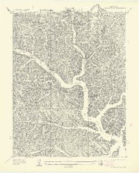 1957 Gravois Mills1957 Print · USGSMorgan County is captured during the mid-century when the shoreline of the Gravois Arm Lake of the Ozarks was still maturing. Genealogists and local historians can locate Hale Sch, the YMCA Camp, and landmarks like Washburn Point.
 - 1958 Map of Jefferson City
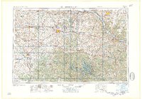 1958 Jefferson City1958 Print · USGSCentral Missouri in the late fifties shows a region transforming through the growth of Whiteman Air Force Base and the Lake of the Ozarks. Researchers can trace rail lines like the Missouri Pacific or find family roots at Enloe Cemetery and Mount Pleasant Cem.
 - 1959 Map of Jefferson City
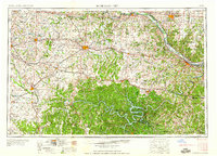 1959 Jefferson City1959 Print · USGSCentral Missouri is captured during the mid-fifties as the river economy and rail networks like the Missouri Pacific met the rise of the automobile. Local researchers can trace family landmarks and rural infrastructure from the Lake of the Ozarks up to Providence Cemetery and Knob Noster State Park.
 - 1959 Map of Gravois Mills, 1960 Print
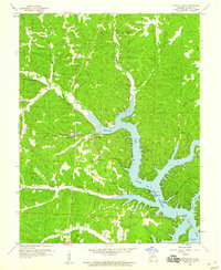 1959 Gravois Mills1960 Print · USGSThe Lake of the Ozarks shoreline near Gravois Mills was well-established by the late fifties, blending traditional Ozark hollows with new lakeside recreation. Genealogists and local historians can locate St Patrick Ch, the Mitchell Mine, and landmarks like Jacobs Cave.3 unique versions available
 - 1961 Map of Gravois Mills, 1965 Print
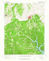 1961 Gravois Mills1965 Print · USGSMorgan County is shown in the early sixties as the regional landscape adjusted to the presence of the Lake of the Ozarks. Trace the Chicago Rock Island and Pacific rail line between Stover and Versailles or locate family sites like Antioch Cem and the Wolf Den Mine.
 - 1983 Map of Lake Of The Ozarks, 1984 Print
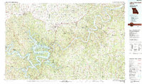 1983 Lake Of The Ozarks1984 Print · USGSThe Lake of the Ozarks region in the early eighties shows a landscape of deep river bends and growing recreation. Genealogists can trace family names and small settlements from Versailles to Meta and locate old mining sites like Tiff Mine.
 - 1983 Map of Gravois Mills, 1984 Print
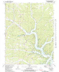 1983 Gravois Mills1984 Print · USGSThe northern reaches of the Lake of the Ozarks come into focus in this early 1980s Missouri survey. Genealogists and local historians can trace family burial sites like Rastorfer Cem and explore landmarks including Jacobs Cave and St Patricks Ch.
 - 2011 Map of Gravois Mills, 2011 Print
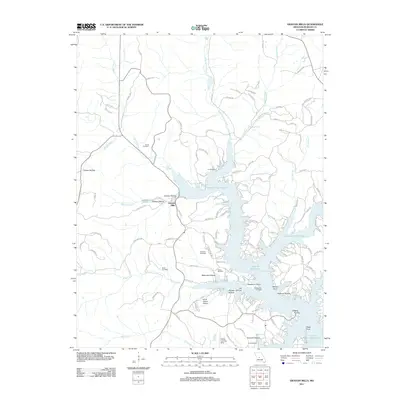 2011 Gravois Mills2011 Print · USGSMorgan County's lakeside community comes into focus during this early 21st-century period of development along the Gravois Arm. Family historians can locate numerous family-named burial grounds like Hume Cemetery and Sidebottom Cemetery or trace the drainage of Soap Creek.
 - 2015 Map of Gravois Mills, 2015 Print
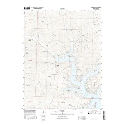 2015 Gravois Mills2015 Print · USGSGravois Mills and the sprawling fingers of the northern Lake of the Ozarks are captured here during the mid-2010s. Genealogists and local historians can locate several family burial grounds, including Hume Cemetery and Rastorfer Cemetery, alongside the Gravois Mills Natural Bridge.
 - 2017 Map of Gravois Mills, 2017 Print
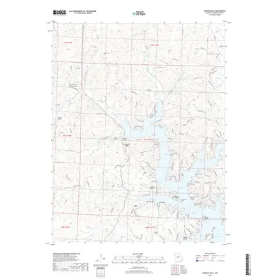 2017 Gravois Mills2017 Print · USGSMorgan County's lakeside terrain comes into sharp focus during the late 2010s, showing the intersection of the Gravois Arm with historic upland hollows. Researchers can trace family history through sites like Hume Cem and Rastorfer Cem or locate landmarks such as the Gravois Mills Natural Bridge.
 - 2021 Map of Gravois Mills, 2021 Print
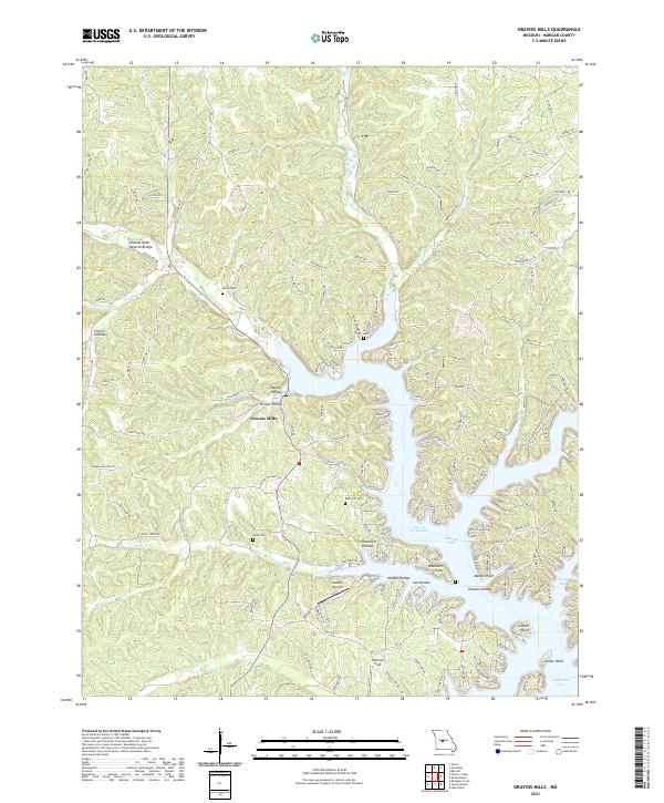 2021 Gravois Mills2021 Print · USGSThe Lake of the Ozarks shoreline near Gravois Mills is shown here in the early 2020s, revealing a complex landscape of winding coves and family-named hollows. Genealogists and local historians can locate several rural burial grounds like Ivy Cem and Hume Cem, alongside the Gravois Mills Natural Bridge.
End of results
Showing maps 1-19 of 19
Top cities near Gravois Mills
- Eldon historical maps
- Osage Beach historical maps
- Versailles historical maps
- Four Seasons historical maps
- Lake Ozark historical maps
- Stover historical maps
See more
Frequently asked questions
- What are the different types of historical maps available for Gravois Mills?
- What is the oldest map of Gravois Mills?
- Where can I purchase historical maps of Gravois Mills for my home or office?
- Where can I download high-res historical maps of Gravois Mills?
- Are there historical topographic maps available for Gravois Mills?
- Is there historical aerial imagery available for Gravois Mills?
- Where are historical maps of Gravois Mills sourced from?