Old Maps of Greer, Missouri for Genealogy
Trace your family roots with 13 historic maps of Greer. These high-res maps reveal old neighborhoods, homesites, landmarks, and streets — helping you uncover where your ancestors lived and how the area evolved over time.
- Explore historic neighborhoods: Identify where your relatives may have lived in the 1800s or 1900s.
- Compare maps over time: Trace the changes in streets, buildings, and landmarks for multi-generational research.
- Perfect for genealogy & ancestry research: Used by family historians and researchers to map out lineage and migration.
These maps are an incredible resource for exploring your personal connection to Greer's past.
Greer, MO maps
(13)- 1931 Map of Bandyville
 1931 Bandyville1931 Print · USGSThe Eleven Point River valley in the early 1930s remains a landscape of isolated rural townships and crossroads schools. Genealogists can trace family roots through sites like Falling Springs Cemetery, Hickory Grove Ch, and Bildad Sch.
 - 1944 Map of Birch Tree, 1962 Print
 1944 Birch Tree1962 Print · USGSShannon and Oregon Counties are shown in the mid-1940s, a landscape defined by the winding Eleven Point River and isolated Ozark settlements. Genealogists and historians can trace family roots through sites like Oak Forest Cem, Fair Grove Sch, and New Liberty.2 unique versions available
 - 1948 Map of Birch Tree
 1948 Birch Tree1948 Print · USGSThe Missouri Ozarks are documented here in the late 1940s, showing a landscape of state forests and spring-fed rivers. Local historians can trace family locations near New Liberty, Oak Forest Cem, and numerous rural schoolhouses like Spring Creek Sch.2 unique versions available
 - 1957 Map of Poplar Bluff, 1968 Print
 1957 Poplar Bluff1968 Print · USGSThe Missouri-Arkansas border region is captured here as the timber and rail industries shaped the Ozark foothills. Genealogists and historians can trace the Missouri Pacific Railroad through river towns like Pocahontas, Greenville, and Van Buren.3 unique versions available
 - 1959 Map of Poplar Bluff
 1959 Poplar Bluff1959 Print · USGSThe Missouri Ozarks and Arkansas borderlands meet in this late 1950s study of the region's diverse terrain and rail-fed towns. Researchers can trace the path of the Missouri Pacific Railroad through Poplar Bluff or locate smaller settlements like Birch Tree and Myrtle.
 - 1960 Map of Poplar Bluff
 1960 Poplar Bluff1960 Print · USGSSoutheast Missouri and Northeast Arkansas are captured here during the post-war era, showing the transition from the Ozark highlands to the Delta. Genealogists and historians can trace rail corridors like the St. Louis Southwestern RR and remote settlements such as Birch Tree and Warm Springs.
 - 1983 Map of Greer, 1984 Print
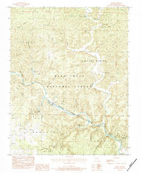 1983 Greer1984 Print · USGSOregon County in the early 1980s reveals a landscape of springs and deep hollows along the Eleven Point National Scenic River. Genealogists and local historians can trace family-named sites like Hall Cem, Carters Shop Hollow, and Thomasville.
 - 1984 Map of West Plains
 1984 West Plains1984 Print · USGSThe Missouri Ozarks are mapped here in the mid-1980s, centered on the regional hub of West Plains and the river corridors of the Eleven Point River. Trace the old rail lines and timber towns of Willow Springs, Mountain View, and Birch Tree through the Mark Twain National Forest.2 unique versions available
 - 1997 Map of Greer, 2000 Print
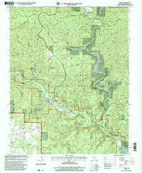 1997 Greer2000 Print · USGSOregon County is shown during the late 1990s as a haven of deep river hollows and cold-water springs within the Mark Twain National Forest. Genealogists and hikers can trace the Ozark Trail past Greer, old mills, and family sites like Saints Cemetery and Turners Mill.
 - 2011 Map of Greer, 2011 Print
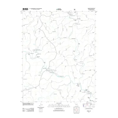 2011 Greer2011 Print · USGSThe Eleven Point River corridor in the Missouri Ozarks is captured here during a period of modern forest management and recreation. Genealogists and historians can trace family locations near Greer Mill, Saints Cemetery, and Turners Mill.
 - 2015 Map of Greer, 2015 Print
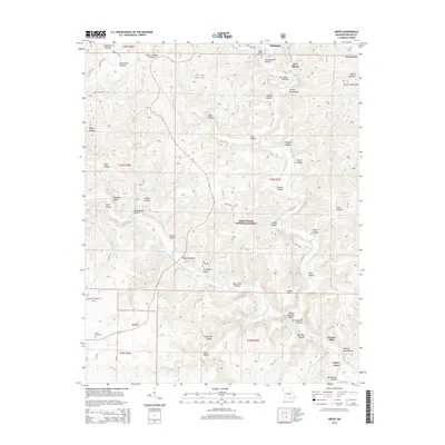 2015 Greer2015 Print · USGSOregon County is captured here in the mid-2010s, showing the intersection of Ozark wilderness and deep-rooted local history. Researchers can trace historic river-side sites like Turners Mill, family burial grounds at Hall Cemetery, and the famous flow of Greer Spring.
 - 2017 Map of Greer, 2017 Print
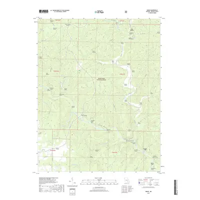 2017 Greer2017 Print · USGSOregon County in the Ozarks reveals a landscape of deep timber and spring-fed rivers during the twenty-first century. Genealogists and researchers can trace local family history through sites like Falling Spring Cem and the river-based settlement at Turners Mill.
 - 2021 Map of Greer, 2021 Print
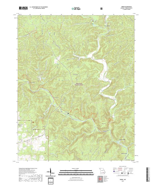 2021 Greer2021 Print · USGSOregon County is captured here in the early twenty-first century as the Eleven Point River winds through the Mark Twain National Forest. Researchers can trace rural heritage at Turners Mill, the Latter Day Saints Cem, and the old settlement at Greer.
End of results
Showing maps 1-13 of 13
Top cities near Greer
Frequently asked questions
- What are the different types of historical maps available for Greer?
- What is the oldest map of Greer?
- Where can I purchase historical maps of Greer for my home or office?
- Where can I download high-res historical maps of Greer?
- Are there historical topographic maps available for Greer?
- Is there historical aerial imagery available for Greer?
- Where are historical maps of Greer sourced from?