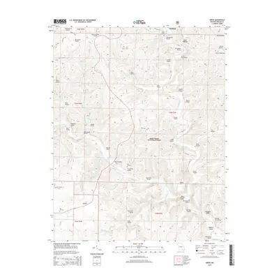
2015 Map of Greer
USGS Topo · Published 2015About this map
Turners Mill and the settlement of Greer anchor this survey of the northern Ozarks, where the Eleven Point River carves through a landscape defined by springs and hollows. The area is heavily marked by its water resources, most notably the massive flow from Greer Spring and the recreational waters of McCormack Lake. Deep within the Mark Twain National Forest, the map reveals a history of isolated communities and family sites, evidenced by numerous named cemeteries such as Saints Cemetery, Ross Cemetery, and Falling Spring Cemetery. The topography is a complex network of drainage systems like Thomasville Hollow and Douglas Hollow, while landmarks such as Brawley Bluff and McFry Ford indicate how early residents navigated this terrain. The distribution of sites like Carters Shop Hollow and Van Winkle Hollow suggests a legacy of local industry and homesteading tucked into the narrow valleys of Oregon County.
Find a feature on this map
79 named features on this map. Tap any name to fly to it.
Don’t see what you’re looking for? This feature index may not catch every label — zoom into the map to look around manually.
Map Details
Editions of this 2015 Greer Map
This is the sole edition of this map. No revisions or reprints were ever made.
Other maps of this area
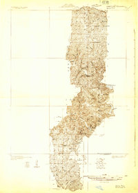
1931 · Bandyville
USGS Topo · 1:48,000
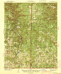
1941 · Gatewood
USGS Topo · 1:62,500
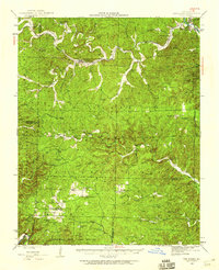
1944 · Van Buren
USGS Topo · 1:62,500
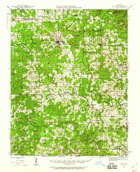
1944 · Couch
USGS Topo · 1:62,500
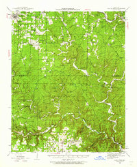
1944 · Birch Tree
USGS Topo · 1:62,500
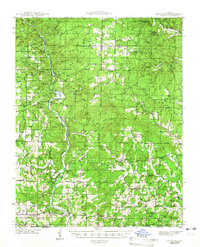
1945 · Gatewood
USGS Topo · 1:62,500
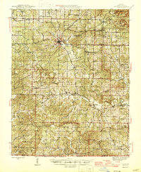
1946 · Couch
USGS Topo · 1:62,500
1946 · Van Buren
USGS Topo · 1:62,500
1948 · Birch Tree
USGS Topo · 1:62,500

1957 · Poplar Bluff
USGS Topo · 1:250,000