Old Maps of Chamois, Missouri for Metal Detecting
Plan your next treasure hunt with 13 historic maps of Chamois. Find old homesites, ghost towns, trails, and gathering spots that may be lost to time — perfect for identifying promising metal detecting locations.
- Locate forgotten sites: Uncover places like long-lost settlements, abandoned rail lines, or gathering spots.
- Plan better hunts: Use map overlays combined with LiDAR or satellite views to narrow in on historically rich areas.
- Made for detectorists: Thousands of hobbyists use these maps to discover relics, coins, and hidden history.
Use these historic maps to boost your research and find new opportunities beneath the surface of Chamois.
Chamois, MO maps
(13)- 1890 Map of Fulton
 1890 Fulton1890 Print · USGSMid-Missouri river life and railroad expansion come into focus in this late nineteenth-century survey. Genealogists and historians can trace old township lines and early river towns like Chamois, Danville, and the bustling county seat at Fulton.5 unique versions available
 - 1945 Map of Mokane
 1945 Mokane1945 Print · USGSThe Missouri River valley near the Osage confluence comes alive in this mid-forties survey, showing a landscape defined by river-rail commerce and rural townships. Genealogists can trace family footprints at Frankenstein, Bonnots Mill, and numerous rural sites like Metabor Cem or Acorn Sch.3 unique versions available
 - 1949 Map of Saint Louis
 1949 Saint Louis1949 Print · USGSGreater St. Louis and its surrounding river valleys are captured here just after the war, showing the metropolitan core and the rural Ozark fringe. Researchers can trace the sprawling rail network of the Wabash RR or locate landmarks like Meramec Caverns Airport and Scott Air Force Base.2 unique versions available
 - 1962 Map of St. Louis
 1962 St. Louis1962 Print · USGSThe mid-century gateway to the west shows the metropolitan expansion of St Louis alongside its critical river confluences. Genealogists and historians can trace the rail corridors of the Missouri Pacific RR and settlements from Fulton to De Soto.
 - 1963 Map of St. Louis, 1970 Print
 1963 St. Louis1970 Print · USGSSt. Louis and its surrounding river valleys are captured here during the peak of mid-century suburban expansion and industrial activity. Trace the historic rail routes of the Norfolk and Western Ry or locate the St Louis Ordnance Plant and early stretches of US Highway 66.4 unique versions available
 - 1966 Map of St. Louis
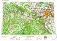 1966 St. Louis1966 Print · USGSThe St. Louis metropolitan area and its surrounding river valleys are captured here during the mid-sixties era of suburban growth and industrial strength. Genealogists and historians can trace the foundations of local communities through sites like Old Pioneer Cem, Parks College, and the Jefferson Barracks Military Reservation.
 - 1975 Map of Mokane East, 1977 Print
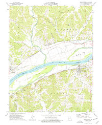 1975 Mokane East1977 Print · USGSThe Missouri River corridor in the mid-seventies shows a landscape defined by rail and river transport between Callaway and Osage counties. Genealogists can locate family landmarks like Hughes Cem and Stoner Cem or the riverside community of Chamois.2 unique versions available
 - 1985 Map of Fulton
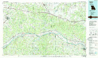 1985 Fulton1985 Print · USGSMid-Missouri was a hub of river commerce and rail travel in the mid-1980s, where towns like Fulton and Hermann anchored the river valley. Researchers can trace historic river islands like Rush Island or follow the path of the Missouri - Kansas - Texas Railroad.2 unique versions available
 - 2000 Map of Mokane East, 2003 Print
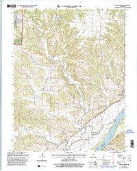 2000 Mokane East2003 Print · USGSCallaway County at the turn of the millennium shows a landscape shaped by the Missouri River and the conversion of the old rail corridor. Local researchers can trace family sites at Middle River Cem, explore the community at Mokane, and locate old landmarks like Browns Ford.
 - 2012 Map of Mokane East, 2012 Print
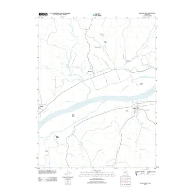 2012 Mokane East2012 Print · USGSThe Missouri River floodplain comes to life in the early 2010s, showcasing the intricate relationship between the river and the towns of Chamois and Mokane. Genealogists and local researchers can trace family plots at Bode Cemetery and Lawrence Cemetery or explore the river islands like Saint Aubert Island.
 - 2015 Map of Mokane East, 2015 Print
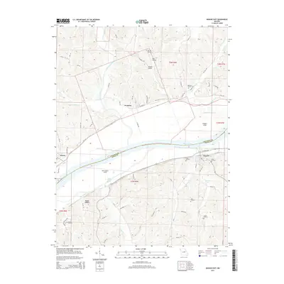 2015 Mokane East2015 Print · USGSThe Missouri River valley at the Callaway and Osage county border shows a landscape defined by river islands and hillside settlements. Researchers can trace local genealogy through numerous burial sites like Stoner Cemetery and Hughes Cemetery or follow the Katy Trl past Mokane.
 - 2017 Map of Mokane East, 2017 Print
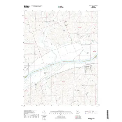 2017 Mokane East2017 Print · USGSThe Missouri River corridor in the 2010s shows a landscape of riverfront settlements and rural family cemeteries. Researchers can trace land patterns near Chamois and Mokane, or locate sites like Stoner Cem and Hughes Cem tucked among the hollows.
 - 2021 Map of Mokane East, 2021 Print
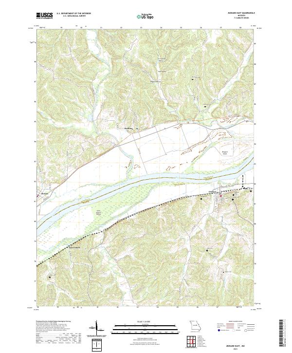 2021 Mokane East2021 Print · USGSMissouri River communities and island geography are documented here just after the turn of the decade. Genealogists can locate family sites like Riverview Cem and Bode Cem or trace the riverfronts of Chamois and Saint Aubert.
End of results
Showing maps 1-13 of 13
Top cities near Chamois
- Fulton historical maps
- Linn historical maps
- Gasconade historical maps
- Mokane historical maps
- Morrison historical maps
Frequently asked questions
- What are the different types of historical maps available for Chamois?
- What is the oldest map of Chamois?
- Where can I purchase historical maps of Chamois for my home or office?
- Where can I download high-res historical maps of Chamois?
- Are there historical topographic maps available for Chamois?
- Is there historical aerial imagery available for Chamois?
- Where are historical maps of Chamois sourced from?