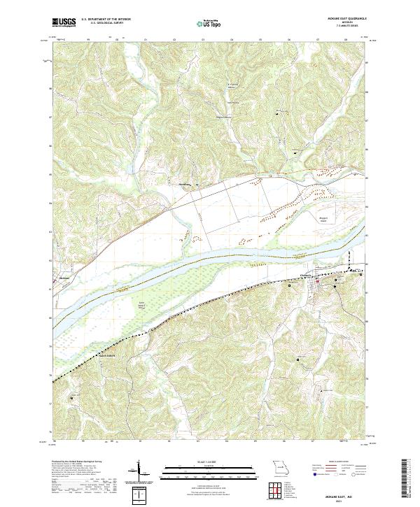
2021 Map of Mokane East
USGS Topo · Published 2021About this map
Missouri River navigation and bottomland geography define this corridor where Callaway and Osage counties meet. The river channel is marked by significant landforms like Saint Aubert Island and Binggeli Island, flanked by complex water features such as the Saint Aubert Chute and Muddy Device Chute. Along the northern banks, the Katy Trl follows the old rail corridor through Mokane and Steedman, while the southern shore is home to the riverside community of Chamois. The interior landscape is dotted with small family and community burial grounds, including Riverview Cem and Lawrence Cem on the north side, and Shobe Cem and Stoner Cem near the river bluffs. These sites, along with the numerous creeks like Auxvasse Creek and Dooling Cr, reveal a settlement pattern deeply tied to the river's drainage and the fertile but flood-prone valley floor.
Find a feature on this map
75 named features on this map. Tap any name to fly to it.
Don’t see what you’re looking for? This feature index may not catch every label — zoom into the map to look around manually.
Map Details
Editions of this 2021 Mokane East Map
This is the sole edition of this map. No revisions or reprints were ever made.
Other maps of this area

1890 · Fulton
USGS Topo · 1:125,000

1928 · Fulton
USGS Topo · 1:62,500

1931 · Fulton
USGS Topo · 1:62,500

1935 · Morrison
USGS Topo · 1:48,000

1940 · Montgomery City
USGS Topo · 1:62,500

1942 · Montgomery City
USGS Topo · 1:62,500

1942 · Morrison
USGS Topo · 1:62,500

1945 · Mokane
USGS Topo · 1:62,500

1945 · Morrison
USGS Topo · 1:62,500

1949 · Saint Louis
USGS Topo · 1:250,000