
1945 Map of Mokane
USGS Topo · Published 1945About this map
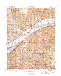
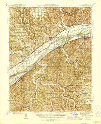
The Missouri River corridor dominates this 1940s landscape, serving as the dividing line between Callaway and Osage counties. Along the northern bank, the Missouri Pacific RR connects riverside settlements like Mokane and Tebbetts, while the southern shore is marked by the rugged bluffs of the Osage River confluence. The map preserves the locations of numerous rural institutions that supported these agrarian communities, including the Cottonrock Sch and the Oakley Ch.
Find a feature on this map
67 named features on this map. Tap any name to fly to it.
Don’t see what you’re looking for? This feature index may not catch every label — zoom into the map to look around manually.
Map Details
Editions of this 1945 Mokane Map
3 editions found
Other maps of this area

1886 · Jefferson City
USGS Topo · 1:125,000

1888 · Tuscumbia
USGS Topo · 1:125,000

1890 · Fulton
USGS Topo · 1:125,000

1894 · Tuscumbia
USGS Topo · 1:125,000

1894 · Jefferson City
USGS Topo · 1:125,000

1928 · Fulton
USGS Topo · 1:62,500

1931 · Fulton
USGS Topo · 1:62,500

1934 · Linn
USGS Topo · 1:48,000

1934 · Bland
USGS Topo · 1:62,500

1935 · Morrison
USGS Topo · 1:48,000