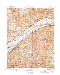
1945 Map of Mokane
USGS Topo · Published 1945About this map
The confluence of the Missouri River and Osage River dominates this mid-century landscape, a region defined by river navigation and rail transport. The Missouri Pacific line skirts the northern bank, connecting river towns like Mokane and Tebbetts, while the village of Chamois sits on the southern shore in Osage County. This area shows a dense network of rural infrastructure, with numerous one-room schoolhouses such as Holman Sch and Acorn Sch serving the farming communities tucked into the valleys of Auxvasse Creek and Middle River.
Find a feature on this map
69 named features on this map. Tap any name to fly to it.
Don’t see what you’re looking for? This feature index may not catch every label — zoom into the map to look around manually.
Map Details
Editions of this 1945 Mokane Map
3 editions found

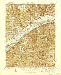
Other maps of this area

1886 · Jefferson City
USGS Topo · 1:125,000

1888 · Tuscumbia
USGS Topo · 1:125,000

1890 · Fulton
USGS Topo · 1:125,000

1894 · Tuscumbia
USGS Topo · 1:125,000

1894 · Jefferson City
USGS Topo · 1:125,000

1928 · Fulton
USGS Topo · 1:62,500

1931 · Fulton
USGS Topo · 1:62,500

1934 · Linn
USGS Topo · 1:48,000

1934 · Bland
USGS Topo · 1:62,500

1935 · Morrison
USGS Topo · 1:48,000