2000s (21st Century) Maps of Pemiscot County, Missouri
Explore 82 historic maps of Pemiscot County from the 2000s (21st Century). These maps offer a rare glimpse into what life looked like during the 2000s — showing old roads, neighborhoods, homes, and landmarks that have changed or disappeared over time.
Whether you're researching your family's past, planning a metal detecting trip, or studying how Pemiscot County's landscape evolved across the 2000s, these high-resolution maps are a powerful tool for exploring the history of this region.
- Focus on a specific era: All maps on this page are from the 2000s, giving you a focused view of this time period.
- See what’s changed: Compare century-old streets, trails, and buildings to today's modern landscape using overlays and satellite layers.
- Research with precision: Use these maps for genealogy, historical research, land use analysis, or educational projects.
- View, download, or print: Maps are fully viewable online in high resolution, and can be downloaded or printed for your own records.
Start exploring Pemiscot County's history through authentic maps from the 2000s. This is your window into the past.
Pemiscot County, MO maps
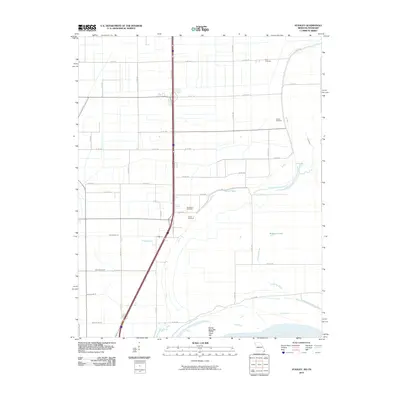
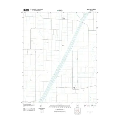
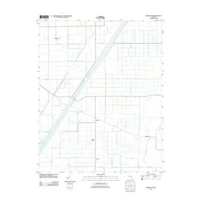
(82)- 2010 Map of Tennemo, 2010 Print
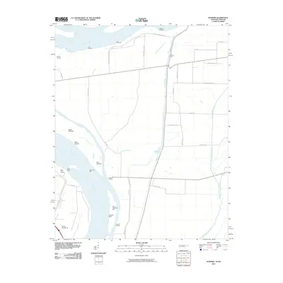 2010 Tennemo2010 Print · USGSCovers Pemiscot County, including Cottonwood Grove, Tennemo, and other nearby areas
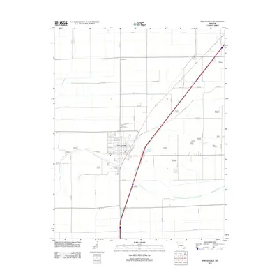
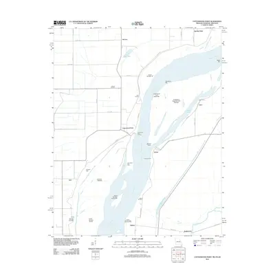
 - 2010 Map of Caruthersville, 2010 Print
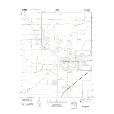
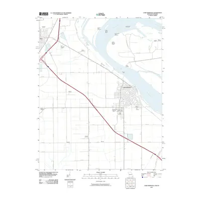 2010 Caruthersville2010 Print · USGSCovers Pemiscot County, including Caruthersville, Hayti, and other nearby areas
 - 2010 Map of Mooring, 2010 Print
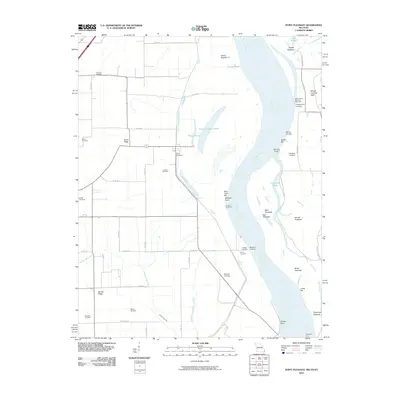
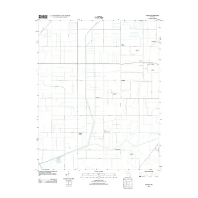
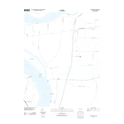
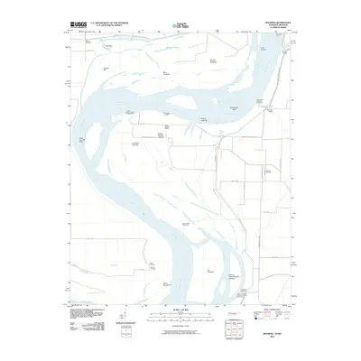 2010 Mooring2010 Print · USGSCovers Pemiscot County, including Tiptonville, Kennedy, and other nearby areas
 - 2010 Map of Caruthersville SE, 2010 Print
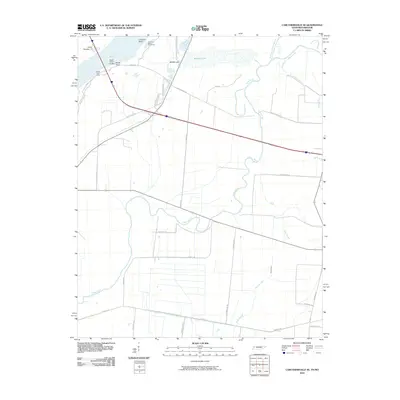 2010 Caruthersville SE2010 Print · USGSCovers Pemiscot County, including Tylersville, Mengelwood, and other nearby areas
 - 2010 Map of Stanley, 2010 Print
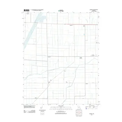
 2010 Stanley2010 Print · USGSCovers Pemiscot County, including Gayoso, Brent, and other nearby areas
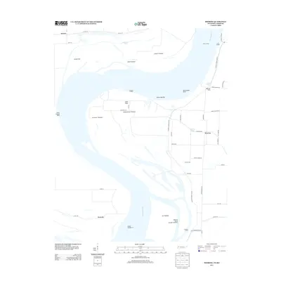
 - 2010 Map of Point Pleasant, 2010 Print
 2010 Point Pleasant2010 Print · USGSCovers Pemiscot County, including Linda, Point Pleasant, and other nearby areas
 - 2011 Map of Armorel, 2011 Print
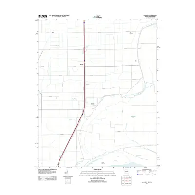
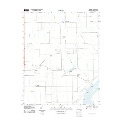 2011 Armorel2011 Print · USGSCovers Pemiscot County, including Blytheville, Barfield, and other nearby areas
 - 2011 Map of Cottonwood Point, 2011 Print
 2011 Cottonwood Point2011 Print · USGSCovers Pemiscot County, including Ayers, Heloise, and other nearby areas
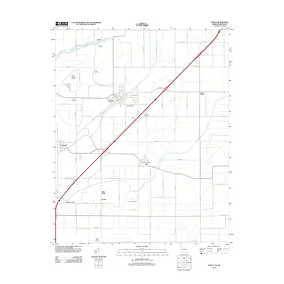
 - 2011 Map of Steele, 2011 Print
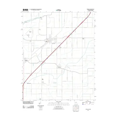 2011 Steele2011 Print · USGSCovers Pemiscot County, including Steele, Cooter, and other nearby areas
 - 2011 Map of Blytheville, 2011 Print
 2011 Blytheville2011 Print · USGSCovers Pemiscot County, including Blytheville, Gosnell, and other nearby areas
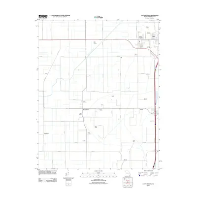
 - 2012 Map of Caruthersville, 2012 Print
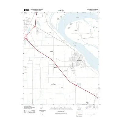 2012 Caruthersville2012 Print · USGSCovers Pemiscot County, including Caruthersville, Hayti, and other nearby areas
 - 2012 Map of Stanley, 2012 Print
 2012 Stanley2012 Print · USGSCovers Pemiscot County, including Gayoso, Brent, and other nearby areas
 - 2012 Map of Point Pleasant, 2012 Print
 2012 Point Pleasant2012 Print · USGSCovers Pemiscot County, including Linda, Point Pleasant, and other nearby areas
 - 2012 Map of Bragg City, 2012 Print
 2012 Bragg City2012 Print · USGSCovers Pemiscot County, including Bragg City, Gidson, and other nearby areas
 - 2012 Map of Gideon, 2012 Print
 2012 Gideon2012 Print · USGSCovers Pemiscot County, including Clarkton, Gideon, and other nearby areas
 - 2012 Map of Portageville, 2012 Print
 2012 Portageville2012 Print · USGSCovers Pemiscot County, including Jaywye, De Lisle, and other nearby areas
 - 2012 Map of Hayti Heights, 2012 Print
 2012 Hayti Heights2012 Print · USGSCovers Pemiscot County, including Hayti, Hayti Heights, and other nearby areas
 - 2012 Map of Denton, 2012 Print
 2012 Denton2012 Print · USGSCovers Pemiscot County, including Samford, Channel, and other nearby areas
 - 2012 Map of Cottonwood Point, 2012 Print
 2012 Cottonwood Point2012 Print · USGSCovers Pemiscot County, including Ayers, Heloise, and other nearby areas
 - 2012 Map of Steele, 2012 Print
 2012 Steele2012 Print · USGSCovers Pemiscot County, including Steele, Cooter, and other nearby areas
 - 2012 Map of Deering, 2012 Print
 2012 Deering2012 Print · USGSCovers Pemiscot County, including Oakville, Deco, and other nearby areas
 - 2012 Map of Boekerton, 2012 Print
 2012 Boekerton2012 Print · USGSCovers Pemiscot County, including Tallapoosa, New Garver, and other nearby areas
 - 2012 Map of Wardell, 2012 Print
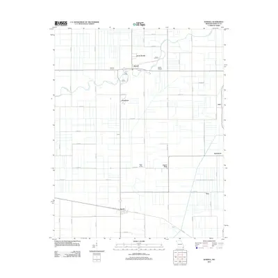 2012 Wardell2012 Print · USGSCovers Pemiscot County, including Wardell, Homestown, and other nearby areas
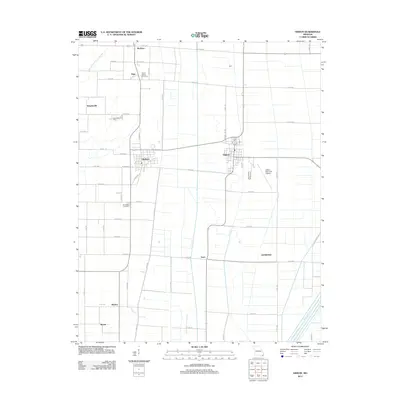
 - 2013 Map of Tennemo, 2013 Print
 2013 Tennemo2013 Print · USGSCovers Pemiscot County, including Cottonwood Grove, Tennemo, and other nearby areas
 - 2013 Map of Mooring, 2013 Print
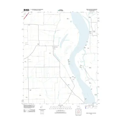
 2013 Mooring2013 Print · USGSCovers Pemiscot County, including Tiptonville, Kennedy, and other nearby areas
Showing maps 1-25 of 82
Top cities of Pemiscot County
- Caruthersville historical maps
- Hayti historical maps
- Steele historical maps
- Hayti Heights historical maps
- Cooter historical maps
- Wardell historical maps
See more
Frequently asked questions
- What are the different types of historical maps available for Pemiscot County?
- What is the oldest map of Pemiscot County?
- Where can I purchase historical maps of Pemiscot County for my home or office?
- Where can I download high-res historical maps of Pemiscot County?
- Are there historical topographic maps available for Pemiscot County?
- Is there historical aerial imagery available for Pemiscot County?
- Where are historical maps of Pemiscot County sourced from?