2010s Maps of Pemiscot County, Missouri
Explore 62 historic maps of Pemiscot County from the 2010s. These maps offer a rare glimpse into what life looked like during the 2010s — showing old roads, neighborhoods, homes, and landmarks that have changed or disappeared over time.
Whether you're researching your family's past, planning a metal detecting trip, or studying how Pemiscot County's landscape evolved across the 2010s, these high-resolution maps are a powerful tool for exploring the history of this region.
- Focus on a specific era: All maps on this page are from the 2010s, giving you a focused view of this time period.
- See what’s changed: Compare century-old streets, trails, and buildings to today's modern landscape using overlays and satellite layers.
- Research with precision: Use these maps for genealogy, historical research, land use analysis, or educational projects.
- View, download, or print: Maps are fully viewable online in high resolution, and can be downloaded or printed for your own records.
Start exploring Pemiscot County's history through authentic maps from the 2010s. This is your window into the past.
Pemiscot County, MO maps
(62)- 2010 Map of Tennemo, 2010 Print
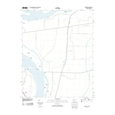 2010 Tennemo2010 Print · USGSIn the early twenty-first century, the Tennessee-Missouri borderlands remained a landscape defined by the shifting currents of the great river. Genealogists and river historians can trace the locations of old shoreline hubs like Tennemo Landing, Bells Point Landing, and Island Number 16.
 - 2010 Map of Caruthersville, 2010 Print
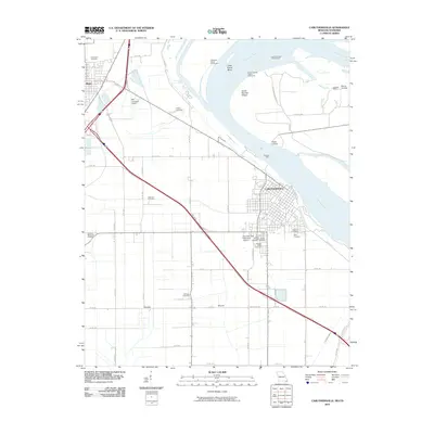 2010 Caruthersville2010 Print · USGSIn the Missouri Bootheel during the early 21st century, Caruthersville serves as a vital river port along the Mississippi River. Genealogists and local historians can trace family burial sites at Little Prairie Cemetery or Patterson Cemetery, and locate river landmarks like Powells Ferry.
 - 2010 Map of Mooring, 2010 Print
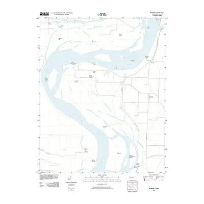 2010 Mooring2010 Print · USGSThe riverfront landings and floodplain cemeteries of the Tennessee-Missouri border are documented here in the early twenty-first century. Researchers can trace family history at Mooring Cemetery or locate old river access points like Riley Landing and Crenshaw Landing.
 - 2010 Map of Caruthersville SE, 2010 Print
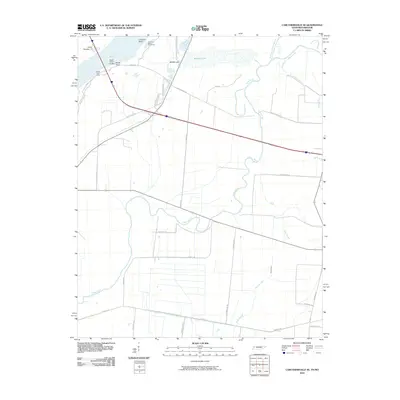 2010 Caruthersville SE2010 Print · USGSThe Tennessee-Missouri borderlands along the Mississippi River are shown here in the early twenty-first century, defined by dynamic waterways and river engineering. Genealogists and local historians can trace family-named routes and river features like Booth Point Landing, Island Number 17, and Yarbro Rd.
 - 2010 Map of Stanley, 2010 Print
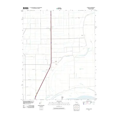 2010 Stanley2010 Print · USGSPemiscot County at the start of the twenty-first century shows a landscape defined by the Mississippi River and its managed drainage. Genealogists can locate family burial sites at Dry Bayou Cemetery and Averill Cemetery near the banks of Robinson Bayou.
 - 2010 Map of Point Pleasant, 2010 Print
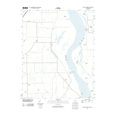 2010 Point Pleasant2010 Print · USGSThe Missouri Bootheel and the Mississippi River banks are captured here at the turn of the millennium. Genealogists can trace family heritage at Le Sieur Cemetery and Yount Cemetery, or locate old river access points like Batesell Landing and the Tiptonville Ferry.
 - 2011 Map of Armorel, 2011 Print
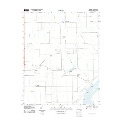 2011 Armorel2011 Print · USGSMississippi County at the start of the twenty-first century reveals a landscape defined by industrial drainage and riverfront life. Genealogists and local historians can trace family sites from Promised Land to the African Methodist Episcopal Cemetery and the uniquely named Number Nine.
 - 2011 Map of Cottonwood Point, 2011 Print
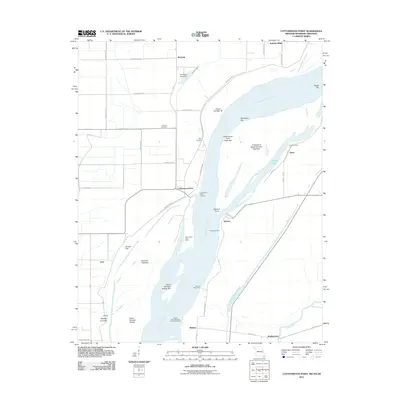 2011 Cottonwood Point2011 Print · USGSThe tri-state riverlands of Missouri, Tennessee, and Arkansas are shown here during the early twenty-first century as the Mississippi continues to shape the local geography. Researchers can trace riverside heritage at Cottonwood Point, locate the Taylor Cemetery, and explore historic water access points like Ayers Landing.
 - 2011 Map of Steele, 2011 Print
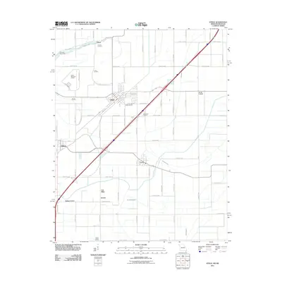 2011 Steele2011 Print · USGSThe Missouri Bootheel borderlands come into focus at a time when the region's agricultural and drainage networks were fully established. Genealogists and local historians can trace family locations through numerous sites like Hopkins Cemetery, Holley Cemetery, and Acorn Corner.
 - 2011 Map of Blytheville, 2011 Print
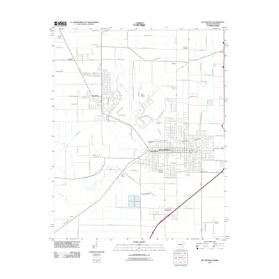 2011 Blytheville2011 Print · USGSBlytheville and the surrounding Delta farm country are shown here in the early twenty-first century, featuring a landscape defined by an extensive drainage ditch network. Researchers can locate numerous local burial grounds including Lane Cemetery and North Sawba Cemetery, or trace the prehistoric Chickasawba Mound.
 - 2012 Map of Caruthersville, 2012 Print
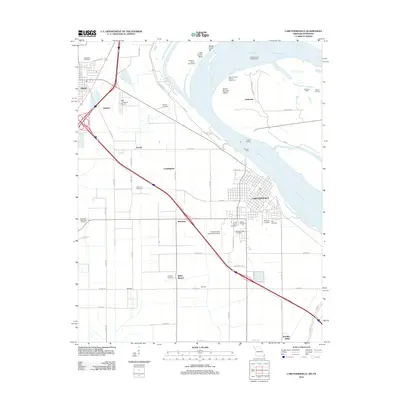 2012 Caruthersville2012 Print · USGSThe Missouri Bootheel near the Mississippi River comes into focus during the early twenty-first century, showing a landscape of river engineering and ancestral sites. Researchers can trace family names at Morgan Ridge Cemetery or investigate local landmarks like Kinfolks Ridge and the Indian Mound.
 - 2012 Map of Stanley, 2012 Print
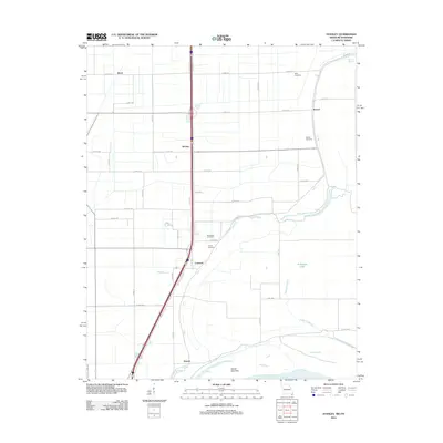 2012 Stanley2012 Print · USGSThe Missouri bootheel along the Mississippi River is documented here just after the turn of the millennium. Local historians can trace family roots through several small burial sites like Ross Cemetery and Averill Cemetery or locate the quiet settlements of Gayoso and Stanley.
 - 2012 Map of Point Pleasant, 2012 Print
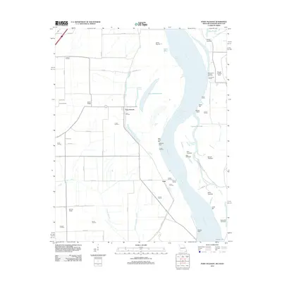 2012 Point Pleasant2012 Print · USGSThe Missouri bootheel and Mississippi River bottoms are shown in detail during the early 2010s, revealing a landscape of chutes, bars, and ridges. Genealogists can locate numerous local burial sites like Creviosur Cemetery and Girvin Cemetery or trace the riverbank at Point Pleasant.
 - 2012 Map of Bragg City, 2012 Print
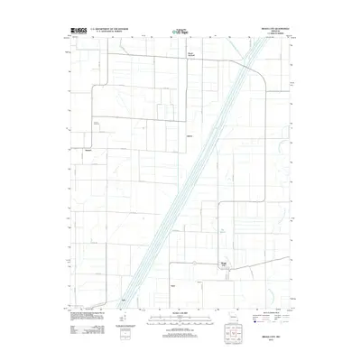 2012 Bragg City2012 Print · USGSPemiscot County agriculture and water management are on full display here in the early twenty-first century. Genealogists and local historians can trace the grid of rural settlements from Sumach to Bragg City, alongside features like Sumach Cemetery and the Little River.
 - 2012 Map of Gideon, 2012 Print
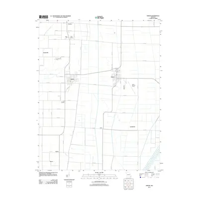 2012 Gideon2012 Print · USGSDunklin County is shown here in the early twenty-first century, revealing an engineered landscape of drainage ditches and rural settlements. Genealogists and local historians can locate Mount Gilead Cemetery, the community of Clarkton, and the Gideon Memorial Airport.
 - 2012 Map of Portageville, 2012 Print
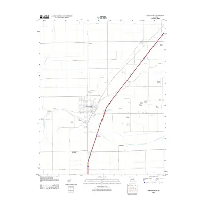 2012 Portageville2012 Print · USGSNew Madrid County in the early 21st century maintains a deep connection to its agricultural roots and ancestral lands. Researchers can trace family history through over a dozen rural burial grounds including Meatte and Arbuckle, or locate old settlements like Jaywye and De Lisle.
 - 2012 Map of Hayti Heights, 2012 Print
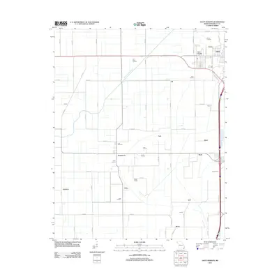 2012 Hayti Heights2012 Print · USGSPemiscot County's agricultural heartland is documented here in the early twenty-first century, showing the settlement patterns of the Missouri Bootheel. Researchers can trace numerous rural burial sites like Morgan Cemetery and Hatley Cemetery or locate old junctions like Canady Switch.
 - 2012 Map of Denton, 2012 Print
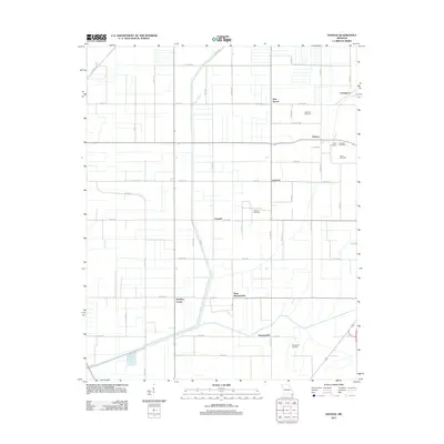 2012 Denton2012 Print · USGSPemiscot County in the early 21st century shows a landscape defined by an intricate network of drainage canals and rural crossroads. Local historians can trace family roots through several burial sites like Lester Cemetery and Samford Cemetery or locate the small communities of Denton and Hermondale.
 - 2012 Map of Cottonwood Point, 2012 Print
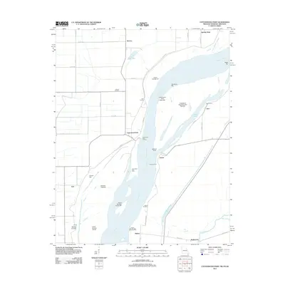 2012 Cottonwood Point2012 Print · USGSThe tri-state riverlands of Tennessee, Missouri, and Arkansas are shown here in the early twenty-first century, centered on the shifting bends of the Mississippi River. Researchers can trace old family burial grounds at Hickman Cemetery and riverfront heritage at Cottonwood Point Landing and Heloise.
 - 2012 Map of Steele, 2012 Print
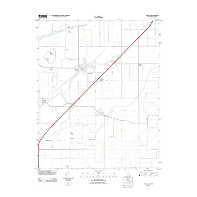 2012 Steele2012 Print · USGSThe Missouri Bootheel is shown here in the early twenty-first century, a landscape of organized agriculture and drainage. Genealogists and local historians can locate numerous burial sites such as Barnard Cemetery and trace settlements like Holland and Cooter.
 - 2012 Map of Deering, 2012 Print
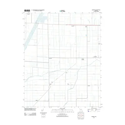 2012 Deering2012 Print · USGSThe Missouri Bootheel near Deering is captured here in the early twenty-first century, showing a landscape defined by drainage and agriculture. Local historians can trace family roots at Rising Star Cemetery or locate smaller settlements like Gobler and Tinkerville.
 - 2012 Map of Boekerton, 2012 Print
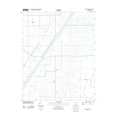 2012 Boekerton2012 Print · USGSThe Missouri Bootheel's agricultural heartland is on full display in the early twenty-first century, showing a landscape shaped by massive drainage projects. Genealogists and local historians can trace the rural layout of Boekerton, Garver, and Hartzell along the banks of Ditch Number 1.
 - 2012 Map of Wardell, 2012 Print
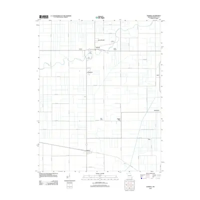 2012 Wardell2012 Print · USGSPemiscot County's agricultural Bootheel is shown here at the start of the 2010s, revealing a landscape of drainage-fed fields and rural townships. Genealogists can locate several family and community burial grounds, including Rowe Cemetery, Warren Cemetery, and Saint Paul Cemetery.
 - 2013 Map of Tennemo, 2013 Print
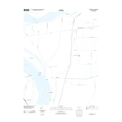 2013 Tennemo2013 Print · USGSThe West Tennessee riverfront and the community of Tennemo are captured here in the early twenty-first century. Genealogists and local historians can trace the network of old river landings and bayous, including Tennemo Landing, Owl Hoot, and Blue Bank Bayou.
 - 2013 Map of Mooring, 2013 Print
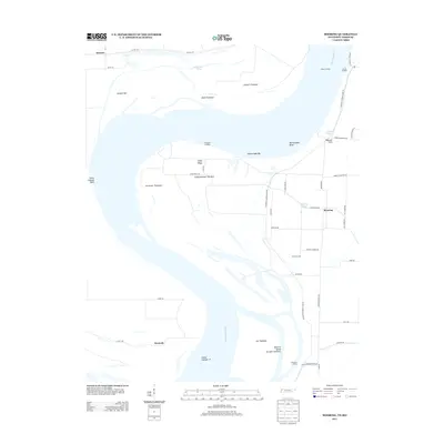 2013 Mooring2013 Print · USGSThe Mississippi River floodplain comes into sharp focus in the early 2010s, illustrating the intricate levee systems and landings of Lake County. Researchers can trace the legacy of river commerce through landmarks like Mooring, Island Number 14, and Cherokee Landing.
Showing maps 1-25 of 62
Top cities of Pemiscot County
- Caruthersville historical maps
- Hayti historical maps
- Steele historical maps
- Hayti Heights historical maps
- Cooter historical maps
- Wardell historical maps
See more
Frequently asked questions
- What are the different types of historical maps available for Pemiscot County?
- What is the oldest map of Pemiscot County?
- Where can I purchase historical maps of Pemiscot County for my home or office?
- Where can I download high-res historical maps of Pemiscot County?
- Are there historical topographic maps available for Pemiscot County?
- Is there historical aerial imagery available for Pemiscot County?
- Where are historical maps of Pemiscot County sourced from?