Old Maps of De Lisle, Missouri for Academic Research
Study the evolution of De Lisle with 10 high-resolution historic maps. Whether you're teaching, researching, or modeling changes in land use, these maps provide essential visual documentation of urban, environmental, and geographic change.
- Analyze long-term change: Track patterns in development, transportation, and natural features.
- Ideal for environmental or urban studies: Support academic projects with primary historical map data.
- Use in the classroom or lab: Educators and researchers rely on these maps to bring historical context to life.
These maps are a powerful tool for teaching, research, and visualizing how De Lisle has changed over the decades.
De Lisle, MO maps
(10)- 1939 Map of Portageville, 1941 Print
 1939 Portageville1941 Print · USGSThe Missouri Bootheel meets the winding Mississippi River in the 1930s, showing a landscape defined by drainage bayous and new rail towns. Genealogists can locate family landmarks like Branham Cem and numerous rural schoolhouses including Walnut Grove Sch and Stanley Sch.2 unique versions available
 - 1955 Map of Portageville
 1955 Portageville1955 Print · USGSThe Missouri Bootheel and Tennessee borderlands are captured here in the mid-fifties, showing a landscape shaped by the Mississippi River. Researchers can trace old rural schoolhouses like LaFont Sch, family burial grounds such as Darnell Cem, and the rail-side growth of Portageville.
 - 1956 Map of Dyersburg, 1960 Print
 1956 Dyersburg1960 Print · USGSThe Four Rivers region comes alive in the mid-fifties, capturing the intricate borderlands of Tennessee, Kentucky, and Missouri. Genealogists and historians can trace the rail-and-river networks connecting Dyersburg, Caruthersville, and the shoreline of Reelfoot Lake.4 unique versions available
 - 1971 Map of Portageville, 1973 Print
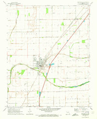 1971 Portageville1973 Print · USGSThe Missouri Bootheel landscape in the early 1970s shows the highly developed drainage and rail infrastructure of New Madrid County. Researchers can locate numerous family burial grounds like Meatte Cem and trace the paths of the St Louis-San Francisco railroad through Portageville and Jaywye.2 unique versions available
 - 1973 Map of Portageville
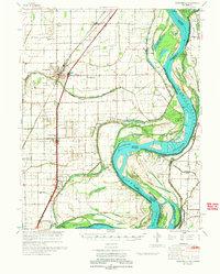 1973 Portageville1973 Print · USGSThe Missouri Bootheel near Portageville was a landscape of intensive drainage and river commerce in the early seventies. Genealogists and local historians can trace family burial sites like Kimes Cem and rural landmarks such as North Pemiscot Sch.
 - 1983 Map of Dyersburg
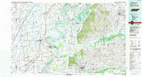 1983 Dyersburg1983 Print · USGSSpanning the Mississippi River at the start of the 1980s, this area shows the vital river-and-rail connections between Tennessee and Missouri. Researchers can trace family sites at Mount Pisgah Cemetery or study the evolving shoreline near Caruthersville and Reelfoot Lake.
 - 2012 Map of Portageville, 2012 Print
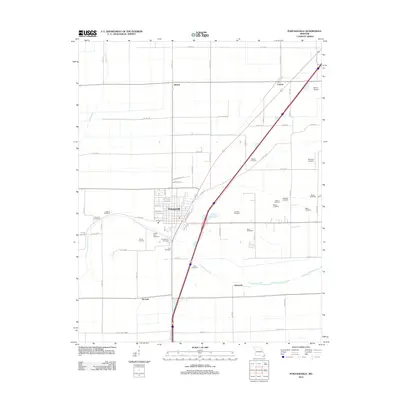 2012 Portageville2012 Print · USGSNew Madrid County in the early 21st century maintains a deep connection to its agricultural roots and ancestral lands. Researchers can trace family history through over a dozen rural burial grounds including Meatte and Arbuckle, or locate old settlements like Jaywye and De Lisle.
 - 2015 Map of Portageville, 2015 Print
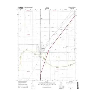 2015 Portageville2015 Print · USGSPortageville and its surrounding rural townships are shown here in the mid-2010s, revealing a landscape defined by intensive agriculture and drainage canals. Researchers can locate numerous family-named burial grounds like Atkinson Cemetery and Watson Cemetery or trace the path of Portage Open Bay.
 - 2017 Map of Portageville, 2017 Print
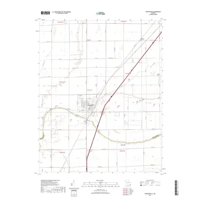 2017 Portageville2017 Print · USGSThe Missouri Bootheel town of Portageville is shown here in the late twenty-tens, surrounded by the agricultural heart of New Madrid County. Researchers can trace the layout of rural communities like Jaywye and Hayward or locate family burial sites at Smith Ellis Cem and Arbuckle Cem.
 - 2021 Map of Portageville, 2021 Print
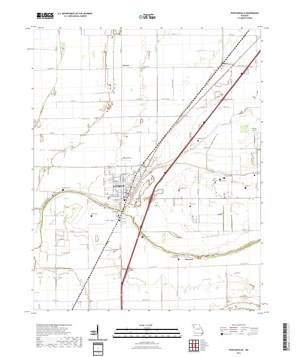 2021 Portageville2021 Print · USGSThe Missouri Bootheel near the Pemiscot County line is shown here in the early twenty-first century, centered on the grid of Portageville. Genealogists can locate over a dozen burial sites including Smith-Ellis Cem, Arbuckle Cem, and the Alley- Black Cem.
End of results
Showing maps 1-10 of 10
Top cities near De Lisle
- Caruthersville historical maps
- Tiptonville historical maps
- New Madrid historical maps
- Hayti historical maps
- Ridgely historical maps
- Lilbourn historical maps
See more
Frequently asked questions
- What are the different types of historical maps available for De Lisle?
- What is the oldest map of De Lisle?
- Where can I purchase historical maps of De Lisle for my home or office?
- Where can I download high-res historical maps of De Lisle?
- Are there historical topographic maps available for De Lisle?
- Is there historical aerial imagery available for De Lisle?
- Where are historical maps of De Lisle sourced from?