Old Maps of Homestown, Missouri for Hiking & Exploration
Hike through history with 9 historic maps of Homestown. Explore old trails, ghost towns, and forgotten backroads — perfect for outdoor adventurers and local explorers.
- Rediscover forgotten places: Map out old mining camps, roads, and footpaths that no longer exist on modern maps.
- Layer with modern tools: Combine with LiDAR or satellite views to plan hikes through historical terrain.
- Made for exploration: Popular among hikers, overlanders, and local history lovers.
Use these maps to find adventure and explore the hidden past of Homestown.
Homestown, MO maps
(9)- 1940 Map of Pascola, 1942 Print
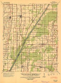 1940 Pascola1942 Print · USGSThe Missouri Bootheel is shown here during a period of massive land reclamation and rail-driven growth. Family historians can trace rural roots at Miller Sch, Mount Gilead Cem, and the timber-focused Lumber Yard in Gideon.
 - 1955 Map of Pascola
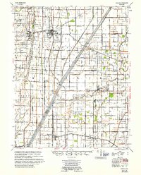 1955 Pascola1955 Print · USGSThe Missouri Bootheel in the mid-fifties reveals a landscape defined by an extensive drainage system and the St Louis San Francisco rail line. Researchers can trace rural life through sites like the Delmore Labor Home, Sumach Ch & Cem, and the Gideon Memorial Airport.
 - 1956 Map of Dyersburg, 1960 Print
 1956 Dyersburg1960 Print · USGSThe Four Rivers region comes alive in the mid-fifties, capturing the intricate borderlands of Tennessee, Kentucky, and Missouri. Genealogists and historians can trace the rail-and-river networks connecting Dyersburg, Caruthersville, and the shoreline of Reelfoot Lake.4 unique versions available
 - 1978 Map of Wardell, 1979 Print
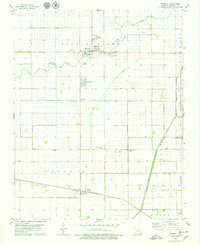 1978 Wardell1979 Print · USGSPemiscot County's agricultural heartland is captured in the late 1970s, showing the intricate drainage and rail networks of the Missouri Bootheel. Researchers can trace family history through sites like Ingram Ridge Church or the St Paul and Wardell Memorial cemeteries.
 - 1983 Map of Dyersburg
 1983 Dyersburg1983 Print · USGSSpanning the Mississippi River at the start of the 1980s, this area shows the vital river-and-rail connections between Tennessee and Missouri. Researchers can trace family sites at Mount Pisgah Cemetery or study the evolving shoreline near Caruthersville and Reelfoot Lake.
 - 2012 Map of Wardell, 2012 Print
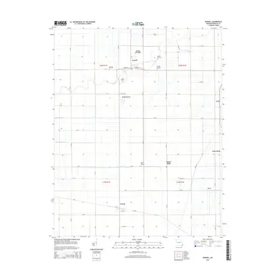
 2012 Wardell2012 Print · USGSCovers Homestown, including Wardell, North Wardell, and other nearby areas
 - 2015 Map of Wardell, 2015 Print
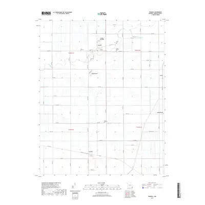
 2015 Wardell2015 Print · USGSCovers Homestown, including Wardell, North Wardell, and other nearby areas
 - 2017 Map of Wardell, 2017 Print
 2017 Wardell2017 Print · USGSCovers Homestown, including Wardell, North Wardell, and other nearby areas
 - 2021 Map of Wardell, 2021 Print
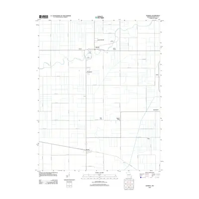
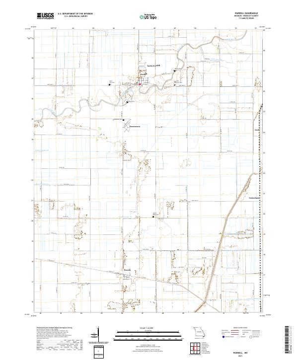 2021 Wardell2021 Print · USGSPemiscot County's agricultural heartland is documented here in the early 2020s, showing a landscape shaped by river and ditch. Researchers can locate family landmarks like Wardell Memorial Cem, Ingram Ridge Cem, and the small settlement of Pascola.
End of results
Showing maps 1-9 of 9
Top cities near Homestown
- Kennett historical maps
- Caruthersville historical maps
- Malden historical maps
- Hayti historical maps
- Clarkton historical maps
- Gideon historical maps
See more
Frequently asked questions
- What are the different types of historical maps available for Homestown?
- What is the oldest map of Homestown?
- Where can I purchase historical maps of Homestown for my home or office?
- Where can I download high-res historical maps of Homestown?
- Are there historical topographic maps available for Homestown?
- Is there historical aerial imagery available for Homestown?
- Where are historical maps of Homestown sourced from?