Old Maps of Morrisville, Missouri for Genealogy
Trace your family roots with 11 historic maps of Morrisville. These high-res maps reveal old neighborhoods, homesites, landmarks, and streets — helping you uncover where your ancestors lived and how the area evolved over time.
- Explore historic neighborhoods: Identify where your relatives may have lived in the 1800s or 1900s.
- Compare maps over time: Trace the changes in streets, buildings, and landmarks for multi-generational research.
- Perfect for genealogy & ancestry research: Used by family historians and researchers to map out lineage and migration.
These maps are an incredible resource for exploring your personal connection to Morrisville's past.
Morrisville, MO maps
(11)- 1884 Map of Springfield
 1884 Springfield1884 Print · USGSSpringfield emerged as a critical railroad junction in Southwest Missouri during the 1880s. Local researchers can trace the early layouts of Springfield, Willard, and Republic as they developed along the St. Louis and San Francisco Railroad.
 - 1886 Map of Springfield, 1896 Print
 1886 Springfield1896 Print · USGSSouthwest Missouri thrived as a regional rail hub in the 1880s, centering on the growth of Greene and Christian counties. Researchers can trace early rural settlements and rail stops like Springfield, Fair Grove, and Republic before the turn of the century.5 unique versions available
 - 1954 Map of Springfield
 1954 Springfield1954 Print · USGSThe Missouri Ozarks are captured here during the post-war era, showing the expansion of Springfield and the surrounding river valleys. Genealogists and historians can trace local landmarks like Mount Comfort Cemetery and the Fort Leonard Wood military grounds.6 unique versions available
 - 1958 Map of Springfield
 1958 Springfield1958 Print · USGSThe Missouri Ozarks are captured during the mid-century era of growth, centered on the bustling hub of Springfield. Genealogists and historians can trace family roots through numerous landmarks like Ebenezer Church, Stockton Cem, and the various county courthouses.
 - 1959 Map of Springfield
 1959 Springfield1959 Print · USGSThe Missouri Ozarks are captured here during a decade of postwar growth and increasing highway connectivity. Researchers can trace the legacy of the St Louis-San Francisco RR and locate early sites in Springfield, Lebanon, and Mountain Grove.
 - 1961 Map of Morrisville, 1962 Print
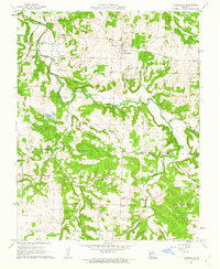 1961 Morrisville1962 Print · USGSThe rural border of Polk and Greene Counties comes into focus in the early sixties, centered on the village of Morrisville and the winding Little Sac River. Researchers can trace the St Louis - San Francisco rail line and locate community landmarks like Oakville Ch and Gays Chapel.2 unique versions available
 - 1982 Map of Springfield, 1983 Print
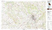 1982 Springfield1983 Print · USGSSpringfield and the surrounding Ozark plateau are captured in the early eighties as the region balanced urban growth with its agricultural roots. Genealogists and researchers can trace the locations of White Chapel, the State Sanatorium, and older rail stops like Brookline.
 - 2011 Map of Morrisville, 2011 Print
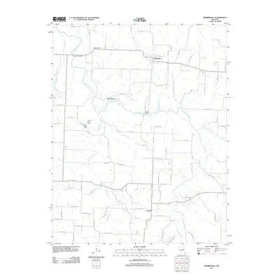 2011 Morrisville2011 Print · USGSPolk County life is centered around the Morrisville and Sacville communities in this 2011 survey. Researchers can trace the winding Little Sac River to find local landmarks like Hamilton Bridge, Grisham Knob, and the West Bend crossing.
 - 2015 Map of Morrisville, 2015 Print
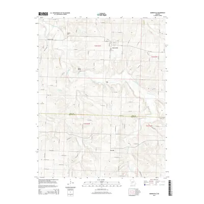 2015 Morrisville2015 Print · USGSMorrisville and the surrounding farm country are captured here in the mid-2010s. Researchers can trace rural lineages across the Polk Co line, locating property near Grisham Knob, the banks of the Little Sac River, or the settlement at Sacville.
 - 2017 Map of Morrisville, 2017 Print
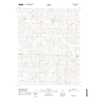 2017 Morrisville2017 Print · USGSThe rural landscape of Polk and Greene Counties is captured here in the late 2010s, centered on the community of Morrisville. Researchers can trace old family lands near the Morrisville Cem or locate historical river crossings at Hamilton Bridge and South Bridge.
 - 2021 Map of Morrisville, 2021 Print
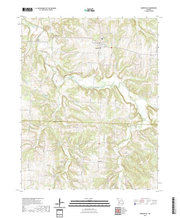 2021 Morrisville2021 Print · USGSPolk and Greene Counties are captured here in the early 2020s, showing the enduring rural character of the Missouri Ozarks. Researchers can trace local landmarks like Morrisville Cem, the path of the Frisco Highline Trl, and historic crossings at Hamilton Bridge.
End of results
Showing maps 1-11 of 11
Top cities near Morrisville
- Springfield historical maps
- Bolivar historical maps
- Willard historical maps
- Ash Grove historical maps
- Walnut Grove historical maps
- Pleasant Hope historical maps
See more
Frequently asked questions
- What are the different types of historical maps available for Morrisville?
- What is the oldest map of Morrisville?
- Where can I purchase historical maps of Morrisville for my home or office?
- Where can I download high-res historical maps of Morrisville?
- Are there historical topographic maps available for Morrisville?
- Is there historical aerial imagery available for Morrisville?
- Where are historical maps of Morrisville sourced from?