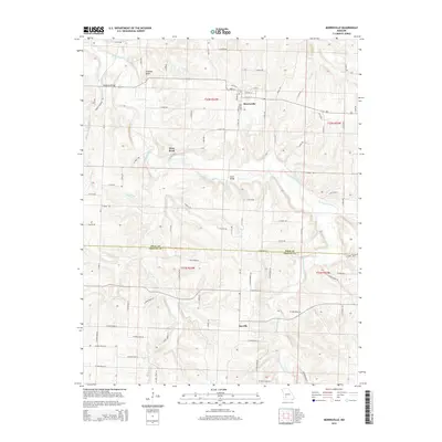
2015 Map of Morrisville
USGS Topo · Published 2015About this map
Morrisville serves as the central hub of this Missouri landscape, situated at the intersection of W Elm St and S Main Ave. The town plan is clearly defined by local landmarks like Copeland St and College St, while the surrounding terrain is dominated by the winding path of the Little Sac River. To the west, the Frisco Highline Trl follows a linear corridor through the hills, marking a modern conversion of the region's historic rail infrastructure. The map documents the boundary between Polk Co and Greene Co in the south, where the smaller settlements of West Bend and Sacville are linked by a network of farm-to-market roads. Notable local features like Grisham Knob and Hamilton Bridge provide specific points of reference for genealogists and local historians tracing the development of these communities.
Find a feature on this map
81 named features on this map. Tap any name to fly to it.
Don’t see what you’re looking for? This feature index may not catch every label — zoom into the map to look around manually.
Map Details
Editions of this 2015 Morrisville Map
This is the sole edition of this map. No revisions or reprints were ever made.
Other maps of this area

1884 · Springfield
USGS Topo · 1:125,000

1884 · Bolivar
USGS Topo · 1:125,000

1886 · Stockton
USGS Topo · 1:125,000

1886 · Greenfield
USGS Topo · 1:125,000

1886 · Springfield
USGS Topo · 1:125,000

1888 · Greenfield
USGS Topo · 1:125,000

1892 · Bolivar
USGS Topo · 1:125,000

1948 · Willard
USGS Topo · 1:24,000

1948 · Ebenezer
USGS Topo · 1:24,000

1954 · Springfield
USGS Topo · 1:250,000