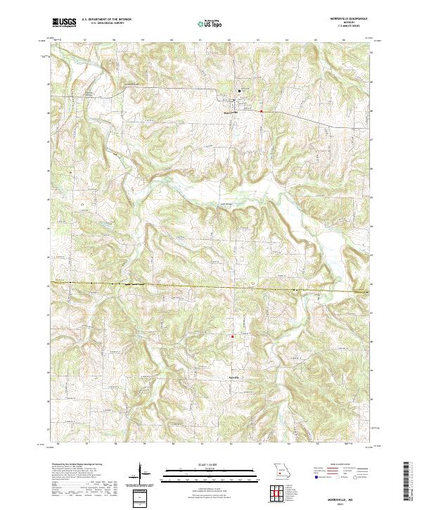
2021 Map of Morrisville
USGS Topo · Published 2021About this map
Morrisville serves as the primary settlement on this landscape, positioned north of the border between Polk and Greene Counties. The town is organized around a traditional street grid including Dixie Ln and Walnut St, with the Morrisville Cem situated on its northern edge. The area's geography is defined by the winding course of the Little Sac River, which is spanned by landmarks such as Hamilton Bridge and South Bridge. Further south, the community of Sacville sits amidst a network of rural farm roads, while the Frisco Highline Trl follows the path of a former rail corridor in the northwest. Significant natural landmarks including Grisham Knob and various tributaries like Asher Cr and Tinkle Br highlight the drainage patterns that have shaped the agricultural and social development of this Missouri Ozarks region.
Find a feature on this map
79 named features on this map. Tap any name to fly to it.
Don’t see what you’re looking for? This feature index may not catch every label — zoom into the map to look around manually.
Map Details
Editions of this 2021 Morrisville Map
This is the sole edition of this map. No revisions or reprints were ever made.
Other maps of this area

1884 · Springfield
USGS Topo · 1:125,000

1884 · Bolivar
USGS Topo · 1:125,000

1886 · Stockton
USGS Topo · 1:125,000

1886 · Greenfield
USGS Topo · 1:125,000

1886 · Springfield
USGS Topo · 1:125,000

1888 · Greenfield
USGS Topo · 1:125,000

1892 · Bolivar
USGS Topo · 1:125,000

1948 · Willard
USGS Topo · 1:24,000

1948 · Ebenezer
USGS Topo · 1:24,000

1954 · Springfield
USGS Topo · 1:250,000