2020s Maps of Saint Louis County, Missouri
Explore 21 historic maps of Saint Louis County from the 2020s. These maps offer a rare glimpse into what life looked like during the 2020s — showing old roads, neighborhoods, homes, and landmarks that have changed or disappeared over time.
Whether you're researching your family's past, planning a metal detecting trip, or studying how Saint Louis County's landscape evolved across the 2020s, these high-resolution maps are a powerful tool for exploring the history of this region.
- Focus on a specific era: All maps on this page are from the 2020s, giving you a focused view of this time period.
- See what’s changed: Compare century-old streets, trails, and buildings to today's modern landscape using overlays and satellite layers.
- Research with precision: Use these maps for genealogy, historical research, land use analysis, or educational projects.
- View, download, or print: Maps are fully viewable online in high resolution, and can be downloaded or printed for your own records.
Start exploring Saint Louis County's history through authentic maps from the 2020s. This is your window into the past.
Saint Louis County, MO maps
(21)- 2021 Map of Elsah, 2021 Print
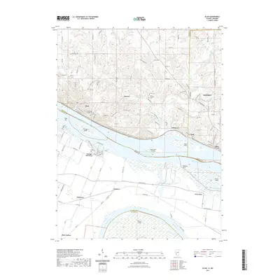 2021 Elsah2021 Print · USGSThe river bluffs of Jersey and Madison County meet the Missouri bottomlands in this contemporary survey of the great river confluence. Researchers can locate family sites at Saint Michaels Cem or trace the early riverfront layouts of Elsah and Portage Des Sioux.
 - 2021 Map of Granite City, 2021 Print
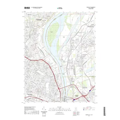 2021 Granite City2021 Print · USGSThe Mississippi River corridor and the urban centers of St. Louis and Granite City are captured here during a period of modern industrial maturity. Genealogists and historians can trace cemetery records at Calvary Cem or explore the early riverfront grids of Brooklyn and National City.
 - 2021 Map of Wood River, 2021 Print
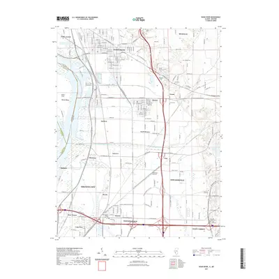 2021 Wood River2021 Print · USGSThe industrial heart of the Mississippi floodplain is captured here in the early twenty-first century. Genealogists and local historians can trace family roots through numerous burial sites like Nix Judy Pioneer Cem and Saint Paul Church Cem or study the rail and water networks of Wood River and Hartford.
 - 2021 Map of Creve Coeur, 2021 Print
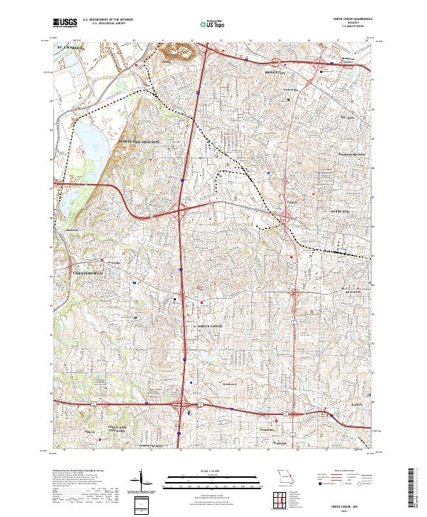 2021 Creve Coeur2021 Print · USGSSt. Louis County is shown in high detail during its modern era of suburban density and institutional growth. Genealogists and local historians can trace burial sites at Fee Fee Cem and Bridgeton Cem, or locate landmarks like Creve Coeur Lake.
 - 2021 Map of Maxville, 2021 Print
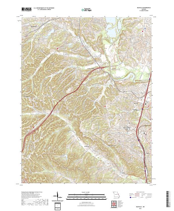 2021 Maxville2021 Print · USGSThe suburban landscape south of St. Louis is captured here at the start of the 2020s, where traditional communities meet modern growth. Genealogists and local researchers can locate established landmarks like McCormack Cem and the Jefferson College Arnold campus.
 - 2021 Map of Manchester, 2021 Print
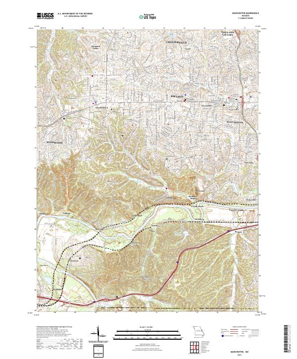 2021 Manchester2021 Print · USGSSt. Louis County's suburban expansion meets the winding Meramec River valley in the early 2020s. Genealogists and local historians can trace family markers at Saint Johns Lutheran Cem or follow the BNSF Railway through Sherman and Glencoe.
 - 2021 Map of Oakville, 2021 Print
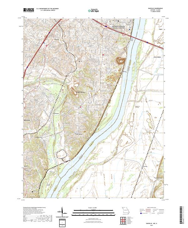 2021 Oakville2021 Print · USGSThe confluence of the Meramec and Mississippi Rivers comes to life in this contemporary study of the Missouri and Illinois borderlands. Genealogists and local historians can trace family markers at Saint Paul Cem or explore the riverfront near Cliff Cave and Chesley Island.
 - 2021 Map of Saint Charles, 2021 Print
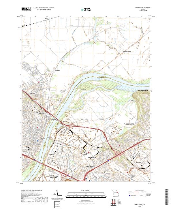 2021 Saint Charles2021 Print · USGSSt. Charles and the Missouri River valley are seen here in recent years as the urban sprawl of St. Louis meets the river bottomlands. Family historians can locate several historic burial grounds like Borromeo Cem and Saint Peters Cem, or trace the old rail corridor of the Katy Trl.
 - 2021 Map of Florissant, 2021 Print
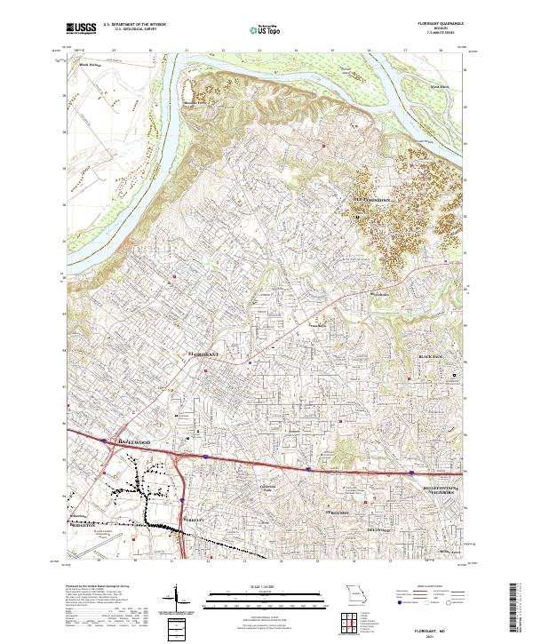 2021 Florissant2021 Print · USGSNorth St. Louis County and the Missouri River valley are captured in detail during this era of suburban density and river-bottom agriculture. Researchers can trace family sites at Cold Water Cem or explore the shifting banks near Musicks Ferry and Pelican Island.
 - 2021 Map of Eureka, 2021 Print
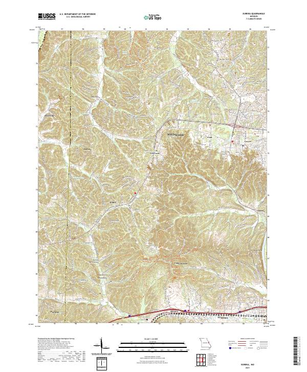 2021 Eureka2021 Print · USGSThe suburbs and wooded ridges west of St. Louis are shown here in the modern era as they balance residential growth with local heritage. Researchers can trace the BNSF Railway corridor through Eureka or locate family sites near Allen Cem and Glencoe.
 - 2021 Map of Chesterfield, 2021 Print
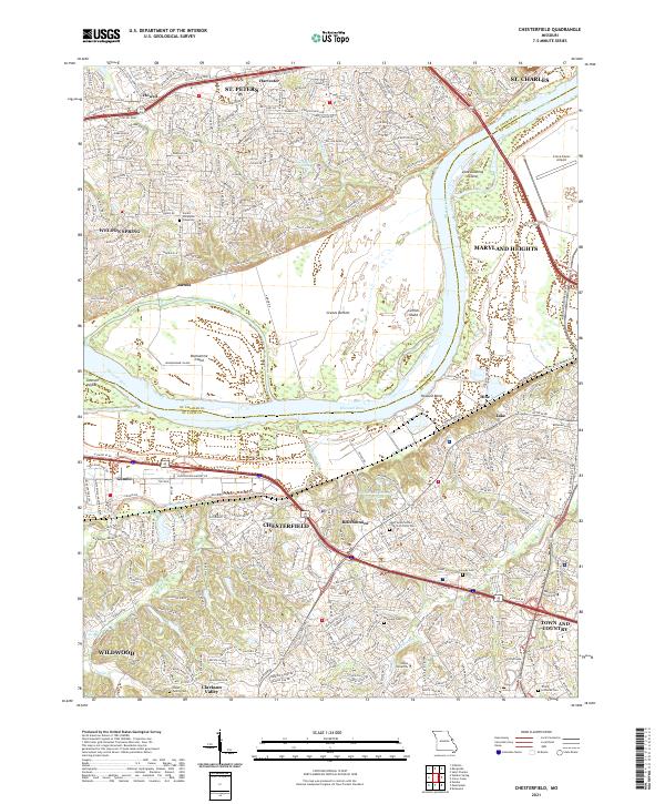 2021 Chesterfield2021 Print · USGSChesterfield and the Missouri River corridor are shown here in the early twenty-first century as suburban growth meets the river's floodplain. Genealogists can trace family landmarks like the Stuart Family Cem and Everwine Cem, or locate regional institutions like Logan University and the Creve Coeur Airport.
 - 2021 Map of Weldon Spring, 2021 Print
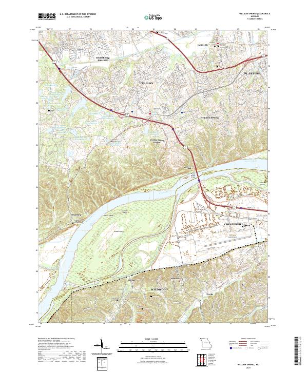 2021 Weldon Spring2021 Print · USGSGreater St. Louis was undergoing significant suburban growth and infrastructure modernization in the early 2020s. Researchers can locate numerous family burial sites such as Francis Howell Cem and trace the Missouri River shoreline past Howell Island.
 - 2021 Map of Webster Groves, 2021 Print
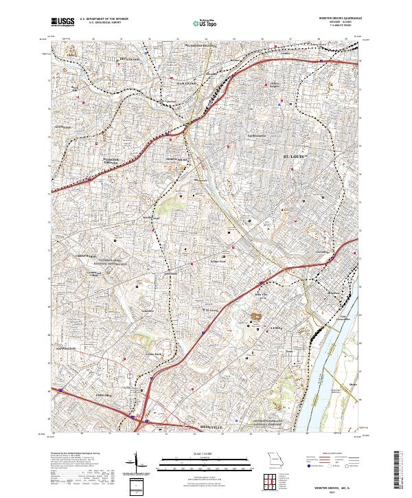 2021 Webster Groves2021 Print · USGSSt. Louis County is captured here in its modern suburban complexity, from the academic halls of Webster University to the historic grounds of Affton. Genealogists can trace family names across Sappington Grave Yard, Resurrection Cem, and Jefferson Barracks National Cemetery.
 - 2021 Map of House Springs, 2021 Print
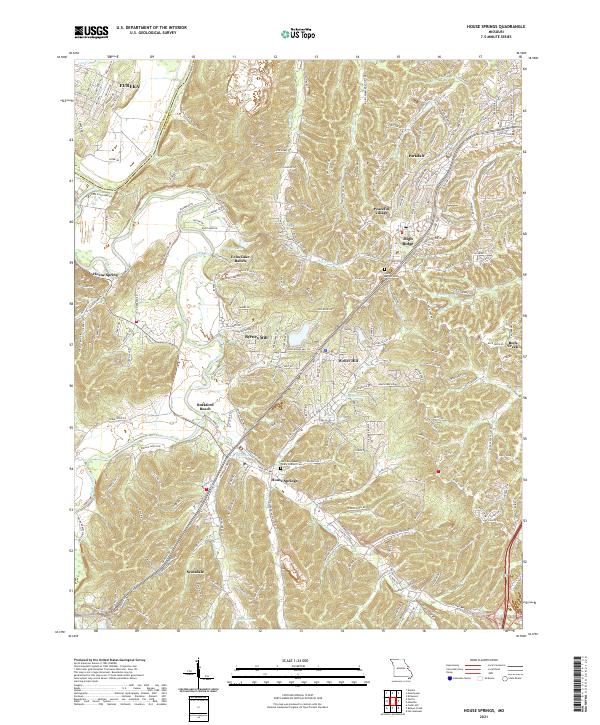 2021 House Springs2021 Print · USGSJefferson County’s river valleys and residential ridges are mapped here in the early 2020s. Researchers can locate family landmarks like Our Lady Queen Of Peace Catholic Cem, the historical footprint of Byrnes Mill, and Rockford Beach along the Big River.
 - 2021 Map of Clayton, 2021 Print
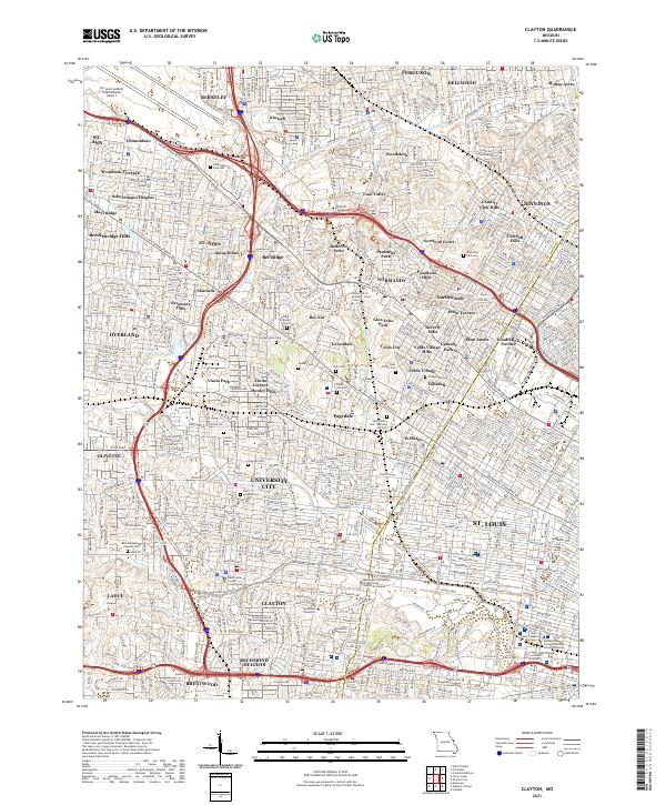 2021 Clayton2021 Print · USGSGreater St. Louis County at the start of the 2020s shows a mature landscape of historic municipalities and premier academic institutions. Researchers can trace the layout of the Saint Louis County Courthouse and numerous burial grounds like Valhalla Cem and Zion Cem.
 - 2021 Map of Columbia Bottom, 2021 Print
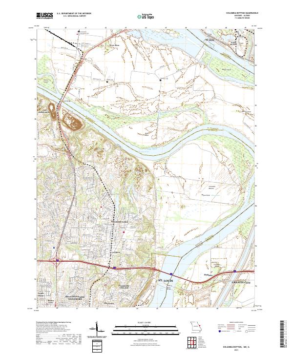 2021 Columbia Bottom2021 Print · USGSThe St. Louis riverfront meets the Missouri-Mississippi confluence in this modern topographic study. Genealogists can locate family sites at Bailey Cem and Espedeza Cem, or trace the old routes of Madison Ferry Rd and the Chain of Rocks Bridge.
 - 2021 Map of Pacific, 2021 Print
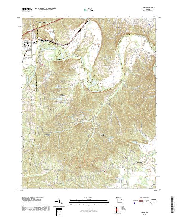 2021 Pacific2021 Print · USGSPacific and Eureka sit at a unique geographic crossroads where three counties meet along the winding Meramec River. Genealogists and local historians can trace family-named sites like Saint Columbkille Cem and the McNamee School Rd.
 - 2021 Map of Kirkwood, 2021 Print
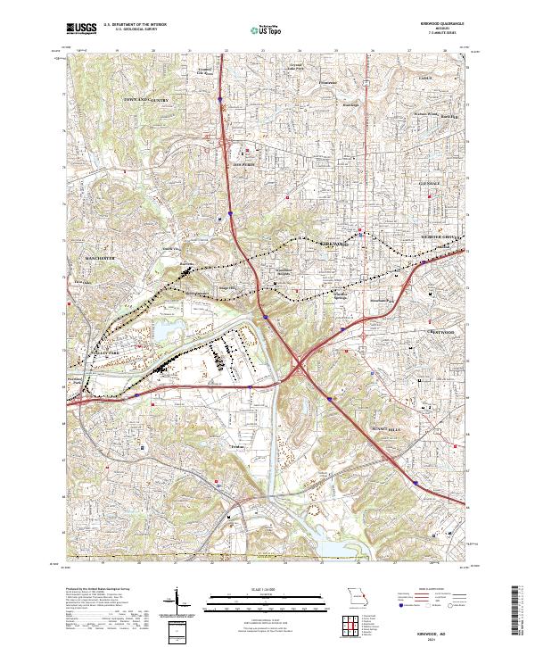 2021 Kirkwood2021 Print · USGSThe suburban landscape south of St. Louis is shown in the early 2020s, a period of dense residential and commercial development. Researchers can trace local heritage through numerous cemeteries like Oak Hill Cem and settlements such as Windsor Springs and Meacham Park.
 - 2024 Map of Granite City, 2024 Print
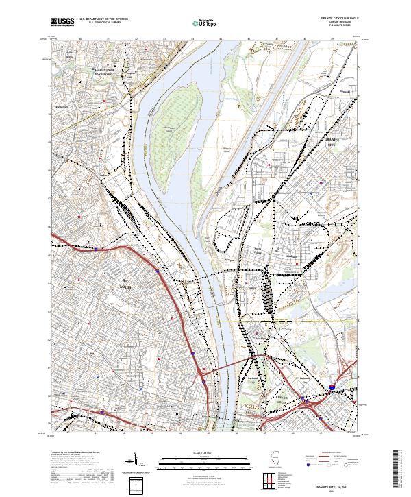 2024 Granite City2024 Print · USGSThe Mississippi River corridor thrives in this modern era, bridging the Missouri and Illinois riverfronts. Genealogists can trace family heritage through the Calvary Cem and Mausoleum or locate landmarks like Ranken Technical College and the Gateway Arch.
 - 2024 Map of Elsah, 2024 Print
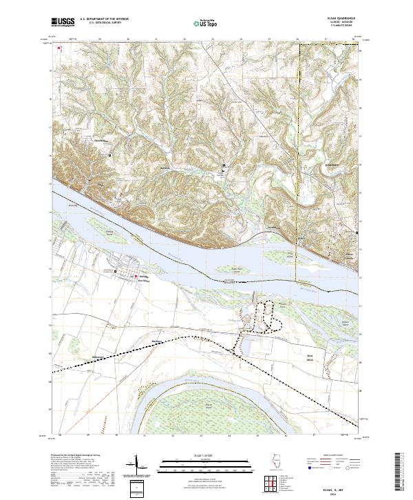 2024 Elsah2024 Print · USGSThe Illinois bluffs and Missouri bottomlands meet at the Mississippi in this recent survey of the river's confluence. Genealogists can locate family landmarks like Elsah Cem or Melville Cem, while historians can trace the limits of Chautauqua and Portage Des Sioux.
 - 2024 Map of Wood River, 2024 Print
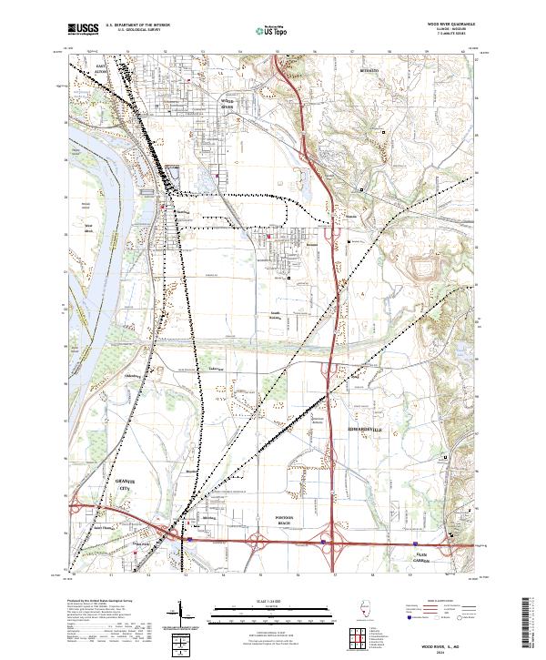 2024 Wood River2024 Print · USGSModern Madison County industry meets deep-rooted history in this 2024 landscape of the Mississippi floodplain. Researchers can trace ancestral burial sites at Nix-Judy Pioneer Cem and Springley Cem or explore the massive Cahokia Diversion Channel.
End of results
Showing maps 1-21 of 21
Top cities of Saint Louis County
- Florissant historical maps
- Chesterfield historical maps
- Oakville historical maps
- Wildwood historical maps
- University City historical maps
- Ballwin historical maps
See more
Frequently asked questions
- What are the different types of historical maps available for Saint Louis County?
- What is the oldest map of Saint Louis County?
- Where can I purchase historical maps of Saint Louis County for my home or office?
- Where can I download high-res historical maps of Saint Louis County?
- Are there historical topographic maps available for Saint Louis County?
- Is there historical aerial imagery available for Saint Louis County?
- Where are historical maps of Saint Louis County sourced from?