1990s Maps of Saint Louis County, Missouri
Explore 16 historic maps of Saint Louis County from the 1990s. These maps offer a rare glimpse into what life looked like during the 1990s — showing old roads, neighborhoods, homes, and landmarks that have changed or disappeared over time.
Whether you're researching your family's past, planning a metal detecting trip, or studying how Saint Louis County's landscape evolved across the 1990s, these high-resolution maps are a powerful tool for exploring the history of this region.
- Focus on a specific era: All maps on this page are from the 1990s, giving you a focused view of this time period.
- See what’s changed: Compare century-old streets, trails, and buildings to today's modern landscape using overlays and satellite layers.
- Research with precision: Use these maps for genealogy, historical research, land use analysis, or educational projects.
- View, download, or print: Maps are fully viewable online in high resolution, and can be downloaded or printed for your own records.
Start exploring Saint Louis County's history through authentic maps from the 1990s. This is your window into the past.
Saint Louis County, MO maps
(16)- 1991 Map of Oakville
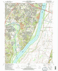 1991 Oakville1991 Print · USGSThe confluence of the Mississippi and Meramec Rivers serves as the backdrop for south St. Louis County in the early nineties. Researchers can trace the grounds of the Jefferson Barracks National Cemetery, the Nazareth Convent, and family-named landmarks like Byers and Wickes.2 unique versions available
 - 1991 Map of Elsah, 1995 Print
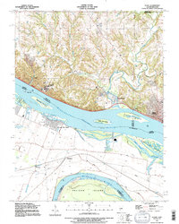 1991 Elsah1995 Print · USGSThe Mississippi and Missouri rivers meet here in the early nineties, revealing a landscape of protective levees and riverfront villages. Genealogists can locate family names at St Francis Cem and Elsah Cem or trace the early river footprints of Portage Des Sioux and Machens.
 - 1993 Map of Granite City, 1996 Print
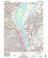 1993 Granite City1996 Print · USGSThe Mississippi riverfront near St. Louis and Granite City is shown here in the 1990s as a hub of industry and transit. Trace family plots in Calvary Cemetery or locate the Brooklyn (Lovejoy PO) post office and Mc Kinley Bridge.
 - 1993 Map of Oakville, 1996 Print
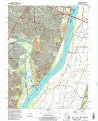 1993 Oakville1996 Print · USGSThe river bluffs of south St. Louis County met the sprawling Illinois floodplains in the mid-nineties, showing a mix of military legacy and suburban growth. Researchers can locate Jefferson Barracks National Cemetery, the limestone heights of Cliff Cave, and the riverside powerplant at Wickes.
 - 1993 Map of Webster Groves, 1996 Print
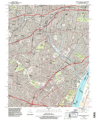 1993 Webster Groves1996 Print · USGSThe southwestern suburbs of St. Louis are shown in the early nineties, revealing a dense landscape of established neighborhoods and major cemetery grounds. Genealogists can trace family sites at Ss Peter and Paul Cemetery or explore the historic Jefferson Barracks riverfront.
 - 1994 Map of Florissant
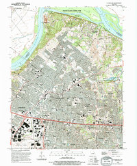 1994 Florissant1994 Print · USGSNorth St. Louis County is captured here in the early 1990s as suburban development meets the Missouri River bottomlands. Genealogists can trace family roots through several local landmarks like Coldwater Cemetery, St Ferdinand Cemetery, and Salem School.
 - 1994 Map of Wood River, 1995 Print
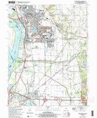 1994 Wood River1995 Print · USGSThe industrial heart of Madison County and the lowlands of the Mississippi floodplain are detailed in this mid-nineties survey. Genealogists and local historians can trace family sites at Springley Cem, the grounds of Southern Illinois University, or the old rail stops at Poag.2 unique versions available
 - 1994 Map of St. Charles, 1995 Print
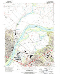 1994 St. Charles1995 Print · USGSSt. Charles and the neighboring St. Louis County suburbs are shown in high detail during the mid-nineties. Researchers can locate long-standing institutions like Lindenwood College, trace the Katy Trail, and identify local sites like Emmaus Cem and Earth City.
 - 1994 Map of Columbia Bottom, 1995 Print
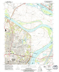 1994 Columbia Bottom1995 Print · USGSThe confluence of the great rivers north of St. Louis is shown in the mid-1990s, where suburban growth meets a complex network of levees and canals. Researchers can trace family history through sites like Villa Gesu Convent, Bailey Cem, and the old community at West Alton.
 - 1994 Map of Weldon Spring, 1995 Print
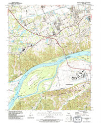 1994 Weldon Spring1995 Print · USGSThe Missouri River corridor near Chesterfield and Weldon Spring is shown here in the mid-1990s as suburban development meets extensive wildlife preserves. Researchers can trace historic family burial sites like Pitman Cem and Wolf Cem or locate regional landmarks such as Spirit of St Louis Airport and the Katy Trail State Park.
 - 1994 Map of Chesterfield, 1995 Print
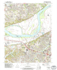 1994 Chesterfield1995 Print · USGSMid-1990s St. Louis County shows a landscape in transition as suburban development reaches the Missouri River bluffs. Researchers can trace the layout of Chesterfield, find the Gumbo Cem, or locate landmarks like Maryville University.
 - 1998 Map of Florissant, 1999 Print
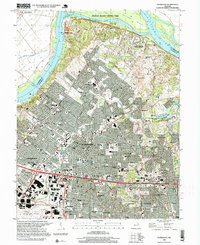 1998 Florissant1999 Print · USGSNorth St. Louis County in the late nineties shows a landscape where suburban growth meets the Missouri River bottomlands. Researchers can find old family burial sites like Coldwater Cem, trace the footprint of Lambert St Louis International Airport, and locate river landmarks like Musicks Ferry.
 - 1998 Map of Oakville, 1999 Print
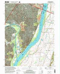 1998 Oakville1999 Print · USGSThe St. Louis suburbs and the Mississippi River bluffs are captured in the late nineties, showcasing the expansion of Oakville and Arnold. Genealogists can locate family sites at St Pauls Cem or trace the vast Jefferson Barracks National Cemetery.
 - 1998 Map of Columbia Bottom, 1999 Print
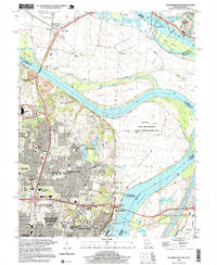 1998 Columbia Bottom1999 Print · USGSThe confluence of the Missouri and Mississippi Rivers is captured here at the end of the century, showing a landscape of massive levees and growing suburban tracts. Researchers can trace the development of Bellefontaine Neighbors or locate community landmarks like Villa Gesu Convent and Fort Bellefontaine.
 - 1998 Map of Granite City, 1999 Print
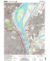 1998 Granite City1999 Print · USGSGreater St. Louis and the Illinois riverfront are captured here in the late 1990s as the region's industrial and river infrastructure remained in full force. Genealogists and historians can trace family plots in Calvary Cemetery or locate the historic Brooklyn (Lovejoy PO) and the Municipal Dock.
 - 1998 Map of Webster Groves, 1999 Print
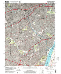 1998 Webster Groves1999 Print · USGSThe southern suburbs of St. Louis are shown in high detail during the late nineties, documenting a landscape shaped by rail lines and riverfront industry. Researchers can trace historic burial sites like Resurrection Cemetery and the sprawling grounds of Jefferson Barracks.2 unique versions available
End of results
Showing maps 1-16 of 16
Top cities of Saint Louis County
- Florissant historical maps
- Chesterfield historical maps
- Oakville historical maps
- Wildwood historical maps
- University City historical maps
- Ballwin historical maps
See more
Frequently asked questions
- What are the different types of historical maps available for Saint Louis County?
- What is the oldest map of Saint Louis County?
- Where can I purchase historical maps of Saint Louis County for my home or office?
- Where can I download high-res historical maps of Saint Louis County?
- Are there historical topographic maps available for Saint Louis County?
- Is there historical aerial imagery available for Saint Louis County?
- Where are historical maps of Saint Louis County sourced from?