1950s Maps of Saint Louis County, Missouri
Explore 22 historic maps of Saint Louis County from the 1950s. These maps offer a rare glimpse into what life looked like during the 1950s — showing old roads, neighborhoods, homes, and landmarks that have changed or disappeared over time.
Whether you're researching your family's past, planning a metal detecting trip, or studying how Saint Louis County's landscape evolved across the 1950s, these high-resolution maps are a powerful tool for exploring the history of this region.
- Focus on a specific era: All maps on this page are from the 1950s, giving you a focused view of this time period.
- See what’s changed: Compare century-old streets, trails, and buildings to today's modern landscape using overlays and satellite layers.
- Research with precision: Use these maps for genealogy, historical research, land use analysis, or educational projects.
- View, download, or print: Maps are fully viewable online in high resolution, and can be downloaded or printed for your own records.
Start exploring Saint Louis County's history through authentic maps from the 1950s. This is your window into the past.
Saint Louis County, MO maps
(22)- 1951 Map of Wood River
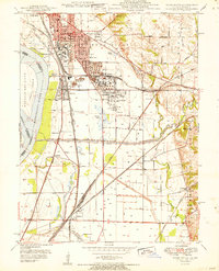 1951 Wood River1951 Print · USGSThe industrial heart of Madison County comes into focus in the early 1950s, showing the massive refining operations and rail hubs along the Mississippi. Researchers can trace local history through the Oil Refinery sites, Bohm Sch, and Sunset Hill Cem.
 - 1951 Map of Columbia Bottom, 1952 Print
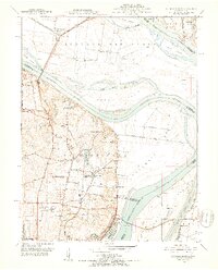 1951 Columbia Bottom1952 Print · USGSThe northern reaches of St. Louis and the river confluence are captured here in the early fifties, before modern flood control reshaped the bottoms. Researchers can trace the grounds of the St Louis State Training School, find the Immaculate Conception Cem, and follow the old St Louis Waterworks RR.8 unique versions available
 - 1954 Map of House Springs, 1956 Print
 1954 House Springs1956 Print · USGSJefferson County in the mid-1950s is a landscape of winding river valleys and ridge-top settlements. Researchers can trace the development of High Ridge and House Springs or locate family landmarks like Byrnes Mill, Hoene Spring, and St Martins Ch.8 unique versions available
 - 1954 Map of Granite City, 1958 Print
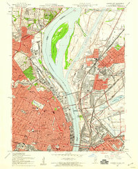 1954 Granite City1958 Print · USGSThe mid-century riverfront industrial landscape comes alive here where Missouri and Illinois meet at the Mississippi. Researchers can trace historic neighborhoods and landmarks from Busch Stadium to the sprawling Calvary Cemetery and the Chain of Rocks Canal.6 unique versions available
 - 1954 Map of Kirkwood, 1959 Print
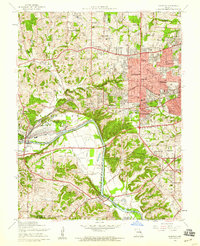 1954 Kirkwood1959 Print · USGSPost-war St. Louis County suburbs expand across the Meramec River valley in the mid-fifties as new neighborhoods surround historic rail lines. Genealogists can trace family roots at Marshall Cem or explore sites like Weiss Airport and Ursuline Academy.7 unique versions available
 - 1954 Map of Creve Coeur, 1959 Print
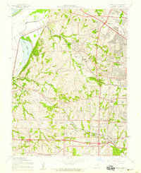 1954 Creve Coeur1959 Print · USGSMid-century St. Louis County is caught at a moment of rapid suburban transformation as new expressways begin to carve through historic townships. Genealogists and local historians can trace family-named landmarks, parish schools like St Monica Sch, and established sites such as Mt Lebanon Cem and Maryland Heights.7 unique versions available
 - 1954 Map of Clayton, 1959 Print
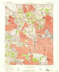 1954 Clayton1959 Print · USGSSt. Louis County was undergoing a massive postwar expansion during the 1950s, bridging the gap between the city and its growing western suburbs. Genealogists and urban historians can trace family locations through dozens of neighborhood schools, cemeteries like Memorial Park Cemetery, and landmarks like the U S Army Records Center.6 unique versions available
 - 1954 Map of Oakville, 1959 Print
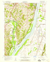 1954 Oakville1959 Print · USGSThe confluence of the Meramec and Mississippi rivers comes into focus during the mid-fifties, showing the growth of St. Louis County and the Illinois bottomlands. Researchers can trace the grounds of Jefferson Barracks, locate family plots at St Pauls Cem, or find long-standing community landmarks like Nazareth Convent.4 unique versions available
 - 1954 Map of St. Charles, 1959 Print
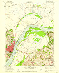 1954 St. Charles1959 Print · USGSSt. Charles and the Missouri River floodplain come into sharp focus in the mid-1950s as suburban growth begins to reach the western riverbanks. Genealogists and local historians can locate Lindenwood College, several family cemeteries like Borromeo Cem, and vanished landmarks such as Kratz Airport.5 unique versions available
 - 1954 Map of Elsah, 1959 Print
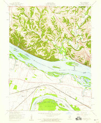 1954 Elsah1959 Print · USGSThe river bluffs of Jersey and Madison counties are captured here in the mid-fifties as river life and rail commerce intersected. Researchers can trace the grounds of Principia College, the streets of Portage Des Sioux, and defunct rural sites like Mertz Sch.3 unique versions available
 - 1954 Map of Manchester, 1959 Print
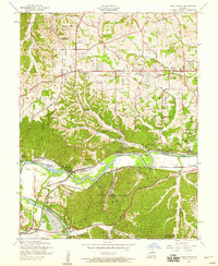 1954 Manchester1959 Print · USGSThe Meramec valley and western St. Louis County are seen here in the mid-fifties, during a period of suburban expansion and industrial utility. Genealogists can locate family landmarks like Lewis Cem, the Oak Ridge Sch (Abandoned), and the original platting of Times Beach.8 unique versions available
 - 1954 Map of Florissant, 1959 Print
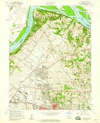 1954 Florissant1959 Print · USGSNorth St. Louis County is captured here in the mid-1950s, showing the rapid expansion of FLORISSANT and BERKELEY as they began to surround the Lambert-St Louis Airport. Researchers can find historic cemeteries like Coldwater Cem and Salem Cem alongside now-developed areas like Shoveltown.5 unique versions available
 - 1954 Map of Webster Groves, 1959 Print
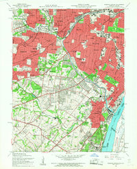 1954 Webster Groves1959 Print · USGSMid-century St. Louis and Webster Groves appear here during a period of rapid suburban maturation and institutional development. Genealogists can trace family sites near Jefferson Barracks, Resurrection Cemetery, and Luxemburg.5 unique versions available
 - 1954 Map of Maxville, 1959 Print
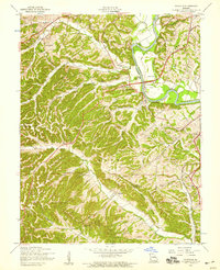 1954 Maxville1959 Print · USGSJefferson County and the St. Louis border are shown here during the mid-fifties, just as rural valley life met new transportation growth. Genealogists can locate family landmarks like McCormack Cem, Bowles Sch, and the winding Lemay Ferry Road.5 unique versions available
 - 1954 Map of Pacific, 1959 Print
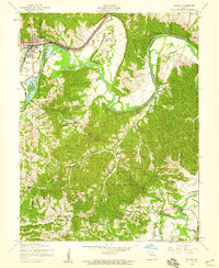 1954 Pacific1959 Print · USGSThe Meramec River valley in the mid-fifties remains a world of winding rail lines and rural parishes. Genealogists can trace family footprints at St Stephens Ch, Byrnesville, and the grounds of the St Josephs Hill Infirmary.5 unique versions available
 - 1954 Map of Eureka, 1959 Print
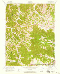 1954 Eureka1959 Print · USGSThe rail-and-river corridor of western St. Louis County is captured here in the mid-fifties as rural life began to change. Genealogists can locate Wildhorse Creek Sch (Abandoned), the Allen Cem, and early settlements like Allenton and Melrose.7 unique versions available
 - 1954 Map of Chesterfield, 1959 Print
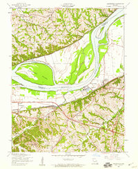 1954 Chesterfield1959 Print · USGSIn the mid-fifties, the Missouri River bluffs supported a mix of riverside industry and historic rural centers. Genealogists and local historians can trace the footprint of Gumbo, Chesterfield, and Bellefontaine before the modern expansion, locating landmarks like St Thomas Ch and the Chicago and Pacific rail line.5 unique versions available
 - 1954 Map of Weldon Spring, 1959 Print
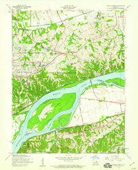 1954 Weldon Spring1959 Print · USGSMid-century St. Charles County is captured here during a period of industrial and institutional growth along the Missouri River. Genealogists can locate family landmarks like Pitman Cem and Cottleville Cem, or trace the path of Boones Lick Road and the Chicago Rock Island and Pacific railroad.5 unique versions available
 - 1954 Map of Kimmswick, 1960 Print
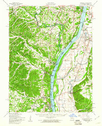 1954 Kimmswick1960 Print · USGSThe Mississippi River corridor south of St. Louis comes to life in the mid-fifties, showing the rail-dependent towns of Kimmswick and Herculaneum. Genealogists and historians can trace family landmarks like Richardson Cem, Point Sch, and Harrisonville Landing.2 unique versions available
 - 1954 Map of St. Charles, 1960 Print
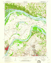 1954 St. Charles1960 Print · USGSThe river confluence near St. Louis during the mid-fifties reveals a landscape balancing traditional river life with rapid suburban and aviation growth. Genealogists and historians can trace family roots through sites like St Stanislaus Seminary Cem, Portage Des Sioux, and the campus of Principia College.2 unique versions available
 - 1955 Map of Wood River, 1959 Print
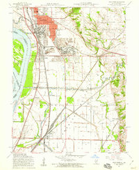 1955 Wood River1959 Print · USGSMid-century Madison County thrives at the junction of heavy industry and historic bottomlands as the postwar rail network expands. Researchers can trace family roots through the Wanda Cem or locate the Indian Mounds and the Sunset Speedway.4 unique versions available
 - 1955 Map of Alton, 1960 Print
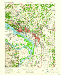 1955 Alton1960 Print · USGSThe industrial riverfronts and expanding rail corridors of the Metro East are captured here in the mid-fifties. Researchers can trace the development of Alton State Hospital, the grounds of Monticello College, and historic sites like Fort Bellefontaine.2 unique versions available
End of results
Showing maps 1-22 of 22
Top cities of Saint Louis County
- Florissant historical maps
- Chesterfield historical maps
- Oakville historical maps
- Wildwood historical maps
- University City historical maps
- Ballwin historical maps
See more
Frequently asked questions
- What are the different types of historical maps available for Saint Louis County?
- What is the oldest map of Saint Louis County?
- Where can I purchase historical maps of Saint Louis County for my home or office?
- Where can I download high-res historical maps of Saint Louis County?
- Are there historical topographic maps available for Saint Louis County?
- Is there historical aerial imagery available for Saint Louis County?
- Where are historical maps of Saint Louis County sourced from?