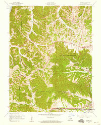
1954 Map of Eureka
USGS Topo · Published 1959About this map
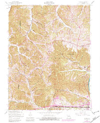
Eureka and Allenton anchor the southern reaches of this landscape, situated along the corridor of the Missouri Pacific Railroad and the St Louis San Francisco tracks. The mid-1950s terrain is characterized by a transition from the agricultural and institutional pockets of Melrose and Pond to the protected forests of Babler State Park and the Rockwoods Range. Evidence of shifting demographics appears in the Wildhorse Creek Sch (Abandoned) and Melrose Sch (Abandoned), marking a time when rural one-room schoolhouses were giving way to larger districts.
Find a feature on this map
47 named features on this map. Tap any name to fly to it.
Don’t see what you’re looking for? This feature index may not catch every label — zoom into the map to look around manually.
Map Details
Editions of this 1954 Eureka Map
7 editions found
Other maps of this area

1901 · De Soto
USGS Topo · 1:125,000

1903 · O'Fallon
USGS Topo · 1:125,000

1931 · Manchester SE
USGS Topo · 1:24,000

1931 · Pacific NE
USGS Topo · 1:24,000

1932 · Manchester NE
USGS Topo · 1:24,000

1937 · Pacific
USGS Topo · 1:24,000

1937 · Weldon Spring
USGS Topo · 1:24,000

1940 · Eureka
USGS Topo · 1:24,000

1940 · Weldon Spring
USGS Topo · 1:24,000

1944 · Eureka
USGS Topo · 1:24,000