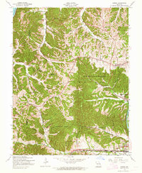
1954 Map of Eureka
USGS Topo · Published 1964About this map
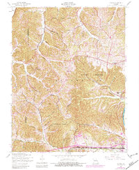
The Missouri River and Meramec River define the northern and southeastern edges of this St. Louis County landscape in the mid-1950s. The interior is characterized by a dense network of hollows, including Wildhorse Hollow, Harris Hollow, and Coon Hollow, which dictated early settlement patterns. Cultural shifts are evident in the labeling of both Wildhorse Creek Sch and Melrose Sch as abandoned, signaling a period of school consolidation or population movement even as the area supported significant institutional footprints like the La Salle Institute.
Find a feature on this map
47 named features on this map. Tap any name to fly to it.
Don’t see what you’re looking for? This feature index may not catch every label — zoom into the map to look around manually.
Map Details
Editions of this 1954 Eureka Map
7 editions found
Other maps of this area

1901 · De Soto
USGS Topo · 1:125,000

1903 · O'Fallon
USGS Topo · 1:125,000

1931 · Manchester SE
USGS Topo · 1:24,000

1931 · Pacific NE
USGS Topo · 1:24,000

1932 · Manchester NE
USGS Topo · 1:24,000

1937 · Pacific
USGS Topo · 1:24,000

1937 · Weldon Spring
USGS Topo · 1:24,000

1940 · Eureka
USGS Topo · 1:24,000

1940 · Weldon Spring
USGS Topo · 1:24,000

1944 · Eureka
USGS Topo · 1:24,000