
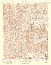
1944 Map of Eureka
USGS Topo · Published 1944About this map
Babler State Park anchors the northern portion of this landscape, where a CCC Camp and Crystal Spring suggest the recreational and conservation labor of the late 1930s. The terrain is defined by a dense network of creek valleys and ridges, with the Meramec River winding along the southeastern corner. Small agricultural and commuter settlements like Melrose, Pond, and Grover are connected by St Albans Road and Highway 100, reflecting a rural Missouri community just before the post-war suburban expansion.
Find a feature on this map
37 named features on this map. Tap any name to fly to it.
Don’t see what you’re looking for? This feature index may not catch every label — zoom into the map to look around manually.
Map Details
Editions of this 1944 Eureka Map
3 editions found
Other maps of this area

1901 · De Soto
USGS Topo · 1:125,000

1903 · O'Fallon
USGS Topo · 1:125,000

1931 · Manchester SE
USGS Topo · 1:24,000

1931 · Pacific NE
USGS Topo · 1:24,000

1932 · Manchester NE
USGS Topo · 1:24,000

1937 · Pacific
USGS Topo · 1:24,000

1937 · Weldon Spring
USGS Topo · 1:24,000

1940 · Eureka
USGS Topo · 1:24,000

1940 · Weldon Spring
USGS Topo · 1:24,000
1945 · Manchester
USGS Topo · 1:24,000