Loading...
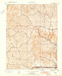
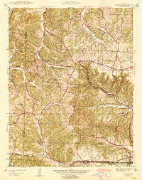
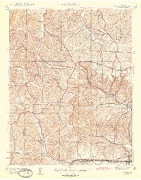
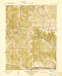
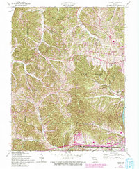
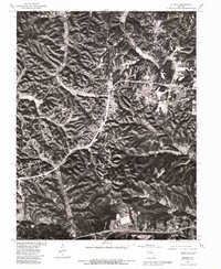
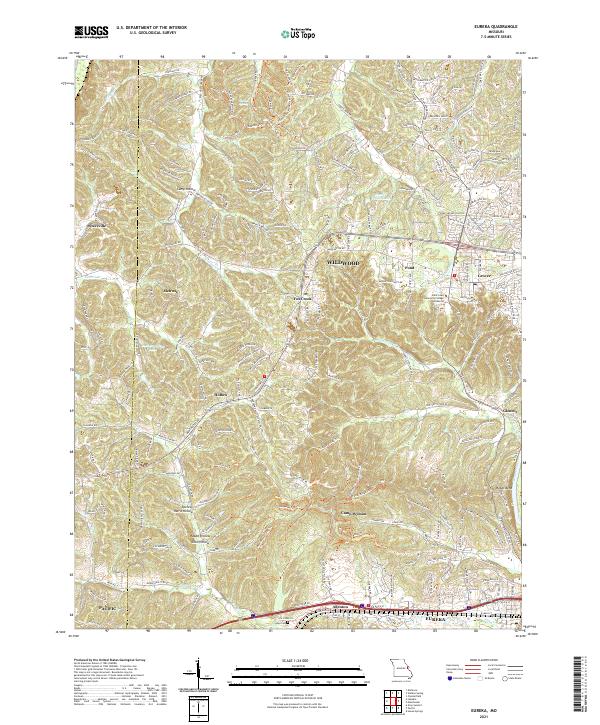
Loading map...1944 Map of Eureka
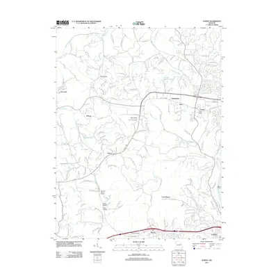
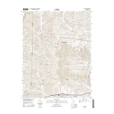
USGS Topo · Published 1950About this map
The Missouri and Meramec Rivers define the northern and southern bounds of this mid-century landscape in western St. Louis County. Babler State Park occupies a significant portion of the northern terrain, featuring a CCC Camp and Crystal Spring, reflecting the era's focus on public land development and conservation. The interior is a complex network of named valleys, including Hencken Hollow, Coon Hollow, and Spencer Harris Hollow, which suggest a long history of family settlements and rural subsistence.
Find a feature on this map
46 named features on this map. Tap any name to fly to it.
Don’t see what you’re looking for? This feature index may not catch every label — zoom into the map to look around manually.
Map Details
Date Portrayed1944
Date Published1950
PublisherU.S. Geological Survey
Map TypeTopographic
Scale1:24,000
Physical Dimensions21.9 x 26.8 inches
Editions of this 1944 Eureka Map
3 editions found
Historical Maps of Wildwood Through Time
8 maps found
Featured Locations
Source Details
SourceU.S. Geological Survey
CopyrightPublic Domain