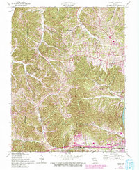
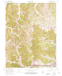
1954 Map of Eureka
USGS Topo · Published 1993About this map
Babler State Park and Rockwoods Reservation dominate the high, dissected ridges of the eastern Ozark border, where local life centered around small valley settlements and rural crossroads in the early 1950s. Communities like Grover and Melrose are shown alongside smaller locales such as Petersville and Glencoe, with the latter situated near the winding Meramec River. The map reveals a landscape transitioning from traditional land uses toward conservation and recreation, evidenced by the extensive acreage of Greensfelder County Park and the Rockwoods Range.
Find a feature on this map
40 named features on this map. Tap any name to fly to it.
Don’t see what you’re looking for? This feature index may not catch every label — zoom into the map to look around manually.
Map Details
Editions of this 1954 Eureka Map
7 editions found
Other maps of this area

1901 · De Soto
USGS Topo · 1:125,000

1903 · O'Fallon
USGS Topo · 1:125,000

1931 · Manchester SE
USGS Topo · 1:24,000

1931 · Pacific NE
USGS Topo · 1:24,000

1932 · Manchester NE
USGS Topo · 1:24,000

1937 · Pacific
USGS Topo · 1:24,000

1937 · Weldon Spring
USGS Topo · 1:24,000

1940 · Eureka
USGS Topo · 1:24,000

1940 · Weldon Spring
USGS Topo · 1:24,000

1944 · Eureka
USGS Topo · 1:24,000