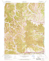
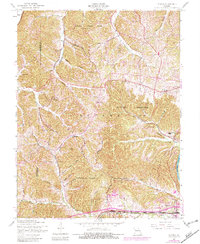
1954 Map of Eureka
USGS Topo · Published 1969About this map
Babler State Park and the rugged Rockwoods Range dominate this landscape west of St. Louis, where steep hollows like Wildhorse Hollow and Pinhook Hollow drain toward the Missouri River and Meramec River. The 1968 photorevisions highlight a period of transition, marking several local institutions as no longer active, including Wildhorse Creek Sch and Melrose Sch. The southern edge of the map follows the corridor of the St Louis San Francisco railroad through Allenton and Eureka, while the interior remains defined by small settlements like Melrose, Pond, and Grover. Genealogists will find the Allen Cem near the southern border and several historic churches, such as St Pauls Ch and Bethel Ch, serving the crossroads communities. The presence of the Rockwoods Military Reservation and the La Salle Institute further illustrates the varied land use of this Missouri river-bluff region.
Find a feature on this map
45 named features on this map. Tap any name to fly to it.
Don’t see what you’re looking for? This feature index may not catch every label — zoom into the map to look around manually.
Map Details
Editions of this 1954 Eureka Map
7 editions found
Other maps of this area

1901 · De Soto
USGS Topo · 1:125,000

1903 · O'Fallon
USGS Topo · 1:125,000

1931 · Manchester SE
USGS Topo · 1:24,000

1931 · Pacific NE
USGS Topo · 1:24,000

1932 · Manchester NE
USGS Topo · 1:24,000

1937 · Pacific
USGS Topo · 1:24,000

1937 · Weldon Spring
USGS Topo · 1:24,000

1940 · Eureka
USGS Topo · 1:24,000

1940 · Weldon Spring
USGS Topo · 1:24,000

1944 · Eureka
USGS Topo · 1:24,000