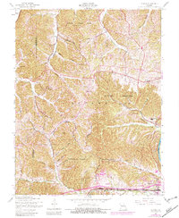
1954 Map of Eureka
USGS Topo · Published 1982About this map
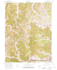
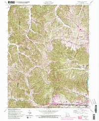
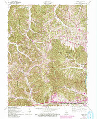
The Meramec River and Missouri River define the northern and southern edges of this Missouri landscape, with the rugged hills between them punctuated by numerous hollows and spring-fed creeks. Settlement patterns in the mid-20th century are anchored by small communities like Allenton and Eureka, which sit along the Burlington Northern and Missouri Pacific railroad corridors. This area is characterized by significant protected lands, including the sprawling Babler State Park and the Rockwoods Reservation. Local institutions such as St Pauls Ch, Bethel Ch, and the La Salle Institute provide a detailed look at the social and religious infrastructure of the day. Of particular interest to historians is the industrial presence of a Kiln near Hamilton Road and the established network of smaller settlements like Petersville, Melrose, and Glencoe.
Find a feature on this map
40 named features on this map. Tap any name to fly to it.
Don’t see what you’re looking for? This feature index may not catch every label — zoom into the map to look around manually.
Map Details
Editions of this 1954 Eureka Map
7 editions found
Other maps of this area

1901 · De Soto
USGS Topo · 1:125,000

1903 · O'Fallon
USGS Topo · 1:125,000

1931 · Manchester SE
USGS Topo · 1:24,000

1931 · Pacific NE
USGS Topo · 1:24,000

1932 · Manchester NE
USGS Topo · 1:24,000

1937 · Pacific
USGS Topo · 1:24,000

1937 · Weldon Spring
USGS Topo · 1:24,000

1940 · Eureka
USGS Topo · 1:24,000

1940 · Weldon Spring
USGS Topo · 1:24,000

1944 · Eureka
USGS Topo · 1:24,000